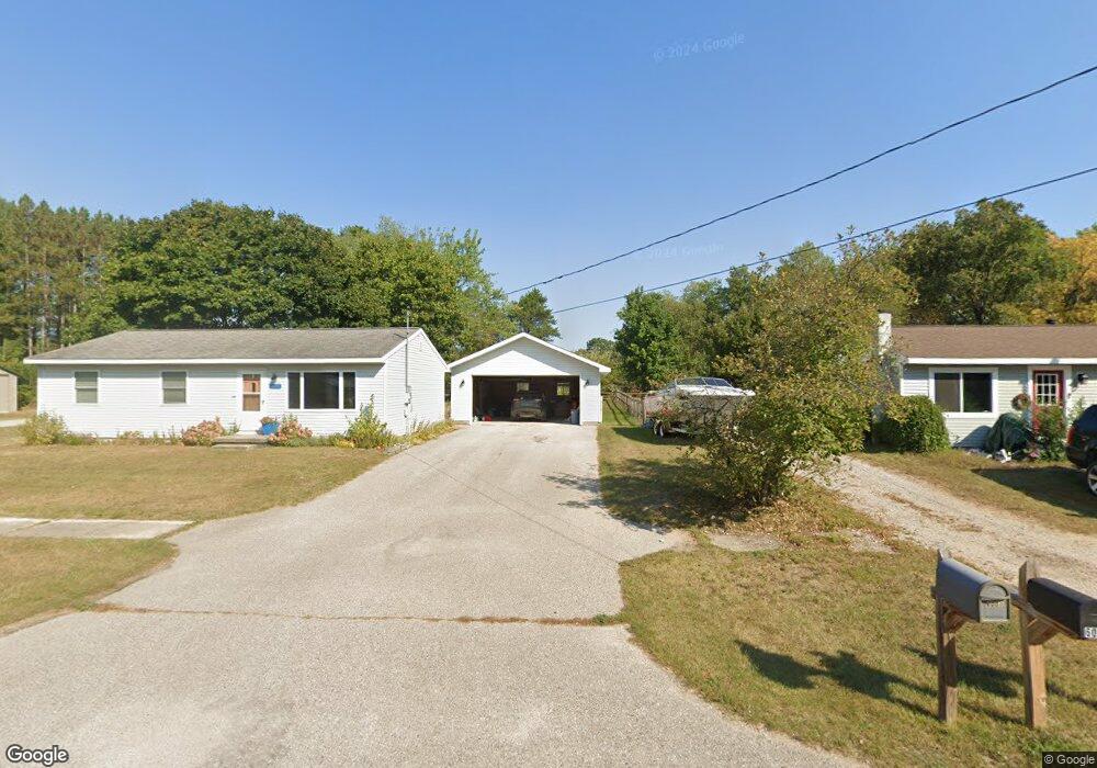
6001 W Main St Pellston, MI 49769
Estimated Value: $165,000 - $196,000
--
Bed
--
Bath
--
Sq Ft
0.36
Acres
About This Home
This home is located at 6001 W Main St, Pellston, MI 49769 and is currently estimated at $180,680. 6001 W Main St is a home located in Emmet County with nearby schools including Pellston Elementary School and Pellston Middle/High School.
Ownership History
Date
Name
Owned For
Owner Type
Purchase Details
Closed on
Sep 5, 2024
Sold by
Robbins Scott James and Carr Betsy Jo
Bought by
Celez Steven
Current Estimated Value
Home Financials for this Owner
Home Financials are based on the most recent Mortgage that was taken out on this home.
Original Mortgage
$162,011
Outstanding Balance
$160,190
Interest Rate
6.47%
Mortgage Type
FHA
Estimated Equity
$20,490
Purchase Details
Closed on
Oct 4, 2005
Sold by
Robbins James P and Robbins Raeone
Bought by
Robbins Scott Mark and Robbins David
Create a Home Valuation Report for This Property
The Home Valuation Report is an in-depth analysis detailing your home's value as well as a comparison with similar homes in the area
Home Values in the Area
Average Home Value in this Area
Purchase History
| Date | Buyer | Sale Price | Title Company |
|---|---|---|---|
| Celez Steven | $165,000 | -- | |
| Robbins Scott Mark | -- | -- |
Source: Public Records
Mortgage History
| Date | Status | Borrower | Loan Amount |
|---|---|---|---|
| Open | Celez Steven | $162,011 |
Source: Public Records
Tax History Compared to Growth
Tax History
| Year | Tax Paid | Tax Assessment Tax Assessment Total Assessment is a certain percentage of the fair market value that is determined by local assessors to be the total taxable value of land and additions on the property. | Land | Improvement |
|---|---|---|---|---|
| 2025 | $1,966 | $65,200 | $65,200 | $0 |
| 2024 | $1,966 | $60,700 | $60,700 | $0 |
| 2023 | $1,815 | $54,500 | $54,500 | $0 |
| 2022 | $1,815 | $49,500 | $49,500 | $0 |
| 2021 | $1,203 | $47,400 | $47,400 | $0 |
| 2020 | $1,208 | $44,900 | $44,900 | $0 |
| 2019 | -- | $40,200 | $40,200 | $0 |
| 2018 | -- | $40,000 | $40,000 | $0 |
| 2017 | -- | $39,900 | $39,900 | $0 |
| 2016 | -- | $38,300 | $38,300 | $0 |
| 2015 | -- | $38,300 | $0 | $0 |
| 2014 | -- | $34,800 | $0 | $0 |
Source: Public Records
Map
Nearby Homes
- 000 Vacant U S 31
- 6457 State St
- 6421 Airport Crossing Rd Unit 1
- 6672 Industrial Dr
- 0 Reed Rd Unit 474270
- TBD Teal Rd
- 4333 U S 31
- 9470 Silver Strand Rd
- 9670 Silver Strand Rd
- 9485 Ingleside Rd
- 3016 W Burt Lake Rd
- 10999 Koepke Rd
- 10222 W Munro Lake Dr
- 5383 N Conway Rd
- 1975 &1995 Club House Dr
- 1975 + 1995 Club House Dr
- 6430 Admirals Point Dr
- 6167 Lambert Dr
- 5100 N Bay Way
- 1253 Walkabout Ln