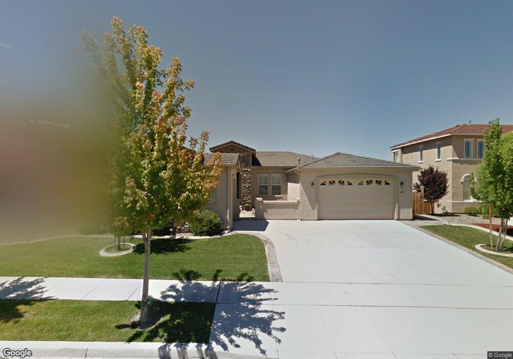
6003 Axis Dr Sparks, NV 89436
Wingfield Springs NeighborhoodEstimated Value: $665,000 - $883,000
4
Beds
3
Baths
2,004
Sq Ft
$399/Sq Ft
Est. Value
About This Home
This home is located at 6003 Axis Dr, Sparks, NV 89436 and is currently estimated at $799,500, approximately $398 per square foot. 6003 Axis Dr is a home located in Washoe County with nearby schools including Van Gorder Elementary School, Sky Ranch Middle School, and Spanish Springs High School.
Ownership History
Date
Name
Owned For
Owner Type
Purchase Details
Closed on
Jun 3, 2015
Sold by
Monts Rufus M and Monts Ae Sun
Bought by
Monts Rufus M and Monts Ae Sun
Current Estimated Value
Purchase Details
Closed on
May 5, 2004
Sold by
Reynen & Bardis Wingfield Springs Llc
Bought by
Monts Mike and Monts Ae Sun
Home Financials for this Owner
Home Financials are based on the most recent Mortgage that was taken out on this home.
Original Mortgage
$125,000
Interest Rate
5.75%
Mortgage Type
Purchase Money Mortgage
Create a Home Valuation Report for This Property
The Home Valuation Report is an in-depth analysis detailing your home's value as well as a comparison with similar homes in the area
Home Values in the Area
Average Home Value in this Area
Purchase History
| Date | Buyer | Sale Price | Title Company |
|---|---|---|---|
| Monts Rufus M | -- | Prc Div Of Placer Title Co | |
| Monts Mike | $529,500 | First American Title |
Source: Public Records
Mortgage History
| Date | Status | Borrower | Loan Amount |
|---|---|---|---|
| Previous Owner | Monts Mike | $125,000 |
Source: Public Records
Tax History
| Year | Tax Paid | Tax Assessment Tax Assessment Total Assessment is a certain percentage of the fair market value that is determined by local assessors to be the total taxable value of land and additions on the property. | Land | Improvement |
|---|---|---|---|---|
| 2026 | $2,121 | $205,952 | $62,606 | $143,345 |
| 2025 | $4,123 | $207,870 | $62,606 | $145,264 |
| 2024 | $4,123 | $202,043 | $55,521 | $146,523 |
| 2023 | $4,003 | $196,573 | $56,333 | $140,240 |
| 2022 | $4,482 | $161,467 | $46,487 | $114,980 |
| 2021 | $4,150 | $155,079 | $41,108 | $113,971 |
| 2020 | $3,903 | $157,971 | $42,732 | $115,239 |
| 2019 | $3,615 | $150,438 | $40,042 | $110,396 |
| 2018 | $3,548 | $140,890 | $32,744 | $108,146 |
| 2017 | $3,405 | $138,455 | $30,781 | $107,674 |
| 2016 | $3,318 | $135,791 | $29,164 | $106,627 |
| 2015 | -- | $116,808 | $20,020 | $96,788 |
| 2014 | $3,210 | $102,601 | $17,154 | $85,447 |
| 2013 | -- | $83,657 | $13,923 | $69,734 |
Source: Public Records
Map
Nearby Homes
- 5958 Solstice Dr
- 5989 Solstice Dr
- 2910 Albazano Ct
- 2730 Albazano Dr Unit 21A
- 2825 Grosmont Dr Unit 21A
- 6180 Ingleston Dr Unit 316
- 5700 Falcon Ridge Ct
- 6151 Ingleston Dr
- 6177 Black Gypsum Ct
- 3194 10 Mile Dr
- 6272 Black Cinder Ct Unit 2428
- 3239 Banestone Rd Unit 19B
- 5926 Ingleston Dr
- 6302 Cokenee Ct
- 6375 N Ginger Quill Ct
- 5865 Ingleston Dr
- 6313 Bonita Ct
- 5465 Spirit Ct
- 3031 Honey Arbor Way
- 6348 Chilhowee Ct
Your Personal Tour Guide
Ask me questions while you tour the home.