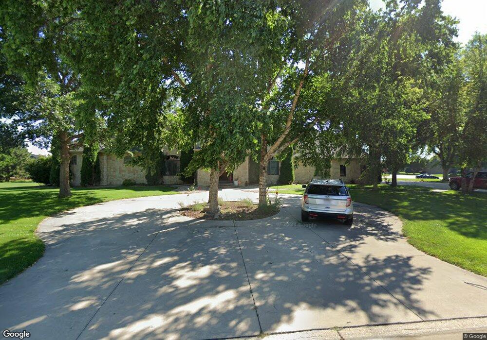
6004 Pheasant Run Ave Hastings, NE 68901
Estimated Value: $1,151,000 - $1,417,000
7
Beds
7
Baths
6,278
Sq Ft
$204/Sq Ft
Est. Value
About This Home
This home is located at 6004 Pheasant Run Ave, Hastings, NE 68901 and is currently estimated at $1,283,158, approximately $204 per square foot. 6004 Pheasant Run Ave is a home located in Adams County with nearby schools including Adams County 15, Wallace School, and Adams Central Elementary School.
Ownership History
Date
Name
Owned For
Owner Type
Purchase Details
Closed on
Sep 9, 2024
Sold by
Wibbels Paul C and Seizys Michelle
Bought by
Paul C Wibbels And Michelle Seizys Revocable and Wibbels
Current Estimated Value
Purchase Details
Closed on
Jun 28, 2007
Sold by
Rodriguez Eric J and Rodriguez Kristine M
Bought by
Wibbels Paul C and Seizys Michelle
Home Financials for this Owner
Home Financials are based on the most recent Mortgage that was taken out on this home.
Original Mortgage
$376,000
Interest Rate
6.37%
Mortgage Type
Purchase Money Mortgage
Create a Home Valuation Report for This Property
The Home Valuation Report is an in-depth analysis detailing your home's value as well as a comparison with similar homes in the area
Home Values in the Area
Average Home Value in this Area
Purchase History
| Date | Buyer | Sale Price | Title Company |
|---|---|---|---|
| Paul C Wibbels And Michelle Seizys Revocable | -- | None Listed On Document | |
| Wibbels Paul C | $695,000 | None Available |
Source: Public Records
Mortgage History
| Date | Status | Borrower | Loan Amount |
|---|---|---|---|
| Previous Owner | Wibbels Paul C | $376,000 |
Source: Public Records
Tax History Compared to Growth
Tax History
| Year | Tax Paid | Tax Assessment Tax Assessment Total Assessment is a certain percentage of the fair market value that is determined by local assessors to be the total taxable value of land and additions on the property. | Land | Improvement |
|---|---|---|---|---|
| 2024 | $17,267 | $1,430,891 | $102,532 | $1,328,359 |
| 2023 | $21,141 | $1,336,985 | $102,532 | $1,234,453 |
| 2022 | $22,682 | $1,336,985 | $102,532 | $1,234,453 |
| 2021 | $12,208 | $741,869 | $85,954 | $655,915 |
| 2020 | $11,890 | $741,869 | $85,954 | $655,915 |
| 2019 | $11,594 | $741,869 | $85,954 | $655,915 |
| 2018 | $11,791 | $742,920 | $87,005 | $655,915 |
| 2017 | $11,700 | $742,920 | $0 | $0 |
| 2016 | $10,704 | $700,010 | $87,005 | $613,005 |
| 2010 | $12,768 | $656,260 | $84,000 | $572,260 |
Source: Public Records
Map
Nearby Homes
- 5804 Pheasant Run Ave
- 5905 Mallard Way
- 508 Quail Cir
- 15 Village Dr
- 843 Highland Dr
- 920 Highland Dr
- 635 E Lochland Rd
- 5402 Randolph Cir
- 0 Jordan Way
- XXX E Osborne Dr
- 3610 Wendell Dr
- 3202 Lake Park Ln
- 602 Dockside Cove
- 3109 W Laux Dr
- 3107 W Laux Dr
- 604 Brooking Cir
- 3211 E Laux Dr
- 3117 Frahm Ln
- 3221 Frahm Ln
- 2907 Lakeview Cove
- 407 Pheasant Cir Unit 4
- 6002 Mallard Way
- 6001 Pheasant Run Ave
- 403 Pheasant Cir Unit 3
- 414 Pheasant Cir Unit 2
- 410 Pheasant Cir
- 5908 Pheasant Run Ave Unit 6
- 5908 Pheasant Run Ave Unit 5
- 403 Dovetail
- 6007 Mallard Way
- 5905 Pheasant Run Ave
- 6011 Mallard Way
- 322 Pintail Cir
- 6000 Mallard Way Ave
- 6000 Mallard Way
- 5902 Pheasant Run Ave
- 321 Pintail Cir Unit 12
- 408 Dovetail
- 5903 Pheasant Run Ave
- 404 Dovetail