60048 Highway 50 Olathe, CO 81425
Estimated Value: $743,000 - $819,000
4
Beds
2
Baths
2,858
Sq Ft
$270/Sq Ft
Est. Value
About This Home
This home is located at 60048 Highway 50, Olathe, CO 81425 and is currently estimated at $771,415, approximately $269 per square foot. 60048 Highway 50 is a home located in Montrose County with nearby schools including Olathe Elementary School, Olathe Middle and High School, and Olathe Middle School.
Ownership History
Date
Name
Owned For
Owner Type
Purchase Details
Closed on
Nov 9, 2022
Sold by
Jimenez Joe
Bought by
Jimenez Land And Livestock Revocable Trust
Current Estimated Value
Purchase Details
Closed on
Nov 30, 2006
Sold by
Jimenez Joe R and Jimenez Margie
Bought by
Jimenez Ii Joe and Jimenez Jenny
Purchase Details
Closed on
Oct 10, 1975
Sold by
Clayton Martha E
Bought by
Jimenez Joe R and Jimenez Margie
Create a Home Valuation Report for This Property
The Home Valuation Report is an in-depth analysis detailing your home's value as well as a comparison with similar homes in the area
Purchase History
| Date | Buyer | Sale Price | Title Company |
|---|---|---|---|
| Jimenez Land And Livestock Revocable Trust | -- | -- | |
| Jimenez Ii Joe | -- | None Available | |
| Jimenez Joe R | -- | -- |
Source: Public Records
Tax History
| Year | Tax Paid | Tax Assessment Tax Assessment Total Assessment is a certain percentage of the fair market value that is determined by local assessors to be the total taxable value of land and additions on the property. | Land | Improvement |
|---|---|---|---|---|
| 2024 | $3,254 | $47,240 | $3,130 | $44,110 |
| 2023 | $3,310 | $52,340 | $3,130 | $49,210 |
| 2022 | $2,432 | $38,640 | $2,970 | $35,670 |
| 2021 | $2,558 | $40,450 | $3,250 | $37,200 |
| 2020 | $2,204 | $35,560 | $2,740 | $32,820 |
| 2019 | $2,218 | $35,560 | $2,740 | $32,820 |
| 2018 | $2,144 | $33,440 | $3,400 | $30,040 |
| 2017 | $2,140 | $33,440 | $3,400 | $30,040 |
| 2016 | $2,126 | $33,840 | $2,320 | $31,520 |
| 2015 | $1,959 | $33,840 | $2,320 | $31,520 |
| 2014 | $1,674 | $30,940 | $1,920 | $29,020 |
Source: Public Records
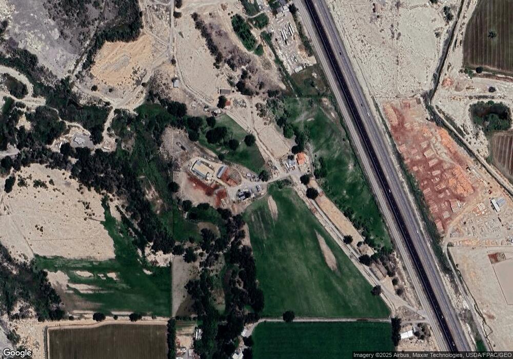
Map
Nearby Homes
- 7528 S River Rd
- 7655 6075 Rd
- 6851 Church Rd
- 6859 Church St
- 612 S Church Ave
- 615 S Church Ave
- Lot 2(TBD) Wilson Ave
- 6910 High Mesa Rd
- TBD (Lot 2) Gunnison Rd
- TBD (Lot 1) Gunnison Rd
- TBD (Lot 3) Gunnison Rd
- 217 N Highway 50 Business Loop
- 58177 Garner Ln
- 9150 6115 Rd
- 9456 6075 Rd
- 9569 Indian Dr
- 9550 High Mesa Rd
- 60955 Highway 50
- 61067 Hwy-50
- 61067 Us 50
- 7136 5975 Rd
- 59968 Highway 50
- 59921 Highway 50
- 59927 Highway 50
- 59912 Highway 50
- 60052 Highway 50
- 59900 Highway 50
- 60062 Highway 50
- 7133 5975 Rd
- 59770 Falcon Rd
- 6025 Road
- 7389 6025 Rd
- 59954 Falcon Rd
- 59994 Falcon Rd
- 60092 Falcon Rd
- 6966 5975 Rd
- 7553 6025 Rd
- 0 Hwy 50 Unit 766822
- 0 Hwy 50 Unit 699788
- 0 Hwy 50 Unit 643344
Your Personal Tour Guide
Ask me questions while you tour the home.