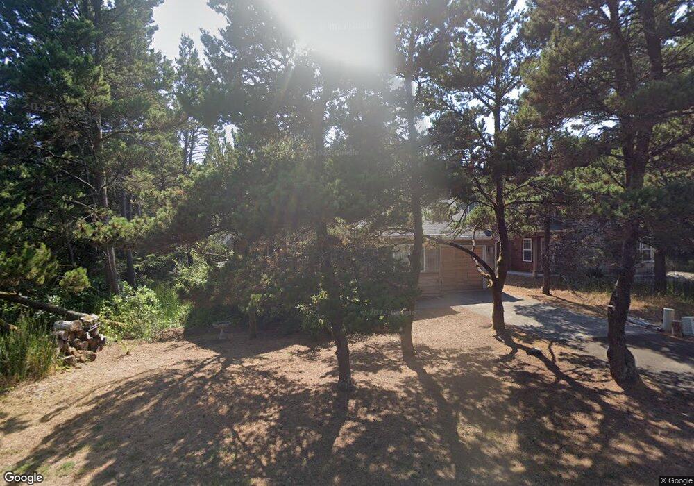
6005 Nestucca Ridge Rd Unit Nestucca Ridge 3 Pacific City, OR 97135
Estimated Value: $504,000 - $653,000
3
Beds
2
Baths
1,335
Sq Ft
$446/Sq Ft
Est. Value
About This Home
This home is located at 6005 Nestucca Ridge Rd Unit Nestucca Ridge 3, Pacific City, OR 97135 and is currently estimated at $595,101, approximately $445 per square foot. 6005 Nestucca Ridge Rd Unit Nestucca Ridge 3 is a home located in Tillamook County with nearby schools including Nestucca K-8 School and Nestucca High School.
Ownership History
Date
Name
Owned For
Owner Type
Purchase Details
Closed on
Feb 21, 2019
Sold by
Rutschman Donald A and Rutschman Judy M
Bought by
Rutschman Donald A and Rutschman Judy M
Current Estimated Value
Purchase Details
Closed on
Sep 13, 2013
Sold by
Federal Home Loan Mortgage Corporation
Bought by
Rutschman Donald A and Rutschman Judy M
Purchase Details
Closed on
Jul 17, 2013
Sold by
Bank Of America Na
Bought by
Federal Home Loan Mortgage Corporation
Create a Home Valuation Report for This Property
The Home Valuation Report is an in-depth analysis detailing your home's value as well as a comparison with similar homes in the area
Home Values in the Area
Average Home Value in this Area
Purchase History
| Date | Buyer | Sale Price | Title Company |
|---|---|---|---|
| Rutschman Donald A | -- | None Available | |
| Rutschman Donald A | $187,500 | Ticor | |
| Federal Home Loan Mortgage Corporation | -- | None Available |
Source: Public Records
Tax History Compared to Growth
Tax History
| Year | Tax Paid | Tax Assessment Tax Assessment Total Assessment is a certain percentage of the fair market value that is determined by local assessors to be the total taxable value of land and additions on the property. | Land | Improvement |
|---|---|---|---|---|
| 2024 | $2,965 | $245,250 | $82,280 | $162,970 |
| 2023 | $2,945 | $238,110 | $79,880 | $158,230 |
| 2022 | $2,841 | $231,180 | $77,550 | $153,630 |
| 2021 | $2,774 | $224,450 | $75,290 | $149,160 |
| 2020 | $2,707 | $217,920 | $73,090 | $144,830 |
| 2019 | $2,713 | $211,580 | $70,960 | $140,620 |
| 2018 | $2,496 | $205,420 | $68,890 | $136,530 |
| 2017 | $2,287 | $199,440 | $66,890 | $132,550 |
| 2016 | $2,249 | $193,640 | $64,940 | $128,700 |
| 2015 | $2,199 | $188,000 | $63,050 | $124,950 |
| 2014 | $2,157 | $182,530 | $61,210 | $121,320 |
| 2013 | -- | $177,220 | $59,430 | $117,790 |
Source: Public Records
Map
Nearby Homes
- 34320 Cape Kiwanda Dr
- 5950 Neptune Dr
- 5706 Four Sisters Ln
- 34270 Sea Swallow Dr
- 34475 Brooten Rd
- 5904 Barefoot Ln
- 5930 Summerhouse Ln
- 34905 Cape Kiwanda Dr
- 34800 Ocean Dr
- 5685 Barefoot Ln
- TL 2714 Tent St
- 34700 Hill St
- 33520 Cape Kiwanda Dr
- 0 Dory Pointe Loop Unit TL8100 229390931
- 33515 Madrona Dr
- 33495 Cape Kiwanda Dr
- 6415 Dory Pointe Loop
- 35100 Sunset Dr
- 6005 Nestucca Ridge Rd
- 5975 Nestucca Ridge Rd
- 6055 Nestucca Ridge Rd
- 34210 Venture Blvd
- 6105 Nestucca Ridge Rd
- 6000 Nestucca Ridge Rd
- 6000 Nestucca Ridge Rd
- 34145 Ebb Tide Dr
- 5925 Nestucca Ridge Rd
- 6155 Nestucca Ridge Rd
- 6155 Nestucca Ridge Rd
- TL41 Venture Blvd
- Lot 44 Venture Blvd
- na Venture Blvd
- 9600 Venture Blvd
- 4000 Venture Blvd
- 0000 Venture Blvd
- V/L4700 Venture Blvd
- 47 Venture Blvd
- 34155 Venture Blvd