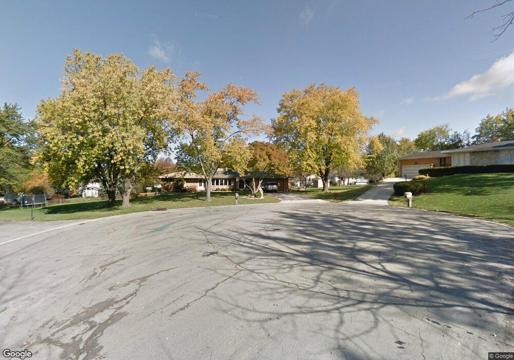
6005 Ridge Ct Lisle, IL 60532
Summerhill Park NeighborhoodEstimated Value: $527,000 - $543,553
--
Bed
1
Bath
1,852
Sq Ft
$289/Sq Ft
Est. Value
About This Home
This home is located at 6005 Ridge Ct, Lisle, IL 60532 and is currently estimated at $535,888, approximately $289 per square foot. 6005 Ridge Ct is a home located in DuPage County with nearby schools including Goodrich Elementary School, Thomas Jefferson Junior High School, and Downer Grove North High School.
Ownership History
Date
Name
Owned For
Owner Type
Purchase Details
Closed on
Jun 25, 2024
Sold by
Goudreau Brigitte and Postel Brigitte Marie
Bought by
Leo And Brigitte Postel Trust and Postel
Current Estimated Value
Purchase Details
Closed on
May 17, 2001
Sold by
Armstrong Donn R and Armstrong Joanne E
Bought by
Goudreau Brigitte
Home Financials for this Owner
Home Financials are based on the most recent Mortgage that was taken out on this home.
Original Mortgage
$130,000
Interest Rate
7.02%
Create a Home Valuation Report for This Property
The Home Valuation Report is an in-depth analysis detailing your home's value as well as a comparison with similar homes in the area
Home Values in the Area
Average Home Value in this Area
Purchase History
| Date | Buyer | Sale Price | Title Company |
|---|---|---|---|
| Leo And Brigitte Postel Trust | -- | None Listed On Document | |
| Goudreau Brigitte | $245,000 | Collar Counties Title Plant |
Source: Public Records
Mortgage History
| Date | Status | Borrower | Loan Amount |
|---|---|---|---|
| Previous Owner | Goudreau Brigitte | $130,000 |
Source: Public Records
Tax History Compared to Growth
Tax History
| Year | Tax Paid | Tax Assessment Tax Assessment Total Assessment is a certain percentage of the fair market value that is determined by local assessors to be the total taxable value of land and additions on the property. | Land | Improvement |
|---|---|---|---|---|
| 2024 | $11,275 | $151,338 | $73,379 | $77,959 |
| 2023 | $10,787 | $138,120 | $66,970 | $71,150 |
| 2022 | $10,327 | $130,300 | $63,180 | $67,120 |
| 2021 | $9,930 | $125,370 | $60,790 | $64,580 |
| 2020 | $9,762 | $123,120 | $59,700 | $63,420 |
| 2019 | $9,461 | $117,800 | $57,120 | $60,680 |
| 2018 | $9,313 | $112,260 | $57,120 | $55,140 |
| 2017 | $9,061 | $108,470 | $55,190 | $53,280 |
| 2016 | $8,933 | $104,540 | $53,190 | $51,350 |
| 2015 | $8,800 | $98,450 | $50,090 | $48,360 |
| 2014 | $9,059 | $98,450 | $50,090 | $48,360 |
| 2013 | $8,869 | $98,690 | $50,210 | $48,480 |
Source: Public Records
Map
Nearby Homes
- 5844 Kingston Ave
- 5904 Elm St
- 5809 Clover Dr
- 5913 Dover Dr
- 6301 Sandbelt Dr Unit 33005
- 6303 Sandbelt Dr Unit 33004
- 6289 Sandbelt Dr Unit 34004
- 6291 Sandbelt Dr Unit 34005
- 6285 Sandbelt Dr Unit 34002
- 6248 Sandbelt Dr Unit 20002
- 6255 Sandbelt Dr Unit 36003
- 6283 Sandbelt Dr Unit 34001
- 6313 Macarthur Dr
- 22W144 59th St
- 5927 Sherman Dr
- 3546 Kemper Dr
- 5609 Lincoln Ave
- 3573 Mulligan Dr
- 3550 Irving Place
- 6613 Carl Ct