6005 Watt Rd Camden, OH 45311
Estimated Value: $327,000 - $454,488
3
Beds
2
Baths
1,420
Sq Ft
$261/Sq Ft
Est. Value
About This Home
This home is located at 6005 Watt Rd, Camden, OH 45311 and is currently estimated at $370,122, approximately $260 per square foot. 6005 Watt Rd is a home located in Preble County with nearby schools including Hollingsworth East Elementary School, William Bruce Elementary School, and Eaton Middle School.
Ownership History
Date
Name
Owned For
Owner Type
Purchase Details
Closed on
Nov 7, 2019
Sold by
Smith Stewart L and Smith Constance A
Bought by
Montgomery Eli D and Montgomery Amanda R
Current Estimated Value
Home Financials for this Owner
Home Financials are based on the most recent Mortgage that was taken out on this home.
Original Mortgage
$172,000
Outstanding Balance
$151,316
Interest Rate
3.6%
Mortgage Type
New Conventional
Estimated Equity
$218,806
Purchase Details
Closed on
Aug 2, 2013
Sold by
Smith Stewart L and Smith Constance A
Bought by
Smith Stewart L and Smith Constance A
Create a Home Valuation Report for This Property
The Home Valuation Report is an in-depth analysis detailing your home's value as well as a comparison with similar homes in the area
Home Values in the Area
Average Home Value in this Area
Purchase History
| Date | Buyer | Sale Price | Title Company |
|---|---|---|---|
| Montgomery Eli D | $215,000 | Freedom Title Company Inc | |
| Smith Stewart L | -- | None Available |
Source: Public Records
Mortgage History
| Date | Status | Borrower | Loan Amount |
|---|---|---|---|
| Open | Montgomery Eli D | $172,000 |
Source: Public Records
Tax History Compared to Growth
Tax History
| Year | Tax Paid | Tax Assessment Tax Assessment Total Assessment is a certain percentage of the fair market value that is determined by local assessors to be the total taxable value of land and additions on the property. | Land | Improvement |
|---|---|---|---|---|
| 2024 | $2,560 | $112,820 | $57,830 | $54,990 |
| 2023 | $2,560 | $112,820 | $57,830 | $54,990 |
| 2022 | $2,243 | $51,560 | $12,430 | $39,130 |
| 2021 | $2,353 | $87,640 | $48,510 | $39,130 |
| 2020 | $2,266 | $87,640 | $48,510 | $39,130 |
| 2019 | $2,337 | $84,110 | $46,200 | $37,910 |
| 2018 | $2,411 | $84,110 | $46,200 | $37,910 |
| 2017 | $2,659 | $84,110 | $46,200 | $37,910 |
| 2016 | $2,681 | $74,400 | $39,400 | $35,000 |
| 2014 | $2,222 | $74,340 | $39,340 | $35,000 |
| 2013 | $2,222 | $69,335 | $34,335 | $35,000 |
Source: Public Records
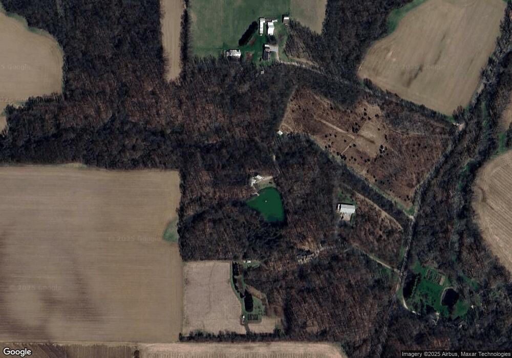
Map
Nearby Homes
- 6027 Watt Rd
- 5987 Watt Rd
- 6028 Watt Rd
- 8209 Paintcreek 4 Mile Rd
- 4572 Watt Rd
- 6015 State Route 177
- 5462 State Route 177
- 5877 Concord Fairhaven Rd
- 7659 Paintcreek 4 Mile Rd
- 7601 Paint Creek 4 Mile Rd
- 5237 Concord Fairhaven Rd
- 50.984ac Paint Creek 4 Mile Rd
- 7364 Paintcreek 4 Mile Rd
- 7364 Paint Creek 4 Mile Rd
- 7364 Paint Creek 4 Mile Rd
- 4805 Concord Fairhaven Rd
- 6671 State Route 177
- 6671 State Route 177