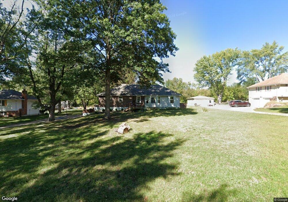
6006 Trott Rd Belton, MO 64012
Estimated Value: $293,278 - $369,000
3
Beds
2
Baths
1,672
Sq Ft
$202/Sq Ft
Est. Value
About This Home
This home is located at 6006 Trott Rd, Belton, MO 64012 and is currently estimated at $337,820, approximately $202 per square foot. 6006 Trott Rd is a home located in Cass County with nearby schools including Cambridge Elementary School, Belton Middle School, and Mill Creek Upper Elementary School.
Ownership History
Date
Name
Owned For
Owner Type
Purchase Details
Closed on
Jan 31, 2013
Sold by
Linton Deborah M
Bought by
Linton Deborah M and Schaffner David J
Current Estimated Value
Purchase Details
Closed on
Sep 12, 2011
Sold by
Hentriz Kevin Wayne
Bought by
Linton Deborah
Home Financials for this Owner
Home Financials are based on the most recent Mortgage that was taken out on this home.
Original Mortgage
$82,845
Outstanding Balance
$56,968
Interest Rate
4.5%
Mortgage Type
FHA
Estimated Equity
$280,852
Create a Home Valuation Report for This Property
The Home Valuation Report is an in-depth analysis detailing your home's value as well as a comparison with similar homes in the area
Purchase History
| Date | Buyer | Sale Price | Title Company |
|---|---|---|---|
| Linton Deborah M | -- | None Available | |
| Linton Deborah | -- | None Available |
Source: Public Records
Mortgage History
| Date | Status | Borrower | Loan Amount |
|---|---|---|---|
| Open | Linton Deborah | $82,845 |
Source: Public Records
Tax History
| Year | Tax Paid | Tax Assessment Tax Assessment Total Assessment is a certain percentage of the fair market value that is determined by local assessors to be the total taxable value of land and additions on the property. | Land | Improvement |
|---|---|---|---|---|
| 2025 | $2,176 | $38,200 | $4,700 | $33,500 |
| 2024 | $2,176 | $33,840 | $4,280 | $29,560 |
| 2023 | $2,176 | $33,840 | $4,280 | $29,560 |
| 2022 | $1,977 | $30,310 | $4,280 | $26,030 |
| 2021 | $1,977 | $30,310 | $4,280 | $26,030 |
| 2020 | $1,926 | $29,410 | $4,280 | $25,130 |
| 2019 | $1,817 | $29,410 | $4,280 | $25,130 |
| 2018 | $1,742 | $26,800 | $3,420 | $23,380 |
| 2017 | $1,658 | $26,800 | $3,420 | $23,380 |
| 2016 | $1,658 | $25,440 | $3,420 | $22,020 |
| 2015 | $1,658 | $25,440 | $3,420 | $22,020 |
| 2014 | $1,665 | $25,440 | $3,420 | $22,020 |
| 2013 | -- | $25,440 | $3,420 | $22,020 |
Source: Public Records
Map
Nearby Homes
- 6007 Trott Rd
- LOT 3 Oak St
- LOT 4 Oak St
- LOT 1 Oak St
- LOT 2 Oak St
- 18802 S Lakeside Ln
- 18714 S Lakeside Ln
- 1208 S Cedar St
- 1112 S Scott Ave
- 19618 S Mullen Rd
- 18607 S Askew Ave
- 730 E Cambridge Rd
- 0 S Cleveland Ave
- 406 Timbercreek Dr
- 212 W Cambridge Rd
- 709 Hollis Ave
- 200 Park Ave
- 416 Timbercreek Dr
- 703 York Dr
- 8211 E 189th St
Your Personal Tour Guide
Ask me questions while you tour the home.