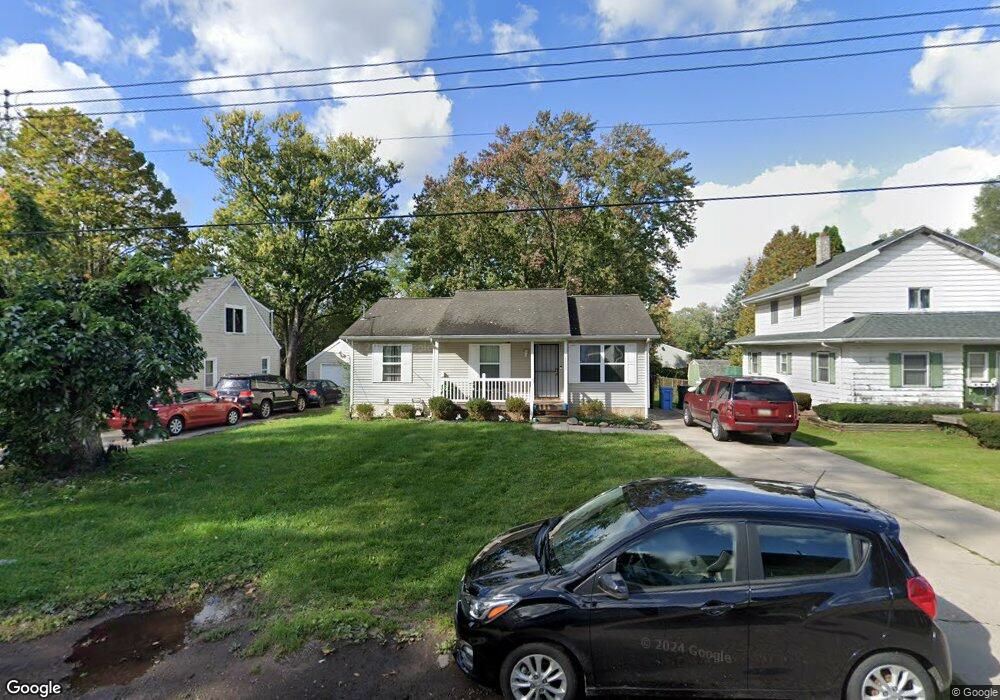
6008 Piper Ave Lansing, MI 48911
Southern Lansing NeighborhoodEstimated Value: $158,000 - $224,000
3
Beds
1
Bath
2,128
Sq Ft
$85/Sq Ft
Est. Value
About This Home
This home is located at 6008 Piper Ave, Lansing, MI 48911 and is currently estimated at $181,533, approximately $85 per square foot. 6008 Piper Ave is a home located in Ingham County with nearby schools including Reo Elementary School, Attwood School, and Everett High School.
Ownership History
Date
Name
Owned For
Owner Type
Purchase Details
Closed on
Dec 17, 2018
Sold by
Nelson Ng Kin Wab
Bought by
Elderberry Tree Management Llc
Current Estimated Value
Purchase Details
Closed on
Dec 27, 2013
Sold by
The Bank Of New York Mellon
Bought by
Raintree Management Llc
Purchase Details
Closed on
Apr 11, 2013
Sold by
Johnson Sandy R and Crymes Candace L
Bought by
The Bank Of New York Mellon
Purchase Details
Closed on
Apr 11, 2005
Sold by
Thomas Donn and Thomas Lisa M
Bought by
Johnson Sandy R and Crymes Candace L
Home Financials for this Owner
Home Financials are based on the most recent Mortgage that was taken out on this home.
Original Mortgage
$122,000
Interest Rate
6.8%
Mortgage Type
Purchase Money Mortgage
Purchase Details
Closed on
Apr 15, 2004
Sold by
Westlund Jack and Westlund Nancy
Bought by
Thomas Donn
Create a Home Valuation Report for This Property
The Home Valuation Report is an in-depth analysis detailing your home's value as well as a comparison with similar homes in the area
Home Values in the Area
Average Home Value in this Area
Purchase History
We collect this data history from publicly available records. To have your information removed, we recommend requesting removal directly through your county’s website.
| Date | Buyer | Sale Price | Title Company |
|---|---|---|---|
| Elderberry Tree Management Llc | -- | None Available | |
| Raintree Management Llc | $29,500 | Bay National Title Co | |
| The Bank Of New York Mellon | $162,602 | None Available | |
| Johnson Sandy R | $122,000 | Trans | |
| Thomas Donn | $15,000 | Mid |
Source: Public Records
Mortgage History
We collect this data history from publicly available records. To have your information removed, we recommend requesting removal directly through your county’s website.
| Date | Status | Borrower | Loan Amount |
|---|---|---|---|
| Previous Owner | Johnson Sandy R | $122,000 |
Source: Public Records
Tax History
| Year | Tax Paid | Tax Assessment Tax Assessment Total Assessment is a certain percentage of the fair market value that is determined by local assessors to be the total taxable value of land and additions on the property. | Land | Improvement |
|---|---|---|---|---|
| 2025 | $3,367 | $93,400 | $7,500 | $85,900 |
| 2024 | $28 | $74,300 | $7,500 | $66,800 |
| 2023 | $3,168 | $63,500 | $7,500 | $56,000 |
| 2022 | $2,891 | $55,600 | $5,300 | $50,300 |
| 2021 | $2,824 | $54,000 | $5,200 | $48,800 |
| 2020 | $2,804 | $49,100 | $5,200 | $43,900 |
| 2019 | $2,711 | $43,400 | $5,200 | $38,200 |
| 2018 | $2,569 | $38,500 | $5,200 | $33,300 |
| 2017 | $2,473 | $38,500 | $5,200 | $33,300 |
| 2016 | $2,375 | $36,600 | $5,200 | $31,400 |
| 2015 | $2,375 | $35,000 | $10,457 | $24,543 |
| 2014 | $2,375 | $31,700 | $16,267 | $15,433 |
Source: Public Records
Map
Nearby Homes
- 2120 Webster St
- 2407 Pollard Rd
- 5838 S Martin Luther King Junior Blvd
- 6062 Valencia Blvd
- 5440 Hughes Rd
- 3220 W Miller Rd
- 6002 Bishop Rd
- 3413 Braeburn Dr
- 1309 Penrod Ct
- 5810 Cartago Dr
- 2918 Midwood St
- 6054 Daft St
- 3636 Coachlight Common St
- 5017 Ingham St
- 1006 Attwood Dr
- 4924 Pleasant Grove Rd
- 6285 Bishop Rd
- 5017 Christiansen Rd
- 4928 Hughes Rd
- 5006 Christiansen Rd
- 6000 Piper Ave
- 6014 Piper Ave
- 6018 Piper Ave
- 2219 Newark Ave
- 6013 Pheasant Ave
- 2133 Newark Ave
- 6024 Piper Ave
- 6019 Pheasant Ave
- 5926 Piper Ave
- 2220 Newark Ave
- 6025 Pheasant Ave
- 2117 Newark Ave
- 2136 Newark Ave
- 6031 Pheasant Ave
- 5931 Pheasant Ave
- 5920 Piper Ave
- 2130 Newark Ave
- 5921 Pheasant Ave
- 6037 Pheasant Ave
- 6006 Pheasant Ave
Your Personal Tour Guide
Ask me questions while you tour the home.