6009 Muddy Creek Rd High Point, NC 27263
Estimated Value: $449,000 - $638,225
--
Bed
2
Baths
2,120
Sq Ft
$255/Sq Ft
Est. Value
About This Home
This home is located at 6009 Muddy Creek Rd, High Point, NC 27263 and is currently estimated at $541,056, approximately $255 per square foot. 6009 Muddy Creek Rd is a home located in Randolph County with nearby schools including John R. Lawrence Elementary School, Wheatmore Middle School, and Trinity High School.
Ownership History
Date
Name
Owned For
Owner Type
Purchase Details
Closed on
Jul 23, 2020
Sold by
Smith Heather and Smith Mildred
Bought by
Mitchell Rachel F and Mitchell Robert L
Current Estimated Value
Home Financials for this Owner
Home Financials are based on the most recent Mortgage that was taken out on this home.
Original Mortgage
$363,750
Outstanding Balance
$322,437
Interest Rate
3.2%
Mortgage Type
New Conventional
Estimated Equity
$218,619
Create a Home Valuation Report for This Property
The Home Valuation Report is an in-depth analysis detailing your home's value as well as a comparison with similar homes in the area
Home Values in the Area
Average Home Value in this Area
Purchase History
| Date | Buyer | Sale Price | Title Company |
|---|---|---|---|
| Mitchell Rachel F | $375,000 | None Available |
Source: Public Records
Mortgage History
| Date | Status | Borrower | Loan Amount |
|---|---|---|---|
| Open | Mitchell Rachel F | $363,750 |
Source: Public Records
Tax History Compared to Growth
Tax History
| Year | Tax Paid | Tax Assessment Tax Assessment Total Assessment is a certain percentage of the fair market value that is determined by local assessors to be the total taxable value of land and additions on the property. | Land | Improvement |
|---|---|---|---|---|
| 2025 | $4,381 | $599,900 | $434,780 | $165,120 |
| 2024 | $4,057 | $563,300 | $434,780 | $128,520 |
| 2023 | $4,057 | $563,300 | $434,780 | $128,520 |
| 2022 | $3,325 | $380,000 | $288,640 | $91,360 |
| 2021 | $3,325 | $380,000 | $288,640 | $91,360 |
| 2020 | $3,298 | $380,000 | $288,640 | $91,360 |
| 2019 | $3,298 | $380,000 | $288,640 | $91,360 |
| 2018 | $3,320 | $369,800 | $281,570 | $88,230 |
| 2016 | $3,232 | $369,796 | $281,570 | $88,226 |
| 2015 | $3,076 | $369,796 | $281,570 | $88,226 |
| 2014 | -- | $409,071 | $291,970 | $117,101 |
Source: Public Records
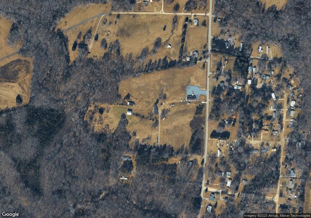
Map
Nearby Homes
- 2994 Stanley Rd Unit 13
- 0 Old Cedar Square Rd
- 5590 Old Cedar Square Rd
- 8434 Us Highway 311
- 0 Harlow Rd
- 9116 Us Highway 311
- 3368 Old Glenola Rd
- 0 Hughes Farm Rd Unit 1201373
- 0-B Us Highway 311
- 9256 Us Highway 311
- 6534 Frazier Marsh Rd
- 5988 Weant Rd
- 6071 Weant Rd
- 9622 Us Highway 311
- 100 Lindsay Dr
- 115 Lindsay Dr
- 110 Deerfield Place
- 0-C Us Highway 311
- 2060 Coltrane Mill Rd
- 0 Tom Ball Rd
- 5987 Muddy Creek Rd
- 6056 Muddy Creek Rd
- 6001 Muddy Creek Rd
- 6101 Muddy Creek Rd
- 6070 Muddy Creek Rd
- 6044 Muddy Creek Rd
- 6090 Muddy Creek Rd
- 2635 Boulder Ct
- 5980 Muddy Creek Rd
- 2634 Boulder Ct
- 2750 Howard Russell Rd
- 6141 Muddy Creek Rd
- 6116 Muddy Creek Rd
- 2633 Boulder Ct
- 2630 Boulder Ct
- 5999 Boulder Dr
- 6130 Muddy Creek Rd
- 5962 Muddy Creek Rd
- 5998 Boulder Dr
- 2631 Boulder Ct