6009 Poplar St Bellvue, CO 80512
Estimated Value: $476,395 - $587,000
2
Beds
2
Baths
1,330
Sq Ft
$394/Sq Ft
Est. Value
About This Home
This home is located at 6009 Poplar St, Bellvue, CO 80512 and is currently estimated at $524,599, approximately $394 per square foot. 6009 Poplar St is a home located in Larimer County with nearby schools including Cache La Poudre Elementary School, Cache La Poudre Middle School, and Poudre High School.
Ownership History
Date
Name
Owned For
Owner Type
Purchase Details
Closed on
Aug 24, 2018
Sold by
Stephens Tin M and Stephens Todd R
Bought by
Tucci Vincent J
Current Estimated Value
Purchase Details
Closed on
Apr 25, 2008
Sold by
Tucci Vincent James
Bought by
Tucci Vincent James and Tucci Sheri
Purchase Details
Closed on
Jul 1, 1978
Bought by
Tucci Vincent James
Create a Home Valuation Report for This Property
The Home Valuation Report is an in-depth analysis detailing your home's value as well as a comparison with similar homes in the area
Home Values in the Area
Average Home Value in this Area
Purchase History
| Date | Buyer | Sale Price | Title Company |
|---|---|---|---|
| Tucci Vincent J | $352,000 | First American Title Co | |
| Tucci Vincent James | -- | Security Title | |
| Tucci Vincent James | $41,500 | -- |
Source: Public Records
Tax History Compared to Growth
Tax History
| Year | Tax Paid | Tax Assessment Tax Assessment Total Assessment is a certain percentage of the fair market value that is determined by local assessors to be the total taxable value of land and additions on the property. | Land | Improvement |
|---|---|---|---|---|
| 2025 | $2,322 | $34,271 | $8,040 | $26,231 |
| 2024 | $2,211 | $34,271 | $8,040 | $26,231 |
| 2022 | $1,865 | $26,486 | $5,004 | $21,482 |
| 2021 | $1,881 | $27,249 | $5,148 | $22,101 |
| 2020 | $1,850 | $26,748 | $5,148 | $21,600 |
| 2019 | $1,859 | $26,748 | $5,148 | $21,600 |
| 2018 | $957 | $17,611 | $2,520 | $15,091 |
| 2017 | $954 | $17,611 | $2,520 | $15,091 |
| 2016 | $763 | $16,246 | $2,786 | $13,460 |
| 2015 | $758 | $16,250 | $2,790 | $13,460 |
| 2014 | $617 | $13,410 | $2,790 | $10,620 |
Source: Public Records
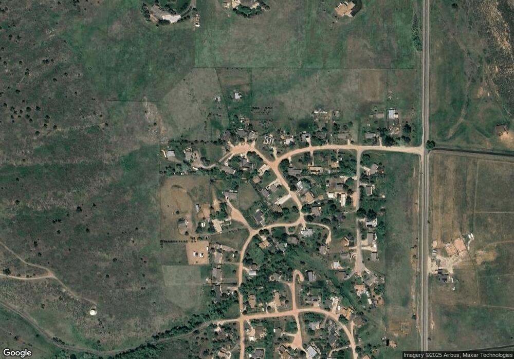
Map
Nearby Homes
- 6508 Jackpine Dr
- 100 Canyon Gulch Rd
- 898 Hernia Hill Trail
- 2720 N County Road 23
- 4516 Bingham Hill Rd
- 10435 Roan Mountain Rd
- 1600 Whale Rock Rd
- 9316 Tawny Lynx Rd
- 2921 Lochlomond Dr
- 410 High Ct
- 3328 Mcconnell Dr
- 2518 Whale Rock Rd
- 3501 Raptor Ridge Ln
- 1521 Station Ct
- 400 S Overland Trail Unit 6
- 420 N Hollywood St
- 1263 Twinflower Place
- 4520 W County Road 54g
- 1564 S Overland Trail
- 1357 Golden Currant Ct
- 6005 Poplar St
- 6013 Poplar Ct
- 816 Butternut Ct
- 5909 Birch Dr
- 6017 Poplar Ct
- 809 White Pine Dr
- 808 Butternut Ct
- 6001 Poplar St
- 6016 Poplar Ct
- 817 Butternut Ct
- 6020 Poplar Ct
- 6008 Poplar St
- 6004 Poplar St
- 6024 Poplar Ct
- 5905 Birch Dr
- 6025 Poplar Ct
- 5912 Birch Dr
- 813 Butternut Ct
- 816 White Pine Dr
- 6000 Poplar St