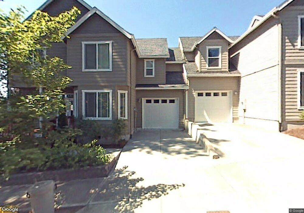
6009 SW 21st Ave Portland, OR 97239
Hillsdale NeighborhoodEstimated Value: $524,165 - $824,000
3
Beds
3
Baths
1,625
Sq Ft
$395/Sq Ft
Est. Value
About This Home
This home is located at 6009 SW 21st Ave, Portland, OR 97239 and is currently estimated at $641,291, approximately $394 per square foot. 6009 SW 21st Ave is a home located in Multnomah County with nearby schools including Rieke Elementary School, Robert Gray Middle School, and Ida B. Wells-Barnett High School.
Ownership History
Date
Name
Owned For
Owner Type
Purchase Details
Closed on
Oct 1, 2003
Sold by
Palumbo Dave
Bought by
Barker Jane M
Current Estimated Value
Home Financials for this Owner
Home Financials are based on the most recent Mortgage that was taken out on this home.
Original Mortgage
$160,000
Outstanding Balance
$74,122
Interest Rate
6.22%
Mortgage Type
Purchase Money Mortgage
Estimated Equity
$567,169
Create a Home Valuation Report for This Property
The Home Valuation Report is an in-depth analysis detailing your home's value as well as a comparison with similar homes in the area
Home Values in the Area
Average Home Value in this Area
Purchase History
| Date | Buyer | Sale Price | Title Company |
|---|---|---|---|
| Barker Jane M | $267,000 | Chicago Title Insurance Comp |
Source: Public Records
Mortgage History
| Date | Status | Borrower | Loan Amount |
|---|---|---|---|
| Open | Barker Jane M | $160,000 |
Source: Public Records
Tax History Compared to Growth
Tax History
| Year | Tax Paid | Tax Assessment Tax Assessment Total Assessment is a certain percentage of the fair market value that is determined by local assessors to be the total taxable value of land and additions on the property. | Land | Improvement |
|---|---|---|---|---|
| 2025 | $8,509 | $316,470 | -- | -- |
| 2024 | $8,213 | $307,260 | -- | -- |
| 2023 | $7,898 | $298,320 | $0 | $0 |
| 2022 | $7,727 | $289,640 | $0 | $0 |
| 2021 | $7,596 | $281,210 | $0 | $0 |
| 2020 | $6,968 | $273,020 | $0 | $0 |
| 2019 | $6,712 | $265,070 | $0 | $0 |
| 2018 | $6,514 | $257,350 | $0 | $0 |
| 2017 | $6,244 | $249,860 | $0 | $0 |
| 2016 | $5,714 | $242,590 | $0 | $0 |
| 2015 | $5,564 | $235,530 | $0 | $0 |
| 2014 | $5,176 | $228,670 | $0 | $0 |
Source: Public Records
Map
Nearby Homes
- 6008 SW 18th Dr
- 6020 SW 18th Dr
- 6026 SW 18th Dr
- 6022 SW 18th Dr
- 6028 SW 18th Dr
- 0 SW 25th Ave Unit 2 685565814
- 6220 SW Capitol Hwy Unit 8
- 6220 SW Capitol Hwy Unit 7
- 6835 SW Capitol Hill Rd Unit 30
- 6654 SW Capitol Hwy
- 0 SW Westwood Ct
- 6196 SW Capitol Hwy Unit 6196
- 2634 SW Mitchell Ct
- 1125 SW Westwood Ct
- 6254 SW Burlingame Ave Unit A
- 2818 SW Mitchell Ct
- 2119 SW Nevada Ct
- 6731 SW 11th Dr
- 4731 SW 18th Dr Unit A
- 6005 SW 33rd Place
- 6005 SW 21 Ave
- 2108 SW Dewitt St
- 2120 SW Dewitt St
- 2107 SW Iowa St
- 2121 SW Iowa St
- 6008 SW 21st Ave
- 2130 SW Dewitt St
- 2131 SW Iowa St
- 2017 SW Iowa St
- 2004 SW Dewitt St
- 2140 SW Dewitt St
- 2141 SW Iowa St
- 5927 SW 21st Ave
- 2117 SW Dewitt St
- 1939 SW Iowa St
- 2210 SW Dewitt St
- 2007 SW Dewitt St
- 1933 SW Iowa St
- 1918 SW Dewitt St
- 2104 SW Iowa St