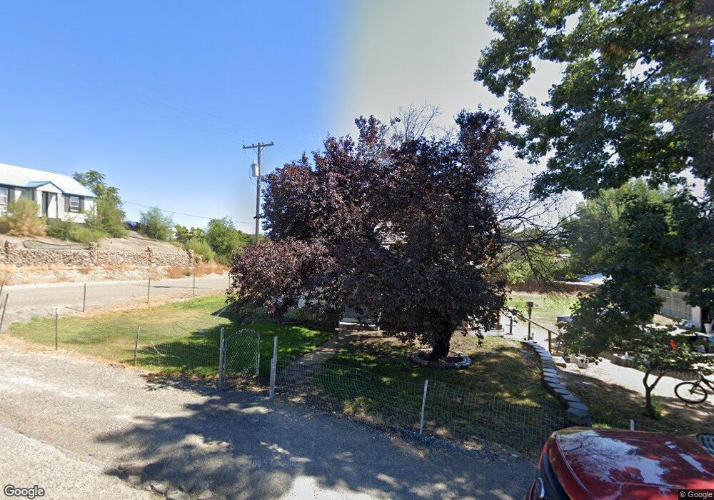
601 2nd St Adrian, OR 97901
Estimated Value: $135,387
2
Beds
1
Bath
680
Sq Ft
$199/Sq Ft
Est. Value
About This Home
This home is located at 601 2nd St, Adrian, OR 97901 and is currently estimated at $135,387, approximately $199 per square foot. 601 2nd St is a home with nearby schools including Adrian Elementary School and Adrian High School.
Ownership History
Date
Name
Owned For
Owner Type
Purchase Details
Closed on
Aug 9, 2017
Sold by
Hutchens Lauri M and Petersen Lauri M
Bought by
Delcampo Heraclio Martin
Current Estimated Value
Home Financials for this Owner
Home Financials are based on the most recent Mortgage that was taken out on this home.
Original Mortgage
$56,949
Outstanding Balance
$47,499
Interest Rate
4.12%
Mortgage Type
FHA
Estimated Equity
$87,888
Purchase Details
Closed on
Aug 26, 2005
Sold by
Congrove Richard and Congrove Judy
Bought by
Petersen Lauri M
Home Financials for this Owner
Home Financials are based on the most recent Mortgage that was taken out on this home.
Original Mortgage
$57,486
Interest Rate
5.64%
Mortgage Type
Purchase Money Mortgage
Create a Home Valuation Report for This Property
The Home Valuation Report is an in-depth analysis detailing your home's value as well as a comparison with similar homes in the area
Purchase History
| Date | Buyer | Sale Price | Title Company |
|---|---|---|---|
| Delcampo Heraclio Martin | $58,000 | Amerititle | |
| Petersen Lauri M | $58,000 | -- |
Source: Public Records
Mortgage History
| Date | Status | Borrower | Loan Amount |
|---|---|---|---|
| Open | Delcampo Heraclio Martin | $56,949 | |
| Previous Owner | Petersen Lauri M | $57,486 |
Source: Public Records
Tax History
| Year | Tax Paid | Tax Assessment Tax Assessment Total Assessment is a certain percentage of the fair market value that is determined by local assessors to be the total taxable value of land and additions on the property. | Land | Improvement |
|---|---|---|---|---|
| 2025 | $450 | $31,163 | $11,178 | $19,985 |
| 2024 | $455 | $30,256 | $10,853 | $19,403 |
| 2023 | $426 | $29,375 | $12,366 | $17,009 |
| 2022 | $419 | $28,520 | $11,870 | $16,650 |
| 2021 | $432 | $27,690 | $12,767 | $14,923 |
| 2020 | $422 | $26,884 | $12,395 | $14,489 |
| 2019 | $417 | $26,101 | $11,634 | $14,467 |
| 2018 | $410 | $25,341 | $11,295 | $14,046 |
| 2017 | $373 | $24,603 | $10,966 | $13,637 |
| 2016 | $381 | $23,887 | $10,942 | $12,945 |
| 2015 | $366 | $23,192 | $10,623 | $12,569 |
| 2014 | $356 | $22,517 | $10,877 | $11,640 |
Source: Public Records
Map
Nearby Homes
- 887 Overstreet Rd
- 646 Overstreet Rd
- Lot 2B Clydesdale Ln
- 933 Overstreet Rd
- Lot 3B Drum Ln
- Lot 5A Drum Ln
- 26635 Pioneer Ln
- 4.8acTBD Chips Ln
- 26915 Chips Ln
- 830 Snively Gulch Rd
- TBD Snively Gulch Rd
- TBD Monte Rd
- 24013 Arena Valley Rd
- TBD Kygar Rd
- 2555 Jefferson Dr
- 30327 Hexon Rd
- 28754 Idaho 18
- 0 Tbd Stephen Ln
- 23743 Stephen Ln
- 1964 River Rd
Your Personal Tour Guide
Ask me questions while you tour the home.