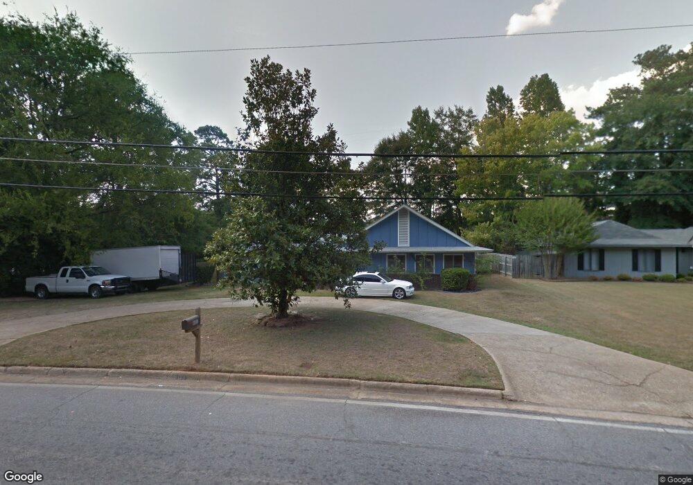
601 54th St Columbus, GA 31904
North Columbus NeighborhoodEstimated Value: $172,000 - $240,000
3
Beds
3
Baths
2,040
Sq Ft
$105/Sq Ft
Est. Value
About This Home
This home is located at 601 54th St, Columbus, GA 31904 and is currently estimated at $213,230, approximately $104 per square foot. 601 54th St is a home located in Muscogee County with nearby schools including River Road Elementary School, Arnold Middle School, and Jordan Vocational High School.
Ownership History
Date
Name
Owned For
Owner Type
Purchase Details
Closed on
Mar 24, 2014
Sold by
Larue Clarence
Bought by
Adams Franklin L and Adams Phyllis A
Current Estimated Value
Home Financials for this Owner
Home Financials are based on the most recent Mortgage that was taken out on this home.
Original Mortgage
$68,000
Outstanding Balance
$51,581
Interest Rate
4.36%
Mortgage Type
New Conventional
Estimated Equity
$161,649
Create a Home Valuation Report for This Property
The Home Valuation Report is an in-depth analysis detailing your home's value as well as a comparison with similar homes in the area
Home Values in the Area
Average Home Value in this Area
Purchase History
| Date | Buyer | Sale Price | Title Company |
|---|---|---|---|
| Adams Franklin L | $85,000 | -- |
Source: Public Records
Mortgage History
| Date | Status | Borrower | Loan Amount |
|---|---|---|---|
| Open | Adams Franklin L | $68,000 |
Source: Public Records
Tax History
| Year | Tax Paid | Tax Assessment Tax Assessment Total Assessment is a certain percentage of the fair market value that is determined by local assessors to be the total taxable value of land and additions on the property. | Land | Improvement |
|---|---|---|---|---|
| 2025 | $2,612 | $66,724 | $13,684 | $53,040 |
| 2024 | $2,612 | $66,724 | $13,684 | $53,040 |
| 2023 | $2,628 | $66,724 | $13,684 | $53,040 |
| 2022 | $2,036 | $49,868 | $10,280 | $39,588 |
| 2021 | $2,064 | $50,544 | $10,280 | $40,264 |
| 2020 | $2,064 | $50,544 | $10,280 | $40,264 |
| 2019 | $2,071 | $50,544 | $10,280 | $40,264 |
| 2018 | $2,071 | $50,544 | $10,280 | $40,264 |
| 2017 | $2,077 | $50,544 | $10,280 | $40,264 |
| 2016 | $2,387 | $57,876 | $4,485 | $53,391 |
| 2015 | $1,404 | $34,000 | $4,485 | $29,515 |
| 2014 | $1,638 | $39,604 | $4,485 | $35,119 |
| 2013 | -- | $39,604 | $4,485 | $35,119 |
Source: Public Records
Map
Nearby Homes
- 217 Moss Dr
- 804 Lichfield Rd
- 803 Litchfield Rd
- 831 53rd St
- 5472 Roaring Branch Rd
- 5431 Roaring Branch Rd
- 801 50th St
- 411 49th St
- 222 Cascade Rd
- 1021 53rd St
- 254 Cascade Rd
- 1037 53rd St
- 306 Cascade Rd
- 5010 Trussell Ave
- 258 Cascade Rd
- 212 47th St
- 5602 Morris Ave
- 403 46th St
- 5106 Kolb Ave
- 5131 11th Ave
Your Personal Tour Guide
Ask me questions while you tour the home.