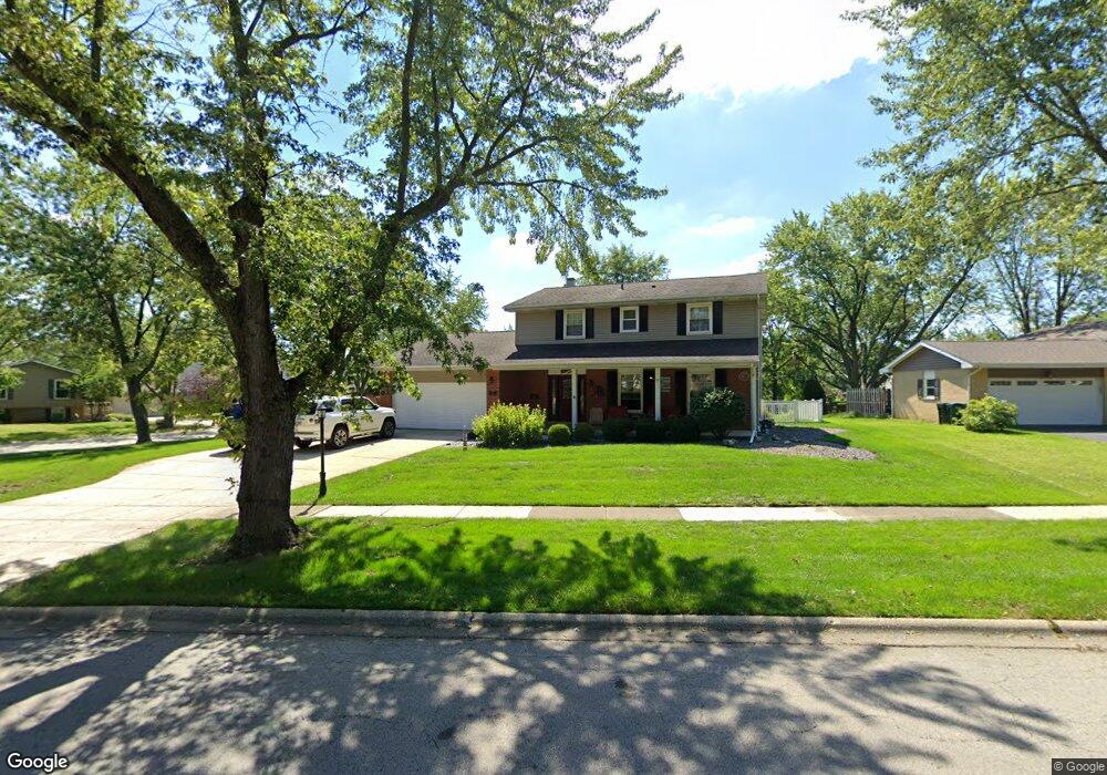
601 69th St Darien, IL 60561
Estimated Value: $496,000 - $574,000
Studio
1
Bath
2,276
Sq Ft
$237/Sq Ft
Est. Value
About This Home
This home is located at 601 69th St, Darien, IL 60561 and is currently estimated at $538,771, approximately $236 per square foot. 601 69th St is a home located in DuPage County with nearby schools including Mark Delay School, Lace Elementary School, and Eisenhower Jr High School.
Ownership History
Date
Name
Owned For
Owner Type
Purchase Details
Closed on
May 22, 2023
Sold by
Odonnell Michael J and Odonnell Karen L
Bought by
Karen L Odonnell 2023 Living Trust and Odonnell
Current Estimated Value
Purchase Details
Closed on
Sep 20, 2001
Sold by
Westrom Barbara
Bought by
Odonnell Michael J and Odonnell Karen L
Home Financials for this Owner
Home Financials are based on the most recent Mortgage that was taken out on this home.
Original Mortgage
$232,000
Interest Rate
6.5%
Create a Home Valuation Report for This Property
The Home Valuation Report is an in-depth analysis detailing your home's value as well as a comparison with similar homes in the area
Home Values in the Area
Average Home Value in this Area
Purchase History
| Date | Buyer | Sale Price | Title Company |
|---|---|---|---|
| Karen L Odonnell 2023 Living Trust | -- | None Listed On Document | |
| Odonnell Michael J | $290,000 | -- |
Source: Public Records
Mortgage History
| Date | Status | Borrower | Loan Amount |
|---|---|---|---|
| Previous Owner | Odonnell Michael J | $232,000 |
Source: Public Records
Tax History
| Year | Tax Paid | Tax Assessment Tax Assessment Total Assessment is a certain percentage of the fair market value that is determined by local assessors to be the total taxable value of land and additions on the property. | Land | Improvement |
|---|---|---|---|---|
| 2024 | $10,727 | $174,494 | $56,250 | $118,244 |
| 2023 | $10,344 | $160,410 | $51,710 | $108,700 |
| 2022 | $8,874 | $138,560 | $50,650 | $87,910 |
| 2021 | $8,537 | $136,980 | $50,070 | $86,910 |
| 2020 | $9,121 | $144,890 | $49,080 | $95,810 |
| 2019 | $9,289 | $146,080 | $47,090 | $98,990 |
| 2018 | $8,679 | $137,930 | $46,860 | $91,070 |
| 2017 | $8,597 | $132,720 | $45,090 | $87,630 |
| 2016 | $8,240 | $126,660 | $43,030 | $83,630 |
| 2015 | $8,129 | $119,160 | $40,480 | $78,680 |
| 2014 | $7,692 | $111,530 | $39,360 | $72,170 |
| 2013 | $7,436 | $111,010 | $39,180 | $71,830 |
Source: Public Records
Map
Nearby Homes
- 401 69th St
- 6925 Clarendon Hills Rd
- 6136 Bentley Ave
- 6648 Weather Hill Dr
- 318 Arabian Cir
- 321 Janet Ave
- 301 Lake Hinsdale Dr Unit 108
- 301 Lake Hinsdale Dr Unit 404
- 1013 Torrey Pines Ct
- 6503 Clarendon Hills Rd
- 601 Lake Hinsdale Dr Unit 101
- 601 Lake Hinsdale Dr Unit 112
- 701 Lake Hinsdale Dr Unit 306
- 1156 Bristlecone Ct
- 101 Lake Hinsdale Dr Unit 205
- 19 Portwine Rd
- 335 63rd St
- 6340 Americana Dr Unit 904
- 6340 Americana Dr Unit 701
- 7525 Nantucket Dr Unit 210
Your Personal Tour Guide
Ask me questions while you tour the home.