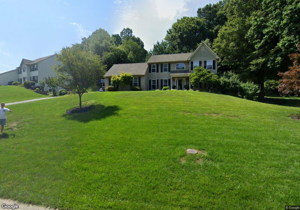
601 Appleton Ct Kennett Square, PA 19348
Estimated Value: $633,000 - $777,000
4
Beds
3
Baths
2,431
Sq Ft
$278/Sq Ft
Est. Value
About This Home
This home is located at 601 Appleton Ct, Kennett Square, PA 19348 and is currently estimated at $675,438, approximately $277 per square foot. 601 Appleton Ct is a home located in Chester County with nearby schools including Kennett Middle School, Kennett High School, and Avon Grove Charter School.
Ownership History
Date
Name
Owned For
Owner Type
Purchase Details
Closed on
Aug 26, 1997
Sold by
The Bancroft Woods Company
Bought by
Oakes Robert F and Oakes Jennifer M
Current Estimated Value
Home Financials for this Owner
Home Financials are based on the most recent Mortgage that was taken out on this home.
Original Mortgage
$202,814
Outstanding Balance
$31,265
Interest Rate
7.41%
Mortgage Type
VA
Estimated Equity
$644,173
Create a Home Valuation Report for This Property
The Home Valuation Report is an in-depth analysis detailing your home's value as well as a comparison with similar homes in the area
Home Values in the Area
Average Home Value in this Area
Purchase History
| Date | Buyer | Sale Price | Title Company |
|---|---|---|---|
| Oakes Robert F | $198,864 | -- |
Source: Public Records
Mortgage History
| Date | Status | Borrower | Loan Amount |
|---|---|---|---|
| Open | Oakes Robert F | $202,814 |
Source: Public Records
Tax History
| Year | Tax Paid | Tax Assessment Tax Assessment Total Assessment is a certain percentage of the fair market value that is determined by local assessors to be the total taxable value of land and additions on the property. | Land | Improvement |
|---|---|---|---|---|
| 2025 | $8,381 | $209,280 | $35,370 | $173,910 |
| 2024 | $8,381 | $209,280 | $35,370 | $173,910 |
| 2023 | $8,101 | $209,280 | $35,370 | $173,910 |
| 2022 | $7,982 | $209,280 | $35,370 | $173,910 |
| 2021 | $7,902 | $209,280 | $35,370 | $173,910 |
| 2020 | $7,751 | $209,280 | $35,370 | $173,910 |
| 2019 | $7,646 | $209,280 | $35,370 | $173,910 |
| 2018 | $7,527 | $209,280 | $35,370 | $173,910 |
| 2017 | $7,373 | $209,280 | $35,370 | $173,910 |
| 2016 | $830 | $209,280 | $35,370 | $173,910 |
| 2015 | $830 | $209,280 | $35,370 | $173,910 |
| 2014 | $830 | $209,280 | $35,370 | $173,910 |
Source: Public Records
Map
Nearby Homes
- 225 Kestrel Ct
- 13 Tullow Hill Dr
- 131 Foragers Ln
- 103 Foragers Ln
- 235 Kestrel Ct
- 11 Tullow Hill Dr
- 15 Tullow Hill Dr
- 130 Foragers Ln
- 140 Foragers Ln
- 9 Tullow Hill Dr
- 138 Foragers Ln
- 5 Tullow Hill Dr
- 128 Foragers Ln
- 156 Bancroft Rd Unit CARLTON
- 156 Bancroft Rd Unit SUTTON
- 156 Bancroft Rd Unit SGR
- 156 Bancroft Rd Unit CARLTON GRND
- 256 Line Rd
- 159 Penns Manor Dr
- 491 N Mill Rd
- 605 Appleton Ct
- 512 Oakland Ct
- 285 Appleton Ct
- 508 Oakland Ct
- 600 Appleton Ct
- 280 Appleton Ct
- 609 Appleton Ct
- 604 Appleton Ct
- 513 Oakland Ct
- 275 Crestview Dr
- 504 Oakland Ct
- 608 Appleton Ct
- 270 Crestview Dr
- 305 Crestview Dr
- 613 Appleton Ct
- 507 Oakland Ct
- 612 Appleton Ct
- 330 Hillside Ln
- 326 Hillside Ln
- 255 Crestview Dr
Your Personal Tour Guide
Ask me questions while you tour the home.