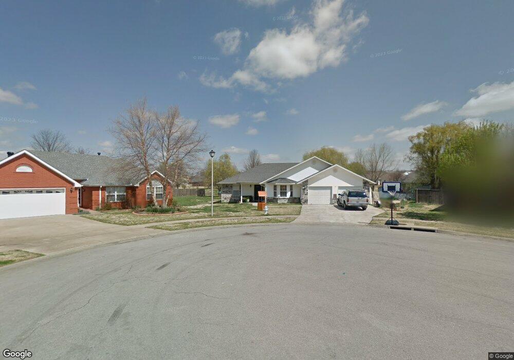
601 Aspen Place Prairie Grove, AR 72753
Estimated Value: $296,201 - $339,000
3
Beds
2
Baths
1,890
Sq Ft
$169/Sq Ft
Est. Value
About This Home
This home is located at 601 Aspen Place, Prairie Grove, AR 72753 and is currently estimated at $320,300, approximately $169 per square foot. 601 Aspen Place is a home located in Washington County with nearby schools including Prairie Grove Elementary School, Prairie Grove Middle School, and Prairie Grove Junior High School.
Ownership History
Date
Name
Owned For
Owner Type
Purchase Details
Closed on
Aug 24, 2011
Sold by
Dasl Investments Llc
Bought by
Dwight A Bartholomew Revocable Trust
Current Estimated Value
Purchase Details
Closed on
Dec 8, 1997
Bought by
Martin Eric
Purchase Details
Closed on
Oct 10, 1996
Bought by
Mcdonald Jerry and Mcdonald Carolyn
Purchase Details
Closed on
Jan 1, 1994
Bought by
D D & B, Inc.
Create a Home Valuation Report for This Property
The Home Valuation Report is an in-depth analysis detailing your home's value as well as a comparison with similar homes in the area
Home Values in the Area
Average Home Value in this Area
Purchase History
| Date | Buyer | Sale Price | Title Company |
|---|---|---|---|
| Dwight A Bartholomew Revocable Trust | -- | None Available | |
| Martin Eric | $85,000 | -- | |
| Mcdonald Jerry | $15,000 | -- | |
| D D & B, Inc. | -- | -- |
Source: Public Records
Tax History Compared to Growth
Tax History
| Year | Tax Paid | Tax Assessment Tax Assessment Total Assessment is a certain percentage of the fair market value that is determined by local assessors to be the total taxable value of land and additions on the property. | Land | Improvement |
|---|---|---|---|---|
| 2025 | $2,208 | $51,450 | $8,000 | $43,450 |
| 2024 | $2,073 | $51,450 | $8,000 | $43,450 |
| 2023 | $1,978 | $51,450 | $8,000 | $43,450 |
| 2022 | $1,751 | $32,810 | $6,000 | $26,810 |
| 2021 | $1,617 | $32,810 | $6,000 | $26,810 |
| 2020 | $1,477 | $32,810 | $6,000 | $26,810 |
| 2019 | $1,357 | $24,950 | $5,000 | $19,950 |
| 2018 | $1,357 | $24,950 | $5,000 | $19,950 |
| 2017 | $1,345 | $24,950 | $5,000 | $19,950 |
| 2016 | $1,345 | $24,950 | $5,000 | $19,950 |
| 2015 | $1,345 | $24,950 | $5,000 | $19,950 |
| 2014 | $1,412 | $26,190 | $5,000 | $21,190 |
Source: Public Records
Map
Nearby Homes
- 110 Cypress St
- 703 Grant Ave
- 806 Grant Ave
- 111 W Cleveland St
- 813 Grant Ave
- 807 Sedgwick Dr
- 818 Grant Ave
- 661 Summer Ln
- 815 Custer St
- 816 Custer St
- 0 S Industrial Park Rd
- 4.66 +/- AC Tract 5 Hwy 62 & S Mock St
- 601 Pennington Ave
- Lot 2 Holmes St
- 201 E Cleveland St
- 301 Hindman Dr
- TBD Kate Smith St
- 311 S Mock St
- 211 Boston St
- 950 Snyder Grove Dr
- 600 Aspen Place
- 603 Aspen Place
- 509 Westwood Ave
- 607 Westwood Ave
- 602 Aspen Place
- 605 Aspen Place
- 507 Westwood Ave
- 0 Westwood Ave
- 609 Westwood Ave
- 604 Aspen Place
- 613 Westwood Ave
- 701 Westwood Ave
- 616 Aspen Place
- 510 Westwood Ave
- 508 Westwood Ave
- 703 Westwood Ave
- 607 Aspen Place
- 606 Westwood Ave
- 503 Westwood Ave
- 618 Aspen Place