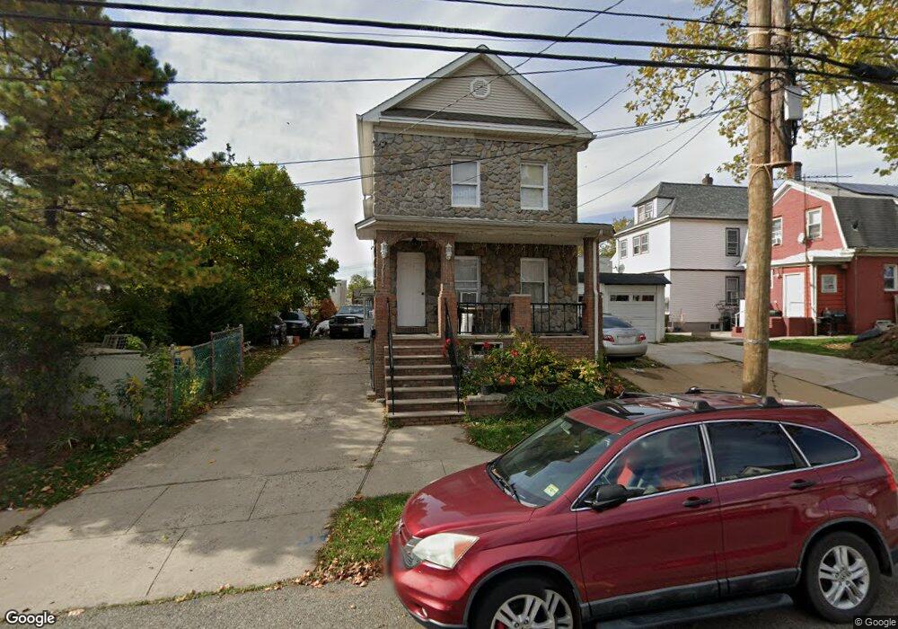
601 Atlantic Ave Perth Amboy, NJ 08861
Amboy Avenue NeighborhoodEstimated Value: $352,000 - $473,000
--
Bed
--
Bath
1,470
Sq Ft
$296/Sq Ft
Est. Value
About This Home
This home is located at 601 Atlantic Ave, Perth Amboy, NJ 08861 and is currently estimated at $435,101, approximately $295 per square foot. 601 Atlantic Ave is a home located in Middlesex County with nearby schools including Perth Amboy High School, Academy for Urban Leadership Charter School, and Assumption Catholic School.
Ownership History
Date
Name
Owned For
Owner Type
Purchase Details
Closed on
Mar 19, 2008
Sold by
Pryszcz Wieslaw and Pryszcz Zbigniew
Bought by
Pryszcz Wieslaw
Current Estimated Value
Purchase Details
Closed on
May 30, 2001
Sold by
Ingomar Lp
Bought by
Pryszcz Wieslaw
Purchase Details
Closed on
Apr 10, 1996
Sold by
Stoma Marion
Bought by
Pryszcz Wieslaw and Pryszcz Zbigniew
Home Financials for this Owner
Home Financials are based on the most recent Mortgage that was taken out on this home.
Original Mortgage
$50,000
Interest Rate
7.81%
Create a Home Valuation Report for This Property
The Home Valuation Report is an in-depth analysis detailing your home's value as well as a comparison with similar homes in the area
Home Values in the Area
Average Home Value in this Area
Purchase History
| Date | Buyer | Sale Price | Title Company |
|---|---|---|---|
| Pryszcz Wieslaw | -- | -- | |
| Pryszcz Wieslaw | $95,500 | -- | |
| Pryszcz Wieslaw | $95,500 | -- | |
| Pryszcz Wieslaw | $62,500 | -- |
Source: Public Records
Mortgage History
| Date | Status | Borrower | Loan Amount |
|---|---|---|---|
| Previous Owner | Pryszcz Wieslaw | $50,000 |
Source: Public Records
Tax History Compared to Growth
Tax History
| Year | Tax Paid | Tax Assessment Tax Assessment Total Assessment is a certain percentage of the fair market value that is determined by local assessors to be the total taxable value of land and additions on the property. | Land | Improvement |
|---|---|---|---|---|
| 2025 | $7,630 | $252,900 | $123,000 | $129,900 |
| 2024 | $7,615 | $252,900 | $123,000 | $129,900 |
| 2023 | $7,615 | $252,900 | $123,000 | $129,900 |
| 2022 | $7,524 | $252,900 | $123,000 | $129,900 |
| 2021 | $7,534 | $252,900 | $123,000 | $129,900 |
| 2020 | $7,531 | $252,900 | $123,000 | $129,900 |
| 2019 | $7,559 | $252,900 | $123,000 | $129,900 |
| 2018 | $7,493 | $252,900 | $123,000 | $129,900 |
| 2017 | $7,478 | $252,900 | $123,000 | $129,900 |
| 2016 | $7,284 | $252,900 | $123,000 | $129,900 |
| 2015 | $7,334 | $252,900 | $123,000 | $129,900 |
| 2014 | $7,380 | $252,900 | $123,000 | $129,900 |
Source: Public Records
Map
Nearby Homes
- 459 Brace Ave
- 649 Cornell St
- 485 Compton Ave
- 438 Lawrie St
- 461 Lawrie St
- 689 Mary St
- 552 Compton Ave
- 559 Compton Ave
- 720 Donald Ave
- 448 Baker Place
- 359 Neville St
- 424 Steadman Place
- 617 Lee St
- 744 Donald Ave
- 397 Washington St
- 752 Donald Ave
- 646 Johnstone St
- 522 Johnstone St
- 676 Johnstone St
- 693 Hanson Ave