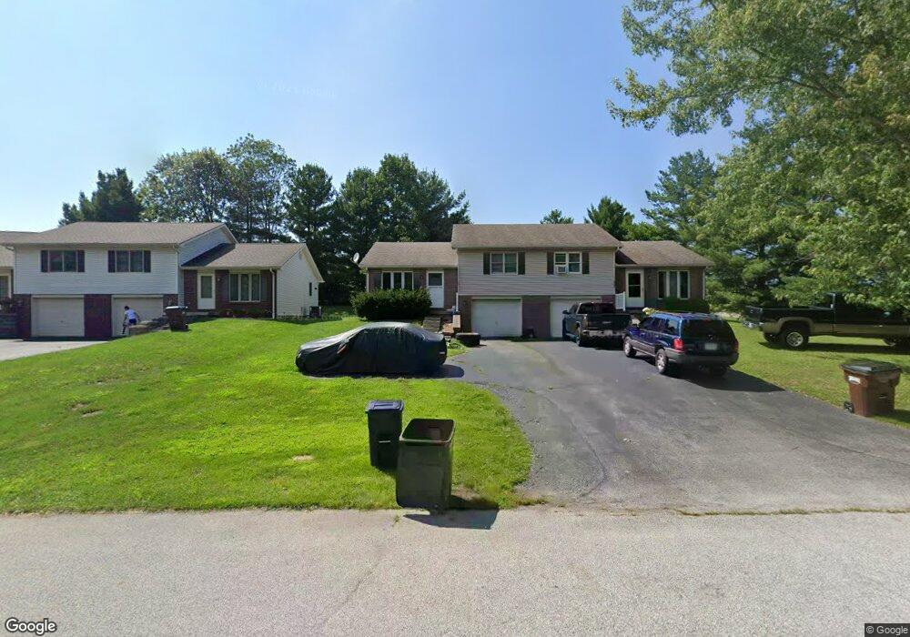
601 Barlow Dr Unit 603 North Vernon, IN 47265
Estimated Value: $248,000 - $267,000
3
Beds
2
Baths
2,308
Sq Ft
$112/Sq Ft
Est. Value
About This Home
This home is located at 601 Barlow Dr Unit 603, North Vernon, IN 47265 and is currently estimated at $257,667, approximately $111 per square foot. 601 Barlow Dr Unit 603 is a home located in Jennings County with nearby schools including North Vernon Elementary School, Jennings County Middle School, and Jennings County High School.
Ownership History
Date
Name
Owned For
Owner Type
Purchase Details
Closed on
Feb 1, 2021
Sold by
Hicks Gregory S and Hicks Nita N
Bought by
Lewis Nathan and Lewis Sonya
Current Estimated Value
Home Financials for this Owner
Home Financials are based on the most recent Mortgage that was taken out on this home.
Original Mortgage
$360,000
Outstanding Balance
$293,579
Interest Rate
2.67%
Mortgage Type
Future Advance Clause Open End Mortgage
Estimated Equity
-$35,912
Purchase Details
Closed on
Jan 14, 2003
Sold by
Barlow Michael S
Bought by
Hicks Gregory S and Hicks Nita N
Create a Home Valuation Report for This Property
The Home Valuation Report is an in-depth analysis detailing your home's value as well as a comparison with similar homes in the area
Home Values in the Area
Average Home Value in this Area
Purchase History
| Date | Buyer | Sale Price | Title Company |
|---|---|---|---|
| Lewis Nathan | -- | None Available | |
| Hicks Gregory S | $135,000 | -- |
Source: Public Records
Mortgage History
| Date | Status | Borrower | Loan Amount |
|---|---|---|---|
| Open | Lewis Nathan | $360,000 |
Source: Public Records
Tax History Compared to Growth
Tax History
| Year | Tax Paid | Tax Assessment Tax Assessment Total Assessment is a certain percentage of the fair market value that is determined by local assessors to be the total taxable value of land and additions on the property. | Land | Improvement |
|---|---|---|---|---|
| 2024 | $2,206 | $110,300 | $14,000 | $96,300 |
| 2023 | $2,238 | $111,900 | $14,000 | $97,900 |
| 2022 | $2,114 | $105,700 | $14,000 | $91,700 |
| 2021 | $1,888 | $94,400 | $14,000 | $80,400 |
| 2020 | $2,530 | $126,500 | $14,000 | $112,500 |
| 2019 | $2,472 | $123,600 | $14,000 | $109,600 |
| 2018 | $2,332 | $116,600 | $14,000 | $102,600 |
| 2017 | $2,308 | $115,400 | $14,000 | $101,400 |
| 2016 | $2,308 | $115,400 | $14,000 | $101,400 |
| 2014 | $2,358 | $117,900 | $14,000 | $103,900 |
Source: Public Records
Map
Nearby Homes
- 295 Persimmon Dr
- 85 N County Road 205 W
- 1785 W Brownstown Rd
- 333 Oakridge Dr
- 1905 W Brownstown Rd
- 46 Noon Dr
- 1675 Twin Oaks Dr
- 208 South St
- 0 W Walnut St Unit MBR22050857
- 310 Tiffany Ln
- 82 Norris Ave
- 210 Norris Ave
- 245 S County Road 150 W
- 174 E Norris Heights
- 10 Hicks St
- 950 W Base Rd
- 215 S Gum St
- 52 W Poplar St
- 62 Brookside Dr
- 604 N Elm St
- 591 Barlow Dr Unit 593
- 604 Daniel Dr
- 602 Barlow Dr
- 581 Barlow Dr Unit 583
- 574 Daniel Dr
- 590 Barlow Dr Unit 592
- 561 Barlow Dr Unit 563
- 570 Barlow Dr Unit 572
- 558 Daniel Dr
- 585 Daniel Dr
- 560 Barlow Dr Unit 562
- 551 Barlow Dr Unit 553
- 575 Daniel Dr
- 544 Daniel Dr
- 546 Stewart Ct
- 540 & 542 Barlow Dr
- 557 Daniel Dr