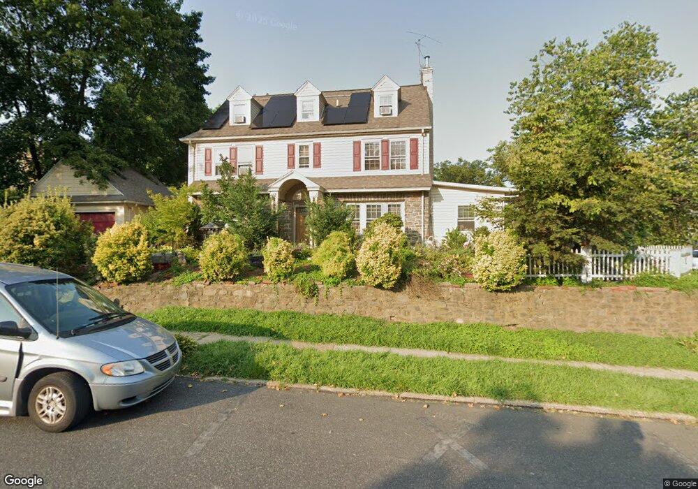
601 Beverly Blvd Upper Darby, PA 19082
Estimated Value: $390,560 - $446,000
5
Beds
2
Baths
2,620
Sq Ft
$160/Sq Ft
Est. Value
About This Home
This home is located at 601 Beverly Blvd, Upper Darby, PA 19082 and is currently estimated at $418,890, approximately $159 per square foot. 601 Beverly Blvd is a home located in Delaware County with nearby schools including Drexel Hill Middle School, Upper Darby High School, and St. Laurence's School.
Ownership History
Date
Name
Owned For
Owner Type
Purchase Details
Closed on
Jan 27, 2003
Sold by
Finnerty John and Oshtry Joel E
Bought by
Thelisma Marise St Fort and Thelisma Jean L
Current Estimated Value
Home Financials for this Owner
Home Financials are based on the most recent Mortgage that was taken out on this home.
Original Mortgage
$196,650
Outstanding Balance
$84,466
Interest Rate
5.99%
Mortgage Type
Purchase Money Mortgage
Estimated Equity
$334,424
Create a Home Valuation Report for This Property
The Home Valuation Report is an in-depth analysis detailing your home's value as well as a comparison with similar homes in the area
Home Values in the Area
Average Home Value in this Area
Purchase History
| Date | Buyer | Sale Price | Title Company |
|---|---|---|---|
| Thelisma Marise St Fort | $208,000 | Commonwealth Land Title Ins |
Source: Public Records
Mortgage History
| Date | Status | Borrower | Loan Amount |
|---|---|---|---|
| Open | Thelisma Marise St Fort | $196,650 |
Source: Public Records
Tax History Compared to Growth
Tax History
| Year | Tax Paid | Tax Assessment Tax Assessment Total Assessment is a certain percentage of the fair market value that is determined by local assessors to be the total taxable value of land and additions on the property. | Land | Improvement |
|---|---|---|---|---|
| 2025 | $7,410 | $175,220 | $39,620 | $135,600 |
| 2024 | $7,410 | $175,220 | $39,620 | $135,600 |
| 2023 | $7,340 | $175,220 | $39,620 | $135,600 |
| 2022 | $7,143 | $175,220 | $39,620 | $135,600 |
| 2021 | $9,632 | $175,220 | $39,620 | $135,600 |
| 2020 | $7,509 | $116,080 | $35,920 | $80,160 |
| 2019 | $7,377 | $116,080 | $35,920 | $80,160 |
| 2018 | $7,292 | $116,080 | $0 | $0 |
| 2017 | $7,102 | $116,080 | $0 | $0 |
| 2016 | $637 | $116,080 | $0 | $0 |
| 2015 | $637 | $116,080 | $0 | $0 |
| 2014 | $637 | $116,080 | $0 | $0 |
Source: Public Records
Map
Nearby Homes
- 1434 Bywood Ave
- 7226 Penarth Ave
- 7819 Westview Ave
- 7011 Hazel Ave
- 7823 Arlington Ave
- 1806 Garrett Rd
- 362 Margate Rd
- 345 Wayne Ave
- 341 Congress Ave
- 241 S Cedar Ln
- 367 Margate Rd
- 318 Margate Rd
- 7920 W Chester Pike
- 46 S State Rd
- 11 S Cedar Ln
- 207 Berbro Ave
- 312 Bayard Rd
- 8125 W Chester Pike Unit A4
- 7409 Miller Ave
- 25 N Pennock Ave
- 1607 S Keystone Ave
- 145 Woodlawn Ave
- 1603 S Keystone Ave
- 605 Beverly Blvd
- 600 Beverly Blvd
- 604 Beverly Blvd
- 1601 S Keystone Ave
- 1600 S Keystone Ave
- 141 Woodlawn Ave
- 558 Beverly Blvd
- 553 Beverly Blvd
- 606 Beverly Blvd
- 0 Beverly Blvd
- 150 Woodlawn Ave
- 554 Beverly Blvd
- 550 Netherwood Rd
- 1511 S Keystone Ave
- 631 Ridgewood Rd
- 137 Woodlawn Ave
- 608 Beverly Blvd