601 Bill Ferguson Rd Bowling Green, KY 42101
Estimated Value: $487,000 - $2,075,465
4
Beds
4
Baths
5,324
Sq Ft
$241/Sq Ft
Est. Value
About This Home
This home is located at 601 Bill Ferguson Rd, Bowling Green, KY 42101 and is currently estimated at $1,281,233, approximately $240 per square foot. 601 Bill Ferguson Rd is a home with nearby schools including Richardsville Elementary School, Warren East Middle School, and Warren East High School.
Ownership History
Date
Name
Owned For
Owner Type
Purchase Details
Closed on
Mar 11, 2021
Sold by
Reynolds Charles Michael and Reynolds Charles H
Bought by
Reynolds Robert Kennan and Reynolds Jackie
Current Estimated Value
Home Financials for this Owner
Home Financials are based on the most recent Mortgage that was taken out on this home.
Original Mortgage
$500,000
Outstanding Balance
$448,215
Interest Rate
2.7%
Mortgage Type
Commercial
Estimated Equity
$833,018
Create a Home Valuation Report for This Property
The Home Valuation Report is an in-depth analysis detailing your home's value as well as a comparison with similar homes in the area
Home Values in the Area
Average Home Value in this Area
Purchase History
| Date | Buyer | Sale Price | Title Company |
|---|---|---|---|
| Reynolds Robert Kennan | $670,000 | None Available |
Source: Public Records
Mortgage History
| Date | Status | Borrower | Loan Amount |
|---|---|---|---|
| Open | Reynolds Robert Kennan | $500,000 |
Source: Public Records
Tax History Compared to Growth
Tax History
| Year | Tax Paid | Tax Assessment Tax Assessment Total Assessment is a certain percentage of the fair market value that is determined by local assessors to be the total taxable value of land and additions on the property. | Land | Improvement |
|---|---|---|---|---|
| 2024 | $12,225 | $1,660,000 | $0 | $0 |
| 2023 | $12,325 | $1,431,320 | $0 | $0 |
| 2022 | $11,490 | $1,428,930 | $0 | $0 |
| 2021 | $11,447 | $1,660,000 | $0 | $0 |
| 2020 | $11,144 | $1,517,500 | $0 | $0 |
| 2019 | $11,099 | $1,517,500 | $0 | $0 |
| 2018 | $11,046 | $1,517,500 | $0 | $0 |
| 2017 | $10,964 | $1,383,630 | $0 | $0 |
| 2015 | $10,716 | $1,379,670 | $0 | $0 |
| 2014 | $10,551 | $1,379,670 | $0 | $0 |
Source: Public Records
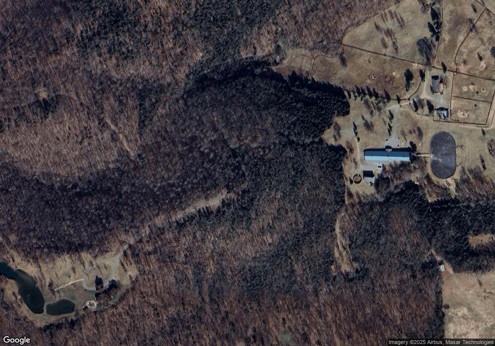
Map
Nearby Homes
- 146 Maria Dr
- 232 N Campbell Rd
- 805 Witt Rd
- 233 Apple Valley Rd
- 651 Allen Michael Ln
- 660 Allen Michael Ct
- 748 Slim Island Rd
- 2111 Sugarwood Dr
- 4362 Girkin Woods Way
- 305 Slim Island Rd
- 3054 Gunsmoke Trail Way
- 2772 Cedrus Ave
- 3225 Meadowview Ave
- 2730 Cedrus Ave
- 2351 Garrett Hollow Rd
- 3125 Meadowview Ave
- 2688 Cedrus Ave
- 2697 Cedrus Ave
- 2344 Garrett Hollow Rd
- 2682 Cedrus Ave
- 224 Maria Dr
- 616 Detour Rd
- 245 Maria Dr
- 738 Northview Ct
- 744 Northview Ct
- 732 Northview Ct
- 726 Northview Ct
- 600 Bill Ferguson Rd
- 708 Northview Ct
- 4340 Ky Highway 185
- 741 Northview Ct
- 4300 Ky Highway 185
- 717 Northview Ct
- 717 Northview Ct Unit Lot 13 Northview Far
- 723 Northview Ct
- 711 Northview Ct
- 4440 Ky Highway 185
- 729 Northview Ct
- 705 Northview Ct
- 735 Northview Ct