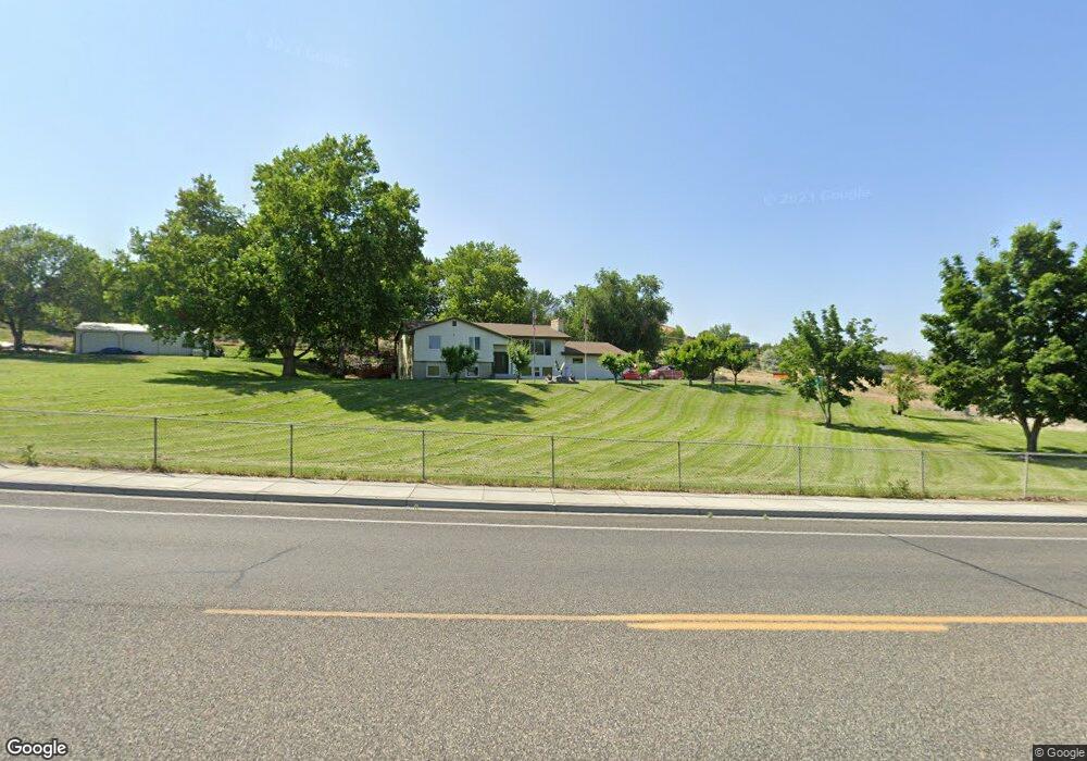
601 Bombing Range Rd West Richland, WA 99353
Estimated Value: $550,000 - $889,000
3
Beds
2
Baths
2,796
Sq Ft
$238/Sq Ft
Est. Value
About This Home
This home is located at 601 Bombing Range Rd, West Richland, WA 99353 and is currently estimated at $665,345, approximately $237 per square foot. 601 Bombing Range Rd is a home located in Benton County with nearby schools including Tapteal Elementary School, Hanford High School, and Liberty Christian School of the Tri-Cities.
Ownership History
Date
Name
Owned For
Owner Type
Purchase Details
Closed on
Jul 2, 2007
Sold by
Mechell Theresa
Bought by
Mechell Theresa and Mechell Randall
Current Estimated Value
Home Financials for this Owner
Home Financials are based on the most recent Mortgage that was taken out on this home.
Original Mortgage
$186,750
Outstanding Balance
$115,869
Interest Rate
6.36%
Mortgage Type
Stand Alone Refi Refinance Of Original Loan
Estimated Equity
$549,476
Purchase Details
Closed on
Apr 20, 2005
Sold by
Brown Gail A
Bought by
Mechell Theresa
Home Financials for this Owner
Home Financials are based on the most recent Mortgage that was taken out on this home.
Original Mortgage
$169,200
Interest Rate
5.92%
Mortgage Type
Fannie Mae Freddie Mac
Create a Home Valuation Report for This Property
The Home Valuation Report is an in-depth analysis detailing your home's value as well as a comparison with similar homes in the area
Home Values in the Area
Average Home Value in this Area
Purchase History
| Date | Buyer | Sale Price | Title Company |
|---|---|---|---|
| Mechell Theresa | -- | Chicago Title | |
| Mechell Theresa | $211,500 | Chicago Title |
Source: Public Records
Mortgage History
| Date | Status | Borrower | Loan Amount |
|---|---|---|---|
| Open | Mechell Theresa | $186,750 | |
| Closed | Mechell Theresa | $169,200 |
Source: Public Records
Tax History Compared to Growth
Tax History
| Year | Tax Paid | Tax Assessment Tax Assessment Total Assessment is a certain percentage of the fair market value that is determined by local assessors to be the total taxable value of land and additions on the property. | Land | Improvement |
|---|---|---|---|---|
| 2024 | $4,687 | $440,560 | $110,500 | $330,060 |
| 2023 | $4,687 | $440,560 | $110,500 | $330,060 |
| 2022 | $4,188 | $364,400 | $110,500 | $253,900 |
| 2021 | $4,047 | $339,010 | $110,500 | $228,510 |
| 2020 | $4,101 | $313,610 | $110,500 | $203,110 |
| 2019 | $3,196 | $305,150 | $110,500 | $194,650 |
| 2018 | $3,211 | $254,790 | $58,000 | $196,790 |
Source: Public Records
Map
Nearby Homes
- 393 S 41st Ave
- 4417 King Dr
- 526 S 40th Ave Unit A203
- 526 S 40th Ave Unit A102
- 526 S 40th Ave Unit D210
- 1336 S 50th Ave
- 8 Crown Drive Private
- 8 Royal Crest Loop
- 5404 Collins Rd
- 1322 Kalani Ct
- 1313 Kalani Ct
- 1325 Kalani Ct
- 1334 Kalani Ct
- 1356 Kalani Ct
- 1374 Kalani Ct
- 212 S 39th Ave
- 1393 Kalani Ct
- 996 Miraflores Ave
- 3706 Grant Loop
- 3738 Grant Loop
- 4523 Everett St
- 604 S 48th Ave
- 415 Bombing Range Rd
- 420 S 48th Ave
- 495 Bombing Range Rd
- 701 S 46th Ave
- 700 S 46th Ave
- 4516 Everett St
- 702 S 48th Ave
- 509 S 45th Ave
- 641 S 45th Ave
- 702 S 46th Ave
- 705 S 46th Ave
- 701 S 45th Ave
- 605 S 48th Ave
- 4414 Everett St
- 707 S 48th Ave
- 4415 Everett St
- 709 S 46th Ave
- 600 S 45th Ave