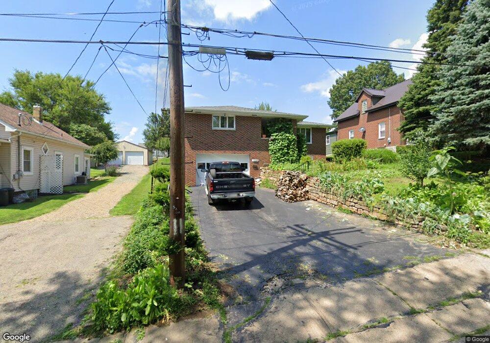
601 Campbell Ave New Kensington, PA 15068
Estimated Value: $69,769 - $170,000
--
Bed
--
Bath
--
Sq Ft
7,492
Sq Ft Lot
About This Home
This home is located at 601 Campbell Ave, New Kensington, PA 15068 and is currently estimated at $134,942. 601 Campbell Ave is a home located in Westmoreland County with nearby schools including Mary Queen of Apostles School.
Create a Home Valuation Report for This Property
The Home Valuation Report is an in-depth analysis detailing your home's value as well as a comparison with similar homes in the area
Home Values in the Area
Average Home Value in this Area
Tax History Compared to Growth
Tax History
| Year | Tax Paid | Tax Assessment Tax Assessment Total Assessment is a certain percentage of the fair market value that is determined by local assessors to be the total taxable value of land and additions on the property. | Land | Improvement |
|---|---|---|---|---|
| 2025 | $3,099 | $19,410 | $2,780 | $16,630 |
| 2024 | $3,070 | $19,410 | $2,780 | $16,630 |
| 2023 | $2,905 | $19,410 | $2,780 | $16,630 |
| 2022 | $2,816 | $19,410 | $2,780 | $16,630 |
| 2021 | $2,752 | $19,410 | $2,780 | $16,630 |
| 2020 | $2,694 | $19,410 | $2,780 | $16,630 |
| 2019 | $2,626 | $19,410 | $2,780 | $16,630 |
| 2018 | $2,587 | $19,410 | $2,780 | $16,630 |
| 2017 | $2,548 | $19,410 | $2,780 | $16,630 |
| 2016 | $2,548 | $19,410 | $2,780 | $16,630 |
| 2015 | $2,548 | $19,410 | $2,780 | $16,630 |
| 2014 | $2,449 | $19,410 | $2,780 | $16,630 |
Source: Public Records
Map
Nearby Homes
- 337 Fernledge Dr
- 438 Esther Ave
- 436 Esther Ave
- 648 Earl Ave
- 148 Liberty Ave
- 715 Carl Ave
- 381 Camp Ave
- 344 Iroquois Dr
- 170 Esther Ave
- 2108 Hollingsworth St
- 103 Woodstone Ln Unit 34
- 2105 Victoria Ave
- 2112 Kenneth Ave
- 2004 Woodmont Ave
- 2516 Kentucky Ct
- 107 E 1st Ave
- 2004 Victoria Ave
- 1407 Drey St Unit 29
- 2016 Kenneth Ave
- 426 W 8th Ave