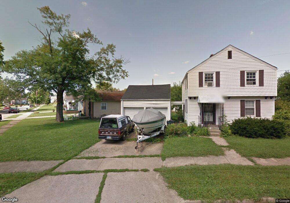
601 Campbell Dr Hamilton, OH 45011
East Hamilton NeighborhoodEstimated Value: $164,000 - $174,000
3
Beds
1
Bath
1,176
Sq Ft
$145/Sq Ft
Est. Value
About This Home
This home is located at 601 Campbell Dr, Hamilton, OH 45011 and is currently estimated at $170,157, approximately $144 per square foot. 601 Campbell Dr is a home located in Butler County with nearby schools including Fairwood Elementary School, Garfield Middle School, and Hamilton Freshman School.
Ownership History
Date
Name
Owned For
Owner Type
Purchase Details
Closed on
Feb 7, 2017
Sold by
Asher Sandra L
Bought by
Alford Richard N
Current Estimated Value
Purchase Details
Closed on
Oct 9, 1995
Sold by
Vicory Valerie L
Bought by
Alford Richard N
Home Financials for this Owner
Home Financials are based on the most recent Mortgage that was taken out on this home.
Original Mortgage
$74,200
Interest Rate
7.91%
Mortgage Type
New Conventional
Purchase Details
Closed on
Aug 1, 1985
Purchase Details
Closed on
Jul 1, 1985
Create a Home Valuation Report for This Property
The Home Valuation Report is an in-depth analysis detailing your home's value as well as a comparison with similar homes in the area
Home Values in the Area
Average Home Value in this Area
Purchase History
| Date | Buyer | Sale Price | Title Company |
|---|---|---|---|
| Alford Richard N | -- | None Available | |
| Alford Richard N | $76,500 | -- | |
| -- | $36,000 | -- | |
| -- | $50,500 | -- |
Source: Public Records
Mortgage History
| Date | Status | Borrower | Loan Amount |
|---|---|---|---|
| Previous Owner | Alford Richard N | $74,200 |
Source: Public Records
Tax History
| Year | Tax Paid | Tax Assessment Tax Assessment Total Assessment is a certain percentage of the fair market value that is determined by local assessors to be the total taxable value of land and additions on the property. | Land | Improvement |
|---|---|---|---|---|
| 2025 | $1,897 | $42,000 | $6,840 | $35,160 |
| 2024 | $1,897 | $42,000 | $6,840 | $35,160 |
| 2023 | $1,764 | $42,000 | $6,840 | $35,160 |
| 2022 | $1,548 | $31,140 | $6,840 | $24,300 |
| 2021 | $1,364 | $30,120 | $6,840 | $23,280 |
| 2020 | $1,421 | $30,120 | $6,840 | $23,280 |
| 2019 | $2,127 | $29,050 | $8,880 | $20,170 |
| 2018 | $1,350 | $29,050 | $8,880 | $20,170 |
| 2017 | $1,362 | $29,050 | $8,880 | $20,170 |
| 2016 | $1,339 | $27,220 | $8,880 | $18,340 |
| 2015 | $1,332 | $27,220 | $8,880 | $18,340 |
| 2014 | $1,249 | $27,220 | $8,880 | $18,340 |
| 2013 | $1,249 | $27,170 | $8,200 | $18,970 |
Source: Public Records
Map
Nearby Homes
- 1725 Campbell Dr
- 6047 Allison Ave
- 1798 Fairgrove Ave
- 325 N Fair Ave
- 1161 Heaton St
- 2795 Ashton Cir
- 922 Vine St
- 319 N 11th St
- 0 Walden Ponds Cir Unit 1867106
- 446 N 6th St
- 6278 Greens Way
- 518 Vine St
- 75 N Fair Ave
- 820 Dayton St
- 510 Vine St
- 1981 Princeton Rd
- 3088 Audubon Dr
- 203 Michael Ave
- 130 Lulu Ave
- 36 N 7th St
- 1836 Helen Ave
- 1832 Helen Ave
- 1833 Morey Ave
- 1835 Morey Ave
- 1829 Morey Ave
- 1837 Morey Ave
- 1825 Morey Ave
- 1828 Helen Ave
- 1821 Morey Ave
- 1839 Morey Ave
- 1817 Morey Ave
- 1837 Helen Ave
- 1820 Helen Ave
- 605 Campbell Dr
- 1813 Morey Ave
- 1816 Helen Ave
- 1833 Helen Ave
- 1809 Morey Ave
- 1824 Morey Ave
- 1820 Morey Ave
Your Personal Tour Guide
Ask me questions while you tour the home.