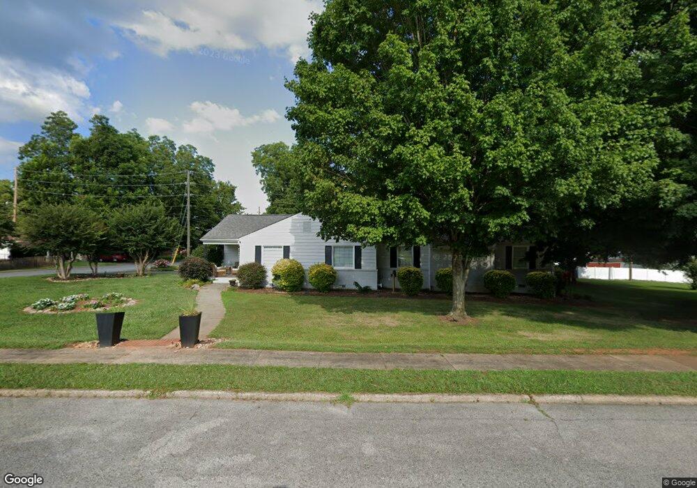
601 Crescent Cir Kings Mountain, NC 28086
Estimated Value: $327,000 - $393,000
3
Beds
4
Baths
2,363
Sq Ft
$151/Sq Ft
Est. Value
About This Home
This home is located at 601 Crescent Cir, Kings Mountain, NC 28086 and is currently estimated at $357,862, approximately $151 per square foot. 601 Crescent Cir is a home located in Cleveland County with nearby schools including West Elementary School, Kings Mountain Middle, and Kings Mountain Intermediate School.
Ownership History
Date
Name
Owned For
Owner Type
Purchase Details
Closed on
Aug 13, 2007
Sold by
Grissom Claudia G
Bought by
Morton Tiffany
Current Estimated Value
Home Financials for this Owner
Home Financials are based on the most recent Mortgage that was taken out on this home.
Original Mortgage
$133,000
Interest Rate
6.25%
Mortgage Type
Assumption
Create a Home Valuation Report for This Property
The Home Valuation Report is an in-depth analysis detailing your home's value as well as a comparison with similar homes in the area
Home Values in the Area
Average Home Value in this Area
Purchase History
| Date | Buyer | Sale Price | Title Company |
|---|---|---|---|
| Morton Tiffany | $140,000 | None Available |
Source: Public Records
Mortgage History
| Date | Status | Borrower | Loan Amount |
|---|---|---|---|
| Previous Owner | Morton Tiffany | $133,000 |
Source: Public Records
Tax History Compared to Growth
Tax History
| Year | Tax Paid | Tax Assessment Tax Assessment Total Assessment is a certain percentage of the fair market value that is determined by local assessors to be the total taxable value of land and additions on the property. | Land | Improvement |
|---|---|---|---|---|
| 2025 | $3,480 | $339,559 | $45,250 | $294,309 |
| 2024 | $2,452 | $207,849 | $38,372 | $169,477 |
| 2023 | $2,348 | $207,849 | $38,372 | $169,477 |
| 2022 | $2,336 | $207,849 | $38,372 | $169,477 |
| 2021 | $2,348 | $207,849 | $38,372 | $169,477 |
| 2020 | $1,969 | $169,329 | $38,372 | $130,957 |
| 2019 | $1,969 | $169,329 | $38,372 | $130,957 |
| 2018 | $1,968 | $169,329 | $38,372 | $130,957 |
| 2017 | $1,958 | $169,329 | $38,372 | $130,957 |
| 2016 | $1,966 | $169,329 | $38,372 | $130,957 |
| 2015 | $1,792 | $158,336 | $31,675 | $126,661 |
| 2014 | $1,792 | $158,336 | $31,675 | $126,661 |
Source: Public Records
Map
Nearby Homes
- 400 S Cansler St
- 316 S Cansler St
- 411 S Battleground Ave
- 811 W Gold St Unit 26
- 106 N Tracy St
- 200 E Gold St
- 300 N Watterson St
- 442 Phifer Rd
- 417 Phifer Rd
- 310 Campbell Cir
- 110 N Gaston St
- 207 Morris St
- 112 Fulton Dr
- 311 E King St Unit 2
- 5066 Beargrass Dr
- 208 Victoria Cir
- 710 York Rd
- 430 Fulton Dr
- 308 N Carpenter St
- 309 York Rd
- 603 Crescent Cir
- 600 Meadowbrook Rd
- 602 Meadowbrook Rd
- 513 Crescent Hill Rd
- 302 Hawthorne Rd
- 508 S Cansler St
- 605 Crescent Cir
- 606 Meadowbrook Rd
- 511 Crescent Hill Rd
- 608 Meadowbrook Rd
- 506 S Cansler St
- 509 Crescent Hill Rd
- 607 Crescent Cir
- 610 Meadowbrook Rd
- 514 Crescent Hill Rd
- 603 Meadowbrook Rd
- 504 S Cansler St
- 605 Meadowbrook Rd
- 507 Crescent Hill Rd
- 607 Meadowbrook Rd