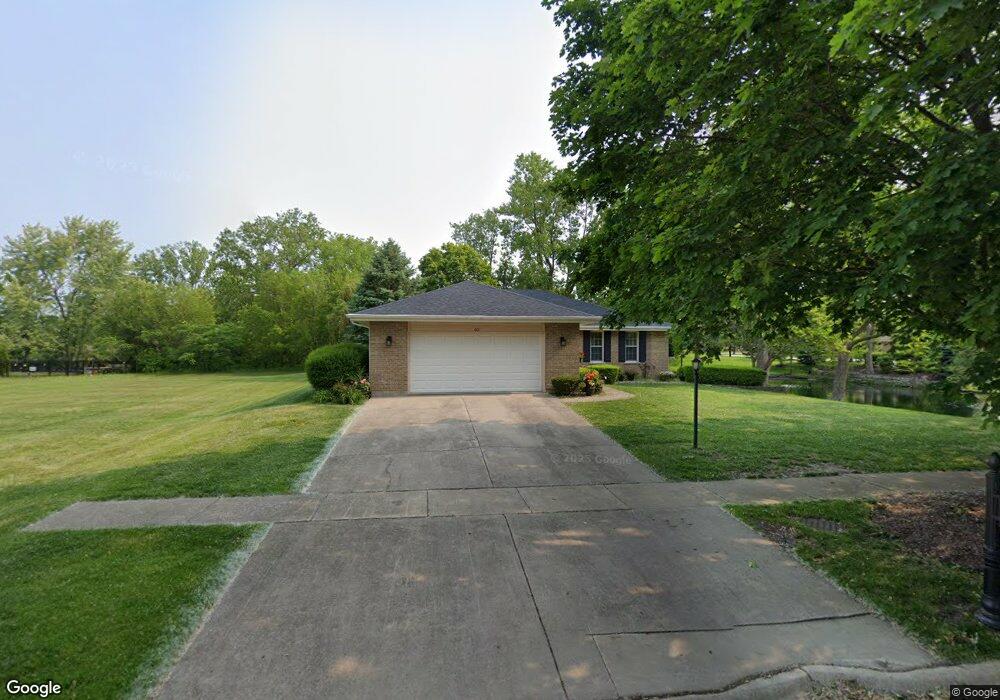
601 Crown Ln Peotone, IL 60468
Estimated Value: $367,029 - $400,000
--
Bed
--
Bath
--
Sq Ft
0.67
Acres
About This Home
This home is located at 601 Crown Ln, Peotone, IL 60468 and is currently estimated at $381,507. 601 Crown Ln is a home located in Will County with nearby schools including Peotone Elementary School, Peotone Intermediate Center, and Peotone Junior High School.
Ownership History
Date
Name
Owned For
Owner Type
Purchase Details
Closed on
Jul 23, 2012
Sold by
Municipal Trust & Savings Bank
Bought by
Bolanowski Richard E and Dubbert Kathleen F
Current Estimated Value
Purchase Details
Closed on
Sep 29, 2000
Sold by
Bult James and Bult Pearl
Bought by
Senesac Paul and Senesac Linda
Home Financials for this Owner
Home Financials are based on the most recent Mortgage that was taken out on this home.
Original Mortgage
$102,000
Interest Rate
7.99%
Purchase Details
Closed on
Dec 15, 1999
Sold by
Wolff Robert and Wolff Deborah
Bought by
Bult James and Bult Pearl
Create a Home Valuation Report for This Property
The Home Valuation Report is an in-depth analysis detailing your home's value as well as a comparison with similar homes in the area
Home Values in the Area
Average Home Value in this Area
Purchase History
| Date | Buyer | Sale Price | Title Company |
|---|---|---|---|
| Bolanowski Richard E | $250,000 | None Available | |
| Senesac Paul | $182,000 | Chicago Title Insurance Co | |
| Bult James | $180,000 | -- |
Source: Public Records
Mortgage History
| Date | Status | Borrower | Loan Amount |
|---|---|---|---|
| Previous Owner | Senesac Paul | $102,000 |
Source: Public Records
Tax History Compared to Growth
Tax History
| Year | Tax Paid | Tax Assessment Tax Assessment Total Assessment is a certain percentage of the fair market value that is determined by local assessors to be the total taxable value of land and additions on the property. | Land | Improvement |
|---|---|---|---|---|
| 2024 | -- | $121,571 | $37,115 | $84,456 |
| 2023 | $5,611 | $104,353 | $26,877 | $77,476 |
| 2022 | $5,611 | $94,139 | $24,246 | $69,893 |
| 2021 | $0 | $86,996 | $22,406 | $64,590 |
| 2020 | $2,664 | $82,617 | $21,278 | $61,339 |
| 2019 | $2,664 | $82,617 | $21,278 | $61,339 |
| 2018 | $0 | $82,617 | $21,278 | $61,339 |
| 2017 | $0 | $80,445 | $20,719 | $59,726 |
| 2016 | $0 | $78,868 | $20,313 | $58,555 |
| 2015 | $6,191 | $76,275 | $19,645 | $56,630 |
| 2014 | $6,191 | $76,275 | $19,645 | $56,630 |
| 2013 | $6,191 | $76,820 | $19,785 | $57,035 |
Source: Public Records
Map
Nearby Homes
- The Sommerville Plan at Westgate Manor
- The FoxGrove Plan at Westgate Manor
- The Prairie View Plan at Westgate Manor
- The Aspen II Plan at Westgate Manor
- The Manchester II Plan at Westgate Manor
- The Prairie II Plan at Westgate Manor
- The Stonebridge II Plan at Westgate Manor
- Lot 015 S Rathje Rd
- 0 W Wilmington Rd
- 405 Locust Ln
- 927 Locust Ln
- 00 S Center Rd
- 0 W Wilmington Rd
- 332 W North St
- 1035 Bonnie Ln
- Sec.32 W T 33n R 13e Rd
- 200 W Crawford St
- 205 W Crawford St
- 404 E South St
- 0 S Governors Hwy
- 601 W Crown Ln
- 600 Hans Brinker Rd
- 436 Division St
- 604 Hans Brinker Rd
- 608 Crown Ln
- 701 Crown Ln
- Lot 8 Crown Ln
- LOT 3 Crown Ln
- LOT 2 Crown Ln
- Lot #8 W Crown Ln
- 609 W Crown Ln
- 605 W Crown Ln
- 440 Division St Unit 2
- 703 W Crown Ln
- 705 W Crown Ln
- 439 Manor Dr
- 337 Hans Brinker Rd
- 341 Hans Brinker Rd
- 345 Hans Brinker Rd
- 608 Hans Brinker Rd