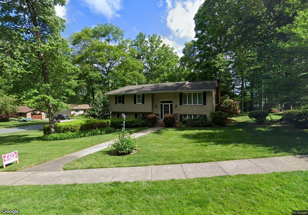
601 Deep Ridge Rd Bel Air, MD 21014
Estimated Value: $468,785
--
Bed
2
Baths
1,560
Sq Ft
$301/Sq Ft
Est. Value
About This Home
This home is located at 601 Deep Ridge Rd, Bel Air, MD 21014 and is currently estimated at $468,785, approximately $300 per square foot. 601 Deep Ridge Rd is a home located in Harford County with nearby schools including Homestead-Wakefield Elementary School, Bel Air Middle School, and Bel Air High School.
Ownership History
Date
Name
Owned For
Owner Type
Purchase Details
Closed on
May 29, 2024
Sold by
Wagner Audrey J
Bought by
Mitchell Travis and Mitchell Candice
Current Estimated Value
Home Financials for this Owner
Home Financials are based on the most recent Mortgage that was taken out on this home.
Original Mortgage
$490,000
Outstanding Balance
$483,830
Interest Rate
7.09%
Mortgage Type
VA
Estimated Equity
-$15,045
Create a Home Valuation Report for This Property
The Home Valuation Report is an in-depth analysis detailing your home's value as well as a comparison with similar homes in the area
Home Values in the Area
Average Home Value in this Area
Purchase History
| Date | Buyer | Sale Price | Title Company |
|---|---|---|---|
| Mitchell Travis | $490,000 | Guaranteed Trust Title |
Source: Public Records
Mortgage History
| Date | Status | Borrower | Loan Amount |
|---|---|---|---|
| Open | Mitchell Travis | $490,000 |
Source: Public Records
Tax History Compared to Growth
Tax History
| Year | Tax Paid | Tax Assessment Tax Assessment Total Assessment is a certain percentage of the fair market value that is determined by local assessors to be the total taxable value of land and additions on the property. | Land | Improvement |
|---|---|---|---|---|
| 2025 | $3,936 | $380,500 | $102,300 | $278,200 |
| 2024 | $2,420 | $361,167 | $0 | $0 |
| 2023 | $3,032 | $341,833 | $0 | $0 |
| 2022 | $1,442 | $322,500 | $102,300 | $220,200 |
| 2021 | $1,510 | $320,900 | $0 | $0 |
| 2020 | $1,510 | $319,300 | $0 | $0 |
| 2019 | $3,004 | $317,700 | $116,100 | $201,600 |
| 2018 | $3,560 | $311,333 | $0 | $0 |
| 2017 | $3,488 | $317,700 | $0 | $0 |
| 2016 | -- | $298,600 | $0 | $0 |
| 2015 | $3,244 | $293,633 | $0 | $0 |
| 2014 | $3,244 | $288,667 | $0 | $0 |
Source: Public Records
Map
Nearby Homes
- 804 Grady Ct
- 1055 Sansa Ct
- 638 Iron Gate Rd
- 726 Iron Gate Rd
- 600 Harvest Ct
- 515 W Ring Factory Rd
- 412 Viola Ct N
- 608 Squire Ln Unit B
- 606 Squire Ln Unit 606-A
- 601 Thames Way Unit E
- 0 Winter Park Rd
- 600 Squire Ln Unit 2J
- 298 Canterbury Rd Unit 298-D
- 204 Chaucer Ln Unit D
- 204 Chaucer Ln Unit O
- 304 Canterbury Rd Unit K
- 292 Canterbury Rd Unit N
- 296 Canterbury Rd
- 637 Wallingford Rd Unit 102
- 103 S Reed St
- 603 Deep Ridge Rd
- 619 Ponderosa Dr
- 600 Deep Ridge Rd
- 602 Deep Ridge Rd
- 626 Ponderosa Dr
- 605 Deep Ridge Rd
- 617 Ponderosa Dr
- 628 Ponderosa Dr
- 624 Ponderosa Dr
- 604 Deep Ridge Rd
- 700 Ponderosa Dr
- 622 Ponderosa Dr
- 606 Deep Ridge Rd
- 615 Ponderosa Dr
- 607 Deep Ridge Rd
- 703 Ponderosa Dr
- 620 Ponderosa Dr
- 614 Southwarke Rd
- 608 Deep Ridge Rd
- 613 Ponderosa Dr