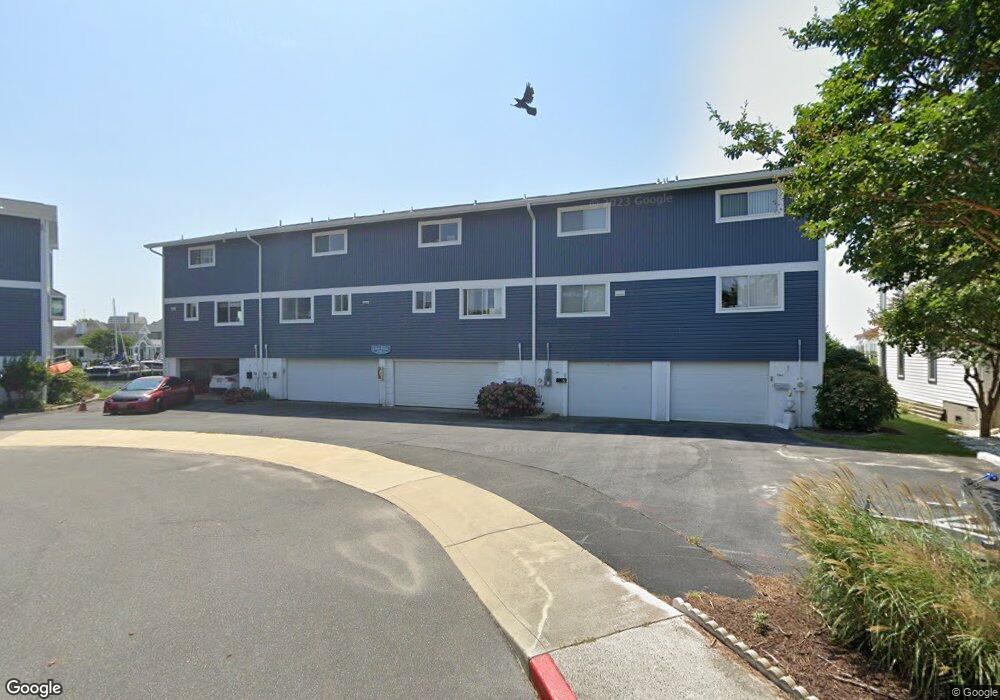
601 Dory Rd Unit 1 Ocean City, MD 21842
Estimated Value: $375,903 - $462,000
--
Bed
2
Baths
1,152
Sq Ft
$377/Sq Ft
Est. Value
About This Home
This home is located at 601 Dory Rd Unit 1, Ocean City, MD 21842 and is currently estimated at $434,726, approximately $377 per square foot. 601 Dory Rd Unit 1 is a home located in Worcester County with nearby schools including Ocean City Elementary School, Stephen Decatur Middle School, and Berlin Intermediate School.
Ownership History
Date
Name
Owned For
Owner Type
Purchase Details
Closed on
Aug 13, 1998
Sold by
Klein Kenneth Richard and Klein Sandra Lou
Bought by
Gordon Yvette S
Current Estimated Value
Purchase Details
Closed on
Jul 17, 1992
Sold by
Philps Robert H
Bought by
Klein Kenneth Richard and Sandra Lou
Home Financials for this Owner
Home Financials are based on the most recent Mortgage that was taken out on this home.
Original Mortgage
$89,500
Interest Rate
8.09%
Create a Home Valuation Report for This Property
The Home Valuation Report is an in-depth analysis detailing your home's value as well as a comparison with similar homes in the area
Home Values in the Area
Average Home Value in this Area
Purchase History
| Date | Buyer | Sale Price | Title Company |
|---|---|---|---|
| Gordon Yvette S | $129,900 | -- | |
| Klein Kenneth Richard | $112,000 | -- |
Source: Public Records
Mortgage History
| Date | Status | Borrower | Loan Amount |
|---|---|---|---|
| Previous Owner | Klein Kenneth Richard | $89,500 | |
| Closed | Gordon Yvette S | -- |
Source: Public Records
Tax History Compared to Growth
Tax History
| Year | Tax Paid | Tax Assessment Tax Assessment Total Assessment is a certain percentage of the fair market value that is determined by local assessors to be the total taxable value of land and additions on the property. | Land | Improvement |
|---|---|---|---|---|
| 2025 | $2,948 | $239,200 | $0 | $0 |
| 2024 | $2,948 | $222,700 | $0 | $0 |
| 2023 | $2,898 | $206,200 | $103,100 | $103,100 |
| 2022 | $2,898 | $206,200 | $103,100 | $103,100 |
| 2021 | $2,914 | $206,200 | $103,100 | $103,100 |
| 2020 | $2,913 | $206,200 | $103,100 | $103,100 |
| 2019 | $2,933 | $206,200 | $103,100 | $103,100 |
| 2018 | $2,912 | $206,200 | $103,100 | $103,100 |
| 2017 | $2,913 | $206,200 | $0 | $0 |
| 2016 | -- | $206,200 | $0 | $0 |
| 2015 | -- | $206,200 | $0 | $0 |
| 2014 | $3,055 | $224,600 | $0 | $0 |
Source: Public Records
Map
Nearby Homes
- 615 Salt Spray Rd
- 8904 Rusty Anchor Rd
- 8906 Rusty Anchor Rd Unit 11
- 616 Salt Spray Rd Unit 6
- 604 S Pacific Ave
- 701 Rusty Anchor Rd Unit 17
- 9203 Rusty Anchor Rd
- 710 Bradley Rd Unit A2
- 726 Mooring Rd
- 712 Bradley Rd Unit E
- 8601 Chesapeake Dr
- 9307 Chesapeake Dr
- 707 94th St Unit 302
- 720 Rusty Anchor Rd Unit 36C RUSTY ANCHOR
- 720 Rusty Anchor Rd
- 718 Mooring Rd Unit 203B
- 401 Bering Rd
- 722 Mooring Rd
- 8703 Caribbean Dr
- 8703 Caribbean Dr Unit B
- 601 Dory Rd Unit 2
- 601 Dory Rd
- 601 Dory Rd
- 601 Dory Rd Unit 3
- 601 Dory Rd
- 603A Dory Rd
- 600 Dory Rd Unit 702
- 600 Dory Rd Unit 1202
- 600 Dory Rd Unit 902
- 600 Dory Rd Unit 802
- 600 Dory Rd Unit 1002
- 600 Dory Rd Unit 1102
- 600 Dory Rd Unit 602
- 600 Dory Rd Unit 9
- 600 Dory Rd Unit 11
- 603B Dory Rd
- 603 C Dory Rd
- 603 Dory Rd Unit B
- 603 Dory Rd Unit C
- 603 Dory Rd