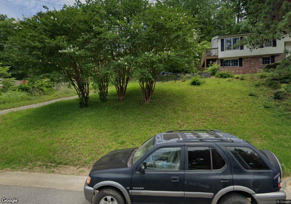
601 Forrest Dr Birmingham, AL 35209
Estimated Value: $496,625 - $843,000
3
Beds
2
Baths
1,212
Sq Ft
$518/Sq Ft
Est. Value
About This Home
This home is located at 601 Forrest Dr, Birmingham, AL 35209 and is currently estimated at $627,406, approximately $517 per square foot. 601 Forrest Dr is a home located in Jefferson County with nearby schools including Edgewood Elementary School, Homewood Middle School, and Homewood High School.
Ownership History
Date
Name
Owned For
Owner Type
Purchase Details
Closed on
Sep 14, 2005
Sold by
Sanders Mary Ann Russell
Bought by
Weed Katherine S
Current Estimated Value
Home Financials for this Owner
Home Financials are based on the most recent Mortgage that was taken out on this home.
Original Mortgage
$100,000
Outstanding Balance
$51,535
Interest Rate
5.86%
Mortgage Type
Fannie Mae Freddie Mac
Estimated Equity
$575,871
Create a Home Valuation Report for This Property
The Home Valuation Report is an in-depth analysis detailing your home's value as well as a comparison with similar homes in the area
Home Values in the Area
Average Home Value in this Area
Purchase History
| Date | Buyer | Sale Price | Title Company |
|---|---|---|---|
| Weed Katherine S | $235,000 | None Available |
Source: Public Records
Mortgage History
| Date | Status | Borrower | Loan Amount |
|---|---|---|---|
| Open | Weed Katherine S | $100,000 |
Source: Public Records
Tax History
| Year | Tax Paid | Tax Assessment Tax Assessment Total Assessment is a certain percentage of the fair market value that is determined by local assessors to be the total taxable value of land and additions on the property. | Land | Improvement |
|---|---|---|---|---|
| 2025 | $6,421 | $88,220 | -- | -- |
| 2024 | $6,126 | $85,620 | -- | -- |
| 2022 | $6,226 | $83,020 | $67,000 | $16,020 |
| 2021 | $5,924 | $78,980 | $67,000 | $11,980 |
| 2020 | $5,821 | $77,620 | $67,000 | $10,620 |
| 2019 | $5,750 | $76,660 | $0 | $0 |
| 2018 | $5,340 | $71,200 | $0 | $0 |
| 2017 | $4,655 | $62,060 | $0 | $0 |
| 2016 | $4,260 | $56,800 | $0 | $0 |
| 2015 | $4,260 | $56,800 | $0 | $0 |
| 2014 | $3,477 | $47,300 | $0 | $0 |
| 2013 | $3,477 | $47,300 | $0 | $0 |
Source: Public Records
Map
Nearby Homes
- 114 Havenwood Ct
- 217 Edgeview Ave
- 800 Beacon Pkwy E
- 840 Beacon Pkwy E Unit C
- 838 Beacon Pkwy E Unit D
- 803 Acton Ave
- 708 Rockford Dr
- 575 Forrest Dr S
- 301 Edgeview Ave
- 302 Mecca Ave
- 805 Rockhurst Ln
- 112 Crest Dr
- 705 Rockford Cir
- 914 Highland Rd
- 717 Rockford Cir
- 412 Edgewood Blvd
- 211 Saint Charles St
- 308 Saint Charles St
- 408 Woodvale Ln
- 1439 Ridge Rd
- 597 Forrest Dr
- 597 Forest Dr
- 603 Forrest Dr
- 603 Forest Dr
- 541 Oxmoor Rd
- 605 Forrest Dr
- 328 Lathrop Ave
- 330 Lathrop Ave
- 596 Forrest Dr S
- 332 Lathrop Ave
- 324 Lathrop Ave
- 600 Forrest Dr
- 533 Oxmoor Rd
- 334 Lathrop Ave
- 607 Forrest Dr
- 312 Lathrop Ave
- 607 Forest Dr
- 602 Forrest Dr
- 531 Oxmoor Rd
- 336 Lathrop Ave
Your Personal Tour Guide
Ask me questions while you tour the home.