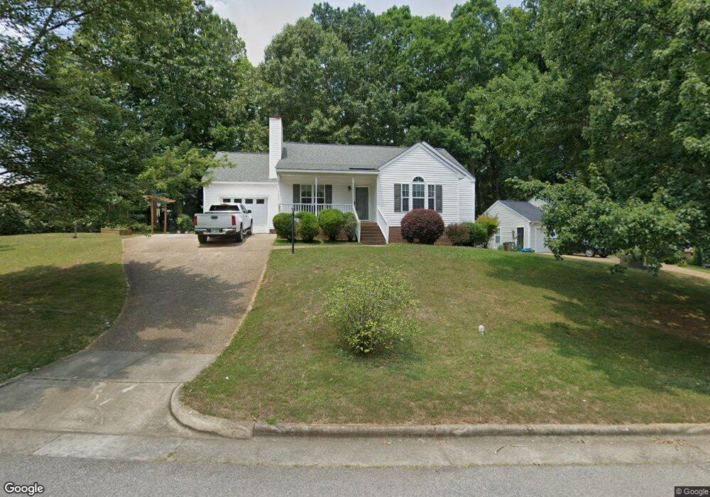
601 Harris Point Way Wake Forest, NC 27587
Estimated Value: $321,904 - $332,000
3
Beds
2
Baths
1,202
Sq Ft
$272/Sq Ft
Est. Value
About This Home
This home is located at 601 Harris Point Way, Wake Forest, NC 27587 and is currently estimated at $326,726, approximately $271 per square foot. 601 Harris Point Way is a home located in Wake County with nearby schools including Richland Creek Elementary School, Wake Forest-Rolesville Middle School, and Wake Forest High School.
Ownership History
Date
Name
Owned For
Owner Type
Purchase Details
Closed on
Mar 30, 2001
Sold by
Cornett Thomas L
Bought by
Trull Rodney C
Current Estimated Value
Home Financials for this Owner
Home Financials are based on the most recent Mortgage that was taken out on this home.
Original Mortgage
$88,800
Outstanding Balance
$32,735
Interest Rate
7.02%
Estimated Equity
$293,991
Purchase Details
Closed on
Dec 16, 1997
Sold by
T L C Builders Inc
Bought by
Cornett Thomas L and Cornett Glenda W
Home Financials for this Owner
Home Financials are based on the most recent Mortgage that was taken out on this home.
Original Mortgage
$99,600
Interest Rate
7.26%
Mortgage Type
Purchase Money Mortgage
Create a Home Valuation Report for This Property
The Home Valuation Report is an in-depth analysis detailing your home's value as well as a comparison with similar homes in the area
Home Values in the Area
Average Home Value in this Area
Purchase History
| Date | Buyer | Sale Price | Title Company |
|---|---|---|---|
| Trull Rodney C | $111,000 | -- | |
| Cornett Thomas L | -- | -- |
Source: Public Records
Mortgage History
| Date | Status | Borrower | Loan Amount |
|---|---|---|---|
| Open | Trull Rodney C | $88,800 | |
| Previous Owner | Cornett Thomas L | $99,600 |
Source: Public Records
Tax History
| Year | Tax Paid | Tax Assessment Tax Assessment Total Assessment is a certain percentage of the fair market value that is determined by local assessors to be the total taxable value of land and additions on the property. | Land | Improvement |
|---|---|---|---|---|
| 2025 | $3,366 | $344,152 | $85,000 | $259,152 |
| 2024 | $3,354 | $344,152 | $85,000 | $259,152 |
Source: Public Records
Map
Nearby Homes
- 904 Barnford Mill Rd
- 1011 Barnford Mill Rd
- 1006 Barnford Mill Rd
- 405 Falls Bluff Dr
- 352 Cascade Hills Ln
- 104 Remington Woods Dr
- 409 Falls Bluff Dr
- 413 Falls Bluff Dr
- 716 Cormiche Ln
- 109 Remington Woods Dr
- 1041 Barnford Mill Rd
- 361 Natsam Woods Way
- 372 Natsam Woods Way
- 816 Saint Catherines Dr
- 719 Saint Catherines Dr
- 140 Melksham Rd
- 508 Ferry Ct
- 108 W Chestnut Ave
- 913 Whistable Ave
- 1205 Barnford Mill Rd
- 608 Harris Rd
- 609 Harris Point Way
- 600 Harris Point Way
- 604 Harris Point Way
- 608 Harris Point Way
- 613 Harris Point Way
- 612 Harris Point Way
- 605 Wall Rd
- 636 Harris Rd
- 616 Harris Point Way
- 617 Harris Point Way
- 620 Harris Point Way
- 621 Harris Point Way
- 0 Harris Rd
- 3 Harris Rd
- 628 Harris Point Way
- 625 Harris Point Way
- 629 Harris Point Way
- 632 Harris Point Way
- 636 Harris Point Way
Your Personal Tour Guide
Ask me questions while you tour the home.