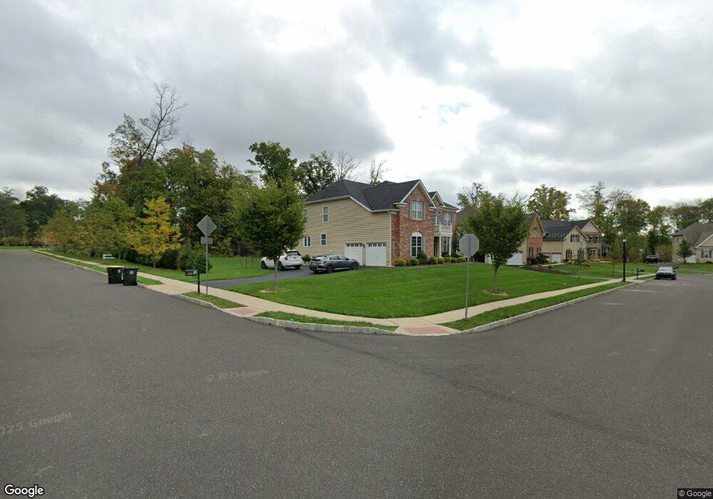
601 Joans Way Warrington, PA 18976
Estimated Value: $1,223,847 - $1,273,000
5
Beds
4
Baths
4,323
Sq Ft
$291/Sq Ft
Est. Value
About This Home
This home is located at 601 Joans Way, Warrington, PA 18976 and is currently estimated at $1,259,712, approximately $291 per square foot. 601 Joans Way is a home with nearby schools including Mill Creek Elementary School, Unami Middle School, and Central Bucks High School - South.
Ownership History
Date
Name
Owned For
Owner Type
Purchase Details
Closed on
Oct 17, 2016
Sold by
Toll Pa Xiv Lp
Bought by
Jain Amit and Jain Sandhya
Current Estimated Value
Home Financials for this Owner
Home Financials are based on the most recent Mortgage that was taken out on this home.
Original Mortgage
$628,000
Outstanding Balance
$503,460
Interest Rate
3.46%
Mortgage Type
New Conventional
Estimated Equity
$756,252
Purchase Details
Closed on
Jan 22, 2015
Sold by
The Meehan Family Limited Partnership
Bought by
Toll Pa Xiv Lp
Create a Home Valuation Report for This Property
The Home Valuation Report is an in-depth analysis detailing your home's value as well as a comparison with similar homes in the area
Home Values in the Area
Average Home Value in this Area
Purchase History
| Date | Buyer | Sale Price | Title Company |
|---|---|---|---|
| Jain Amit | $796,548 | None Available | |
| Toll Pa Xiv Lp | $3,142 | None Available |
Source: Public Records
Mortgage History
| Date | Status | Borrower | Loan Amount |
|---|---|---|---|
| Open | Jain Amit | $628,000 |
Source: Public Records
Tax History Compared to Growth
Tax History
| Year | Tax Paid | Tax Assessment Tax Assessment Total Assessment is a certain percentage of the fair market value that is determined by local assessors to be the total taxable value of land and additions on the property. | Land | Improvement |
|---|---|---|---|---|
| 2025 | $14,107 | $76,420 | $11,050 | $65,370 |
| 2024 | $14,107 | $76,420 | $11,050 | $65,370 |
| 2023 | $13,061 | $76,420 | $11,050 | $65,370 |
| 2022 | $12,803 | $76,420 | $11,050 | $65,370 |
| 2021 | $12,661 | $76,420 | $11,050 | $65,370 |
| 2020 | $12,661 | $76,420 | $11,050 | $65,370 |
| 2019 | $12,584 | $76,420 | $11,050 | $65,370 |
| 2018 | $12,444 | $76,420 | $11,050 | $65,370 |
| 2017 | $1,420 | $76,420 | $11,050 | $65,370 |
| 2016 | $1,416 | $8,840 | $8,840 | $0 |
Source: Public Records
Map
Nearby Homes
- 623 Addison Way
- 430 Homestead Cir
- 418 Homestead Cir
- 719 S Settlers Cir
- 508 Fullerton Farm Court Lot#21
- 503
- 500
- 506 Fullerton Farm Court Lot #22
- 506 McNaney Farm Dr Lot # 27
- 528 Fullerton Farm Ct
- 511 McNaney Farm Dr Lot #6
- 2756 Pickertown Rd
- 858 Elbow Ln
- 2463 Pine Cone Rd
- 3146 Wier Dr E Unit E
- 3174 Wier Dr E Unit E
- 3237 Pickertown Rd
- 406 Primrose Place
- 279 Folly Rd
- 2402 Dogleg Dr Unit 42H
- 603 Joans Way
- 625 Addison Way
- 621 Addison Way
- 605 Joans Way
- 627 Addison Way
- 608 Addison Way
- 607 Joans Way
- 629 Addison Way
- 710 Bryans Way
- 727 Russells Way
- 606 Addison Way
- 617 Addison Way
- 700 Bryans Way
- 725 Russells Way
- 615 Addison Way
- 631 Addison Way
- 702 Bryans Way
- 604 Addison Way
- 2899 Street Rd
- 729 Russells Way