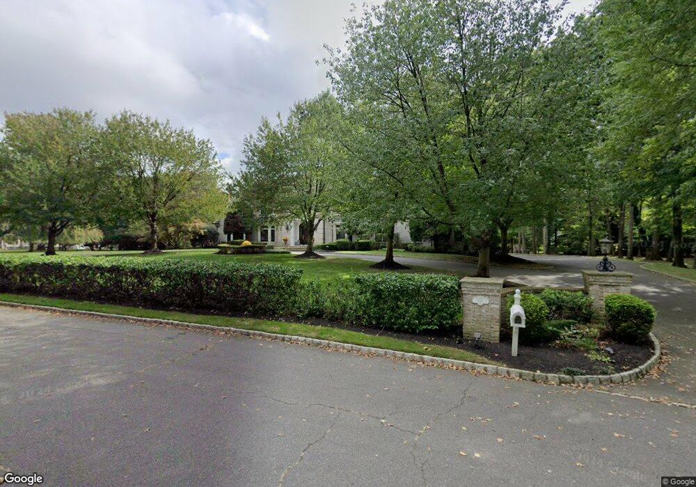
601 Martins Ln Red Bank, NJ 07701
New Monmouth NeighborhoodEstimated Value: $1,866,000 - $2,330,000
5
Beds
4
Baths
5,065
Sq Ft
$426/Sq Ft
Est. Value
About This Home
This home is located at 601 Martins Ln, Red Bank, NJ 07701 and is currently estimated at $2,158,779, approximately $426 per square foot. 601 Martins Ln is a home located in Monmouth County with nearby schools including Fairview Elementary School, Bayshore Middle School, and Middletown High School North.
Ownership History
Date
Name
Owned For
Owner Type
Purchase Details
Closed on
Mar 10, 2008
Sold by
Lynch Patrick and Lynch Lisette
Bought by
Lynch Patrick J and Lynch Lisette T
Current Estimated Value
Purchase Details
Closed on
Jan 11, 1999
Sold by
Ferraro Builders Llc
Bought by
Lynch Patrick and Lynch Lisette
Home Financials for this Owner
Home Financials are based on the most recent Mortgage that was taken out on this home.
Original Mortgage
$200,000
Outstanding Balance
$46,149
Interest Rate
6.7%
Estimated Equity
$2,112,630
Create a Home Valuation Report for This Property
The Home Valuation Report is an in-depth analysis detailing your home's value as well as a comparison with similar homes in the area
Home Values in the Area
Average Home Value in this Area
Purchase History
| Date | Buyer | Sale Price | Title Company |
|---|---|---|---|
| Lynch Patrick J | -- | None Available | |
| Lynch Patrick | $700,000 | -- |
Source: Public Records
Mortgage History
| Date | Status | Borrower | Loan Amount |
|---|---|---|---|
| Open | Lynch Patrick | $200,000 |
Source: Public Records
Tax History Compared to Growth
Tax History
| Year | Tax Paid | Tax Assessment Tax Assessment Total Assessment is a certain percentage of the fair market value that is determined by local assessors to be the total taxable value of land and additions on the property. | Land | Improvement |
|---|---|---|---|---|
| 2025 | $31,173 | $1,980,900 | $469,800 | $1,511,100 |
| 2024 | $32,353 | $1,895,000 | $411,600 | $1,483,400 |
| 2023 | $32,353 | $1,861,500 | $396,900 | $1,464,600 |
| 2022 | $32,939 | $1,715,200 | $404,400 | $1,310,800 |
| 2021 | $32,939 | $1,583,600 | $404,400 | $1,179,200 |
| 2020 | $33,289 | $1,557,000 | $404,400 | $1,152,600 |
| 2019 | $34,073 | $1,613,300 | $454,400 | $1,158,900 |
| 2018 | $37,262 | $1,719,500 | $614,500 | $1,105,000 |
| 2017 | $36,133 | $1,701,200 | $614,500 | $1,086,700 |
| 2016 | $35,671 | $1,673,900 | $614,500 | $1,059,400 |
| 2015 | $34,336 | $1,607,500 | $614,500 | $993,000 |
| 2014 | $34,194 | $1,562,100 | $614,500 | $947,600 |
Source: Public Records
Map
Nearby Homes
- 39 Market St
- 458 Navesink River Rd
- 839 Arthur Dr
- 310 Cooper Rd Unit C
- 51 Blossom Cove Rd
- 19 Statesir Place
- 4 Breana Ct
- 139 Statesir Place
- 152 Chapel Hill Rd
- 37 Delaware Ave
- 79 Lake Shore Dr
- 43 Roosevelt Cir W
- 583 Navesink River Rd
- 833 Lincoln St
- 130 Bodman Place Unit 15
- 1 Hance Rd
- 44 Monroe St
- 9 Wesleyan St
- 11 Wharf Ave Unit 3
- 8 Cherry St
- 602 Martins Ln
- 603 Martins Ln
- 423 Navesink River Rd
- 427 Navesink River Rd
- 604 Martins Ln
- 605 Martins Ln
- 303 Patterson Ln
- 435 Navesink River Rd
- 439 Navesink River Rd
- 300 Patterson Ln
- 459 Navesink River Rd
- 424 Navesink River Rd
- 856 Grove St
- 7 Patterson St
- 432 Navesink River Rd
- 444 Navesink River Rd
- 846 Grove St
- 826 Grove St
- 836 Grove St
- 820 Grove St