Estimated Value: $117,000 - $167,000
3
Beds
2
Baths
1,260
Sq Ft
$119/Sq Ft
Est. Value
About This Home
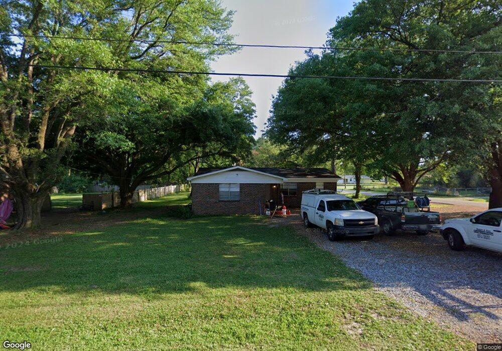
This home is located at 601 Mcbride Cir N, Axis, AL 36505 and is currently estimated at $149,913, approximately $118 per square foot. 601 Mcbride Cir N is a home located in Mobile County with nearby schools including North Mobile County Middle School and Citronelle High School.
Ownership History
Date
Name
Owned For
Owner Type
Purchase Details
Closed on
May 3, 2016
Sold by
Cox Steven J and Cox Robin K
Bought by
Kelly Paul and Kelly Barbara
Current Estimated Value
Purchase Details
Closed on
Jul 21, 2010
Sold by
Smith Polly Ann Etheredge and Boutwell Dorene
Bought by
Hays Jason Reed and Hays Michelle Adell
Home Financials for this Owner
Home Financials are based on the most recent Mortgage that was taken out on this home.
Original Mortgage
$83,110
Interest Rate
4.73%
Mortgage Type
New Conventional
Create a Home Valuation Report for This Property
The Home Valuation Report is an in-depth analysis detailing your home's value as well as a comparison with similar homes in the area
Home Values in the Area
Average Home Value in this Area
Purchase History
| Date | Buyer | Sale Price | Title Company |
|---|---|---|---|
| Kelly Paul | $24,141 | None Available | |
| Hays Jason Reed | -- | Fmt |
Source: Public Records
Mortgage History
| Date | Status | Borrower | Loan Amount |
|---|---|---|---|
| Previous Owner | Hays Jason Reed | $83,110 |
Source: Public Records
Tax History
| Year | Tax Paid | Tax Assessment Tax Assessment Total Assessment is a certain percentage of the fair market value that is determined by local assessors to be the total taxable value of land and additions on the property. | Land | Improvement |
|---|---|---|---|---|
| 2025 | $697 | $14,380 | $2,000 | $12,380 |
| 2024 | $697 | $14,380 | $2,000 | $12,380 |
| 2023 | $664 | $13,700 | $2,000 | $11,700 |
| 2022 | $664 | $13,700 | $2,000 | $11,700 |
| 2021 | $629 | $12,960 | $2,560 | $10,400 |
| 2020 | $629 | $12,960 | $2,560 | $10,400 |
| 2019 | $607 | $12,520 | $2,560 | $9,960 |
| 2018 | $556 | $11,460 | $0 | $0 |
| 2017 | $556 | $11,460 | $0 | $0 |
| 2016 | $219 | $5,900 | $0 | $0 |
| 2013 | $216 | $5,700 | $0 | $0 |
Source: Public Records
Map
Nearby Homes
- 565 Wilson Blvd
- 11286 Highway 43
- 760 Wilson Blvd
- 11286 Old Us Highway 43
- 11475 Highway 43 N
- 11525 Highway 43 N
- 11045 Hurst Dr
- 0 Bell Dr Unit 5
- 0 Dead Lake Marina Rd Unit 7360688
- 0 Lucas Rd Unit 7685894
- 10086 Old Highway 43
- 1801 Dead Lake Marina Rd
- 9875 Hardy Dr
- 341 Dead Lake Rd
- 284 Dead Lake Rd
- 1931 Dead Lake Marina Rd
- 0 Dead Lake Rd Unit 25467477
- 12865 Highway 43 N
- 0 Sailor Rd
- 9321 Lawshe Ave
- 454 Mcbride Cir N
- 621 Mcbride Cir N
- 631 Mcbride Cir N
- 11120 Johns Dr
- 571 Mcbride Cir N
- 580 Mcbride Cir N
- 461 Mcbride Cir N
- 620 Mcbride Cir N
- 570 Mcbride Cir N
- 570 Doretta Dr
- 561 Mcbride Cir N
- 560 Mcbride Cir N
- 630 Mcbride Cir N
- 630 Mcbride Cir N Unit A
- 630 Mcbride Cir N
- 625 Wilson Blvd
- 550 Mcbride Cir N
- 539 Mcbride Cir N
- 575 Wilson Blvd
- 11100 Johns Dr
Your Personal Tour Guide
Ask me questions while you tour the home.