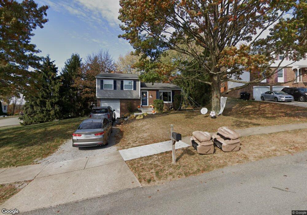
601 Meade Dr Coraopolis, PA 15108
Estimated Value: $252,000 - $289,000
3
Beds
2
Baths
1,392
Sq Ft
$195/Sq Ft
Est. Value
About This Home
This home is located at 601 Meade Dr, Coraopolis, PA 15108 and is currently estimated at $271,712, approximately $195 per square foot. 601 Meade Dr is a home located in Allegheny County with nearby schools including Moon Area High School.
Ownership History
Date
Name
Owned For
Owner Type
Purchase Details
Closed on
Sep 16, 2009
Sold by
Sharkey Marla J and Sharkey Michael A
Bought by
Elm Christopher R and Elm Laura
Current Estimated Value
Home Financials for this Owner
Home Financials are based on the most recent Mortgage that was taken out on this home.
Original Mortgage
$127,650
Outstanding Balance
$83,990
Interest Rate
5.31%
Mortgage Type
VA
Estimated Equity
$187,722
Purchase Details
Closed on
Aug 7, 1998
Sold by
Dailey Paul M and Dailey Emily F
Bought by
Sharkey Michael A and Sharkey Marla J
Purchase Details
Closed on
Jan 1, 1900
Create a Home Valuation Report for This Property
The Home Valuation Report is an in-depth analysis detailing your home's value as well as a comparison with similar homes in the area
Home Values in the Area
Average Home Value in this Area
Purchase History
| Date | Buyer | Sale Price | Title Company |
|---|---|---|---|
| Elm Christopher R | $125,000 | -- | |
| Sharkey Michael A | $95,000 | -- | |
| -- | -- | -- |
Source: Public Records
Mortgage History
| Date | Status | Borrower | Loan Amount |
|---|---|---|---|
| Open | Elm Christopher R | $127,650 |
Source: Public Records
Tax History
| Year | Tax Paid | Tax Assessment Tax Assessment Total Assessment is a certain percentage of the fair market value that is determined by local assessors to be the total taxable value of land and additions on the property. | Land | Improvement |
|---|---|---|---|---|
| 2025 | $3,213 | $102,800 | $43,700 | $59,100 |
| 2024 | $3,213 | $102,800 | $43,700 | $59,100 |
| 2023 | $3,099 | $102,800 | $43,700 | $59,100 |
| 2022 | $3,099 | $102,800 | $43,700 | $59,100 |
| 2021 | $3,396 | $102,800 | $43,700 | $59,100 |
| 2020 | $3,021 | $102,800 | $43,700 | $59,100 |
| 2019 | $2,939 | $102,800 | $43,700 | $59,100 |
| 2018 | $486 | $102,800 | $43,700 | $59,100 |
| 2017 | $2,778 | $102,800 | $43,700 | $59,100 |
| 2016 | $486 | $102,800 | $43,700 | $59,100 |
| 2015 | $486 | $102,800 | $43,700 | $59,100 |
| 2014 | $2,706 | $102,800 | $43,700 | $59,100 |
Source: Public Records
Map
Nearby Homes
- 603 Meade Dr
- 428 Scottsdale Dr
- 209 Glenmore Dr
- 1490 Olde Stable Ln
- 303 Macnab Dr
- 121 Shelbourne Dr
- 125 Shelbourne Dr
- 128 Darnley Dr
- 129 Scottsdale Dr
- 225 Foxwood Rd
- 224 Foxwood Rd
- 1053 Whispering Woods Dr
- 1717 Heather Heights Dr Unit 1717
- 1512 Spring Run Road Extension
- 107 Crosswick Rd
- 420 Blue Ridge Dr
- 1558 Parkwood Pointe Dr
- 1556 Parkwood Pointe Dr
- 103 Sweetwater Dr
- 172 Victoria Dr
Your Personal Tour Guide
Ask me questions while you tour the home.