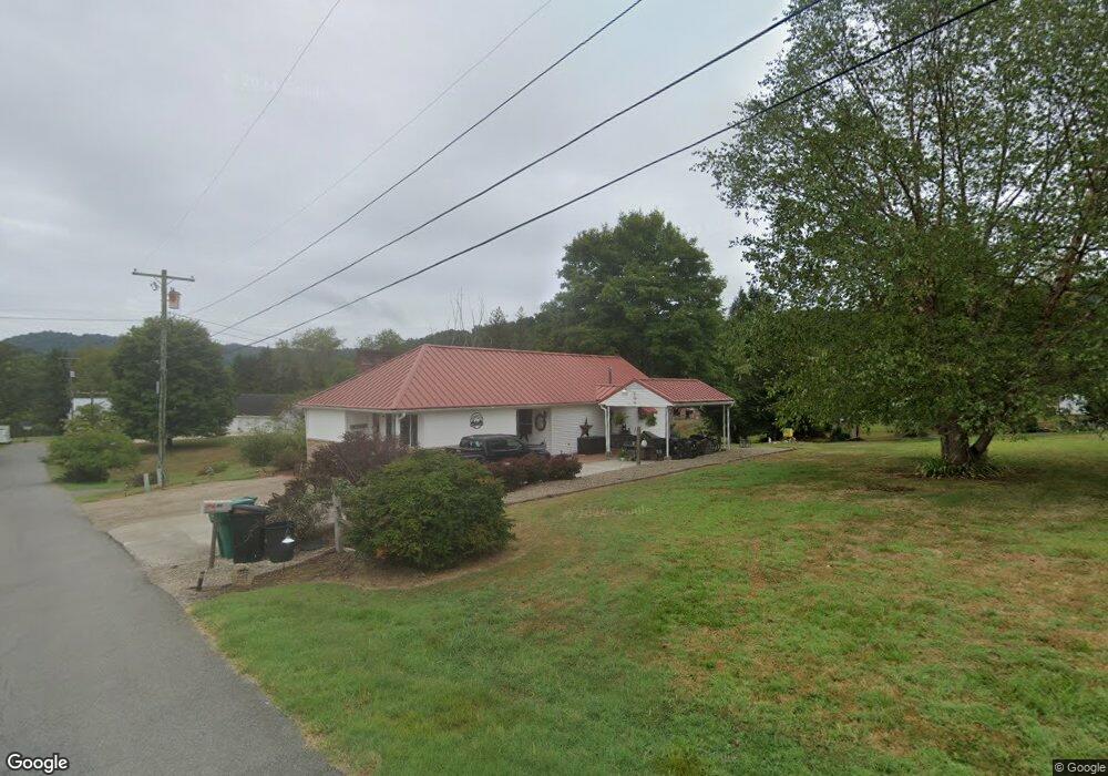
601 N 1st St Sutton, WV 26601
Estimated Value: $111,604 - $149,000
2
Beds
2
Baths
1,706
Sq Ft
$75/Sq Ft
Est. Value
About This Home
This home is located at 601 N 1st St, Sutton, WV 26601 and is currently estimated at $127,401, approximately $74 per square foot. 601 N 1st St is a home located in Braxton County with nearby schools including Braxton County High School.
Ownership History
Date
Name
Owned For
Owner Type
Purchase Details
Closed on
Aug 19, 2018
Sold by
Daniel & M Grishkin Ret
Bought by
Crist Lola A and Price Sissy
Current Estimated Value
Home Financials for this Owner
Home Financials are based on the most recent Mortgage that was taken out on this home.
Original Mortgage
$74,400
Outstanding Balance
$63,853
Interest Rate
4.5%
Mortgage Type
New Conventional
Estimated Equity
$63,548
Create a Home Valuation Report for This Property
The Home Valuation Report is an in-depth analysis detailing your home's value as well as a comparison with similar homes in the area
Purchase History
| Date | Buyer | Sale Price | Title Company |
|---|---|---|---|
| Crist Lola A | $93,000 | -- |
Source: Public Records
Mortgage History
| Date | Status | Borrower | Loan Amount |
|---|---|---|---|
| Open | Crist Lola A | $74,400 |
Source: Public Records
Tax History
| Year | Tax Paid | Tax Assessment Tax Assessment Total Assessment is a certain percentage of the fair market value that is determined by local assessors to be the total taxable value of land and additions on the property. | Land | Improvement |
|---|---|---|---|---|
| 2025 | $503 | $49,320 | $4,140 | $45,180 |
| 2024 | $503 | $44,820 | $4,140 | $40,680 |
| 2023 | $450 | $44,040 | $4,140 | $39,900 |
| 2022 | $446 | $43,440 | $4,140 | $39,300 |
| 2021 | $411 | $39,960 | $4,140 | $35,820 |
| 2020 | $399 | $38,760 | $4,140 | $34,620 |
| 2019 | $383 | $36,900 | $4,140 | $32,760 |
| 2018 | $371 | $35,700 | $4,140 | $31,560 |
| 2017 | $335 | $32,040 | $4,140 | $27,900 |
| 2016 | $335 | $32,040 | $4,140 | $27,900 |
| 2015 | $339 | $33,000 | $4,140 | $28,860 |
| 2014 | $323 | $29,580 | $3,960 | $25,620 |
Source: Public Records
Map
Nearby Homes
- 304 River View Dr
- 210 Main St
- 280 S Charles St
- 196 Fairview St
- TBD Buckeye Creek Rd
- 30 Camden Ave
- 56 Deal St
- 3091 State St
- 3089 State St
- 3004 State St
- TBD Quinnwood Ln
- TBD 1 Quinnwood Ln
- 754 Days Dr Unit 6
- 3801 Old Turnpike Rd
- 746 Days Dr Unit 4
- 738 Days Dr Unit 2
- 106 Lee St
- 130 Otter Ln
- 204 Linden St
- 709 Braxton St
Your Personal Tour Guide
Ask me questions while you tour the home.