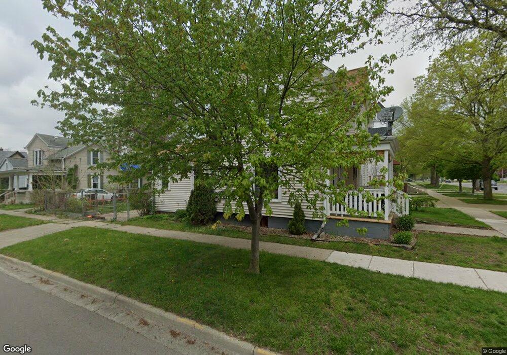
601 N Broad St Adrian, MI 49221
Estimated Value: $105,000 - $159,000
Studio
--
Bath
1,458
Sq Ft
$88/Sq Ft
Est. Value
About This Home
This home is located at 601 N Broad St, Adrian, MI 49221 and is currently estimated at $127,878, approximately $87 per square foot. 601 N Broad St is a home located in Lenawee County with nearby schools including Adrian High School, St. Joseph Academy, and St. Joseph's Academy.
Ownership History
Date
Name
Owned For
Owner Type
Purchase Details
Closed on
Mar 10, 2021
Sold by
Martinez Blanca I
Bought by
Collins Myranda A
Current Estimated Value
Home Financials for this Owner
Home Financials are based on the most recent Mortgage that was taken out on this home.
Original Mortgage
$40,000
Outstanding Balance
$35,857
Interest Rate
2.7%
Mortgage Type
Purchase Money Mortgage
Estimated Equity
$92,021
Purchase Details
Closed on
Feb 28, 2014
Sold by
Solis Jesus
Bought by
Tirado Sara L
Create a Home Valuation Report for This Property
The Home Valuation Report is an in-depth analysis detailing your home's value as well as a comparison with similar homes in the area
Home Values in the Area
Average Home Value in this Area
Purchase History
We collect this data history from publicly available records. To have your information removed, we recommend requesting removal directly through your county’s website.
| Date | Buyer | Sale Price | Title Company |
|---|---|---|---|
| Collins Myranda A | $50,000 | None Available | |
| Tirado Sara L | -- | Fidelity Natl Title Ins Co |
Source: Public Records
Mortgage History
We collect this data history from publicly available records. To have your information removed, we recommend requesting removal directly through your county’s website.
| Date | Status | Borrower | Loan Amount |
|---|---|---|---|
| Open | Collins Myranda A | $40,000 |
Source: Public Records
Tax History
| Year | Tax Paid | Tax Assessment Tax Assessment Total Assessment is a certain percentage of the fair market value that is determined by local assessors to be the total taxable value of land and additions on the property. | Land | Improvement |
|---|---|---|---|---|
| 2025 | $2,277 | $55,800 | $0 | $0 |
| 2024 | $19 | $52,100 | $0 | $0 |
| 2023 | $2,489 | $47,700 | $0 | $0 |
| 2022 | $1,772 | $43,800 | $0 | $0 |
| 2021 | $1,279 | $40,600 | $0 | $0 |
| 2020 | $1,804 | $37,800 | $0 | $0 |
| 2019 | $82,302 | $34,100 | $0 | $0 |
| 2018 | $1,258 | $39,372 | $0 | $0 |
| 2017 | $1,193 | $31,792 | $0 | $0 |
| 2016 | $1,184 | $29,635 | $0 | $0 |
| 2014 | -- | $30,000 | $0 | $0 |
Source: Public Records
Map
Nearby Homes
- 513 N Broad St
- 612 N Clinton St
- 417 E Hunt St
- 403 N Locust St
- 408 Toledo St
- 418 Ormsby St
- 534 E Siena Heights Dr
- 717 Bristol St
- 206 Ormsby St
- 803 E Front St
- 4563 Kelsey Ave
- 907 E Hunt St
- 418 E Church St
- 1015 E Hunt St
- 321 Cherry St
- 228 W Church St
- 306 Summer St
- 853 Addison St
- 140 Greenly St
- 333 Greenly St
- 155 E Hunt St
- 523 N Broad St
- 615 N Broad St
- 156 E Hunt St
- 149 E Hunt St
- 621 N Broad St
- 517 N Broad St
- 600 N Broad St
- 623 N Broad St
- 154 Chestnut St
- 141 E Hunt St
- 148 Chestnut St
- 620 N Broad St
- 524 N Broad St
- 624 N Broad St Unit BROAD
- 144 E Hunt St
- 144 E Hunt St Unit 144.5 E Hunt
- 144 Chestnut St
- 215 E Hunt St
- 137 E Hunt St
Your Personal Tour Guide
Ask me questions while you tour the home.