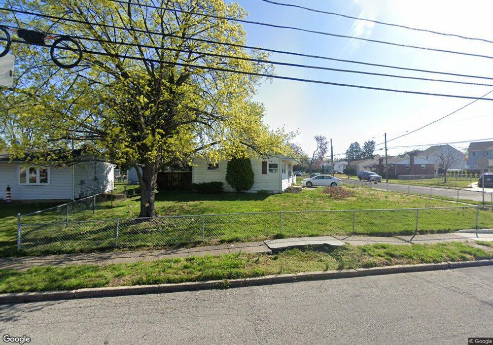
601 N Coles Ave Maple Shade, NJ 08052
Estimated Value: $268,686 - $326,000
2
Beds
1
Bath
804
Sq Ft
$374/Sq Ft
Est. Value
About This Home
This home is located at 601 N Coles Ave, Maple Shade, NJ 08052 and is currently estimated at $300,922, approximately $374 per square foot. 601 N Coles Ave is a home located in Burlington County with nearby schools including Ralph J Steinhauer Elementary School, Maude M. Wilkins Elementary School, and Howard R Yocum School.
Ownership History
Date
Name
Owned For
Owner Type
Purchase Details
Closed on
Oct 30, 2006
Sold by
Griffith William K and Griffith Alfred T
Bought by
Oconnor Beth
Current Estimated Value
Home Financials for this Owner
Home Financials are based on the most recent Mortgage that was taken out on this home.
Original Mortgage
$156,510
Outstanding Balance
$93,200
Interest Rate
6.33%
Mortgage Type
Purchase Money Mortgage
Estimated Equity
$207,722
Purchase Details
Closed on
Aug 18, 1995
Sold by
Ruggero Benjamin
Bought by
Griffith William K and Griffith Alfred T
Create a Home Valuation Report for This Property
The Home Valuation Report is an in-depth analysis detailing your home's value as well as a comparison with similar homes in the area
Home Values in the Area
Average Home Value in this Area
Purchase History
| Date | Buyer | Sale Price | Title Company |
|---|---|---|---|
| Oconnor Beth | $173,900 | Weichert Title Agency | |
| Griffith William K | $76,000 | Surety Title Corporation |
Source: Public Records
Mortgage History
| Date | Status | Borrower | Loan Amount |
|---|---|---|---|
| Open | Oconnor Beth | $156,510 |
Source: Public Records
Tax History
| Year | Tax Paid | Tax Assessment Tax Assessment Total Assessment is a certain percentage of the fair market value that is determined by local assessors to be the total taxable value of land and additions on the property. | Land | Improvement |
|---|---|---|---|---|
| 2025 | $4,324 | $113,900 | $49,400 | $64,500 |
| 2024 | $4,198 | $113,900 | $49,400 | $64,500 |
| 2023 | $4,198 | $113,900 | $49,400 | $64,500 |
| 2022 | $4,133 | $113,900 | $49,400 | $64,500 |
| 2021 | $4,094 | $113,900 | $49,400 | $64,500 |
| 2020 | $4,105 | $113,900 | $49,400 | $64,500 |
| 2019 | $3,955 | $113,900 | $49,400 | $64,500 |
| 2018 | $3,886 | $113,900 | $49,400 | $64,500 |
| 2017 | $3,841 | $113,900 | $49,400 | $64,500 |
| 2016 | $3,784 | $113,900 | $49,400 | $64,500 |
| 2015 | $3,702 | $113,900 | $49,400 | $64,500 |
| 2014 | $3,589 | $113,900 | $49,400 | $64,500 |
Source: Public Records
Map
Nearby Homes
- 27 Indian Queen Ln
- 331 Collins Ln
- 48 5th Ave
- 400 N Forklanding Rd
- 2819 Haddonfield Rd
- 3120 Route 73 N
- 8315 Stockton Ave
- 8539 Bryn Mawr Ave
- 8201 Weymouth Dr
- 8661 Wyndam Rd
- 207 E Park Ave
- 712 E Woodlawn Ave
- 8323 Maple Ave
- 411 A3 Stiles Ave Unit A-3
- 411 C12 Stiles Ave Unit C-12
- 411 A2 Stiles Ave Unit A-2
- 411 N Stiles Ave Unit B9
- 5 Exeter Place
- 35 Farnsworth Ave
- 3220 Gladwyn Ave
Your Personal Tour Guide
Ask me questions while you tour the home.