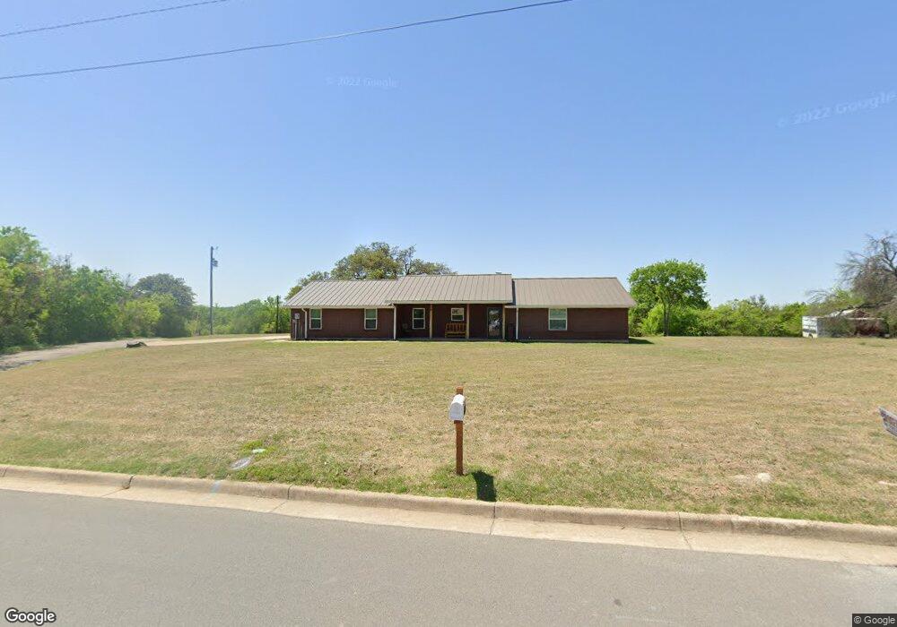
601 N Mill St Weatherford, TX 76086
Estimated Value: $302,000 - $325,000
--
Bed
--
Bath
1,299
Sq Ft
$240/Sq Ft
Est. Value
About This Home
This home is located at 601 N Mill St, Weatherford, TX 76086 and is currently estimated at $311,757, approximately $239 per square foot. 601 N Mill St is a home located in Parker County with nearby schools including Seguin Elementary School, Tison Middle School, and Weatherford High School.
Ownership History
Date
Name
Owned For
Owner Type
Purchase Details
Closed on
Sep 21, 2018
Sold by
Bush William D and Bush Leilani D
Bought by
Brother Mark P and Brothers Revocable Livi Mark P
Current Estimated Value
Purchase Details
Closed on
Feb 10, 2012
Sold by
Bruton Herma Joyce
Bought by
Bush William D and Bush Leilani D
Home Financials for this Owner
Home Financials are based on the most recent Mortgage that was taken out on this home.
Original Mortgage
$123,000
Interest Rate
3.95%
Mortgage Type
VA
Purchase Details
Closed on
Mar 19, 1996
Sold by
Miliara Faye Jean
Bought by
Bush William D and Bush Leilani D
Purchase Details
Closed on
Dec 19, 1991
Bought by
Bush William D and Bush Leilani D
Purchase Details
Closed on
Jan 1, 1901
Bought by
Bush William D and Bush Leilani D
Create a Home Valuation Report for This Property
The Home Valuation Report is an in-depth analysis detailing your home's value as well as a comparison with similar homes in the area
Home Values in the Area
Average Home Value in this Area
Purchase History
| Date | Buyer | Sale Price | Title Company |
|---|---|---|---|
| Brother Mark P | -- | Sewell Title Co | |
| Bush William D | -- | None Available | |
| Bush William D | -- | -- | |
| Bush William D | -- | -- | |
| Bush William D | -- | -- |
Source: Public Records
Mortgage History
| Date | Status | Borrower | Loan Amount |
|---|---|---|---|
| Previous Owner | Bush William D | $123,000 |
Source: Public Records
Tax History Compared to Growth
Tax History
| Year | Tax Paid | Tax Assessment Tax Assessment Total Assessment is a certain percentage of the fair market value that is determined by local assessors to be the total taxable value of land and additions on the property. | Land | Improvement |
|---|---|---|---|---|
| 2025 | $1,799 | $276,376 | -- | -- |
| 2024 | $1,799 | $251,251 | -- | -- |
| 2023 | $1,799 | $228,410 | $0 | $0 |
| 2022 | $4,606 | $207,650 | $25,000 | $182,650 |
| 2021 | $4,804 | $207,650 | $25,000 | $182,650 |
| 2020 | $4,394 | $181,870 | $25,000 | $156,870 |
| 2019 | $4,644 | $181,870 | $25,000 | $156,870 |
| 2018 | $3,905 | $152,240 | $25,000 | $127,240 |
| 2017 | $4,006 | $152,240 | $25,000 | $127,240 |
| 2016 | $3,620 | $137,560 | $25,000 | $112,560 |
| 2015 | $0 | $137,560 | $25,000 | $112,560 |
| 2014 | -- | $110,700 | $25,000 | $85,700 |
Source: Public Records
Map
Nearby Homes
- 606 N Mill St
- 710 Narrow St
- 752 Common St
- 910 Liberty St
- 210 Legacy Blvd
- 202 Legacy Blvd
- 507 N Rusk St
- 225 Legacy Blvd
- 313 Throckmorton St
- 309 Soward Ave
- 1008 Van Winkle St
- 1014 King St
- 714 N Walnut St
- 707 N Walnut St
- 817 E 2nd St
- 109 N Mill St
- 801 E 3rd St
- 1211 Van Winkle St
- 505 E 4th St
- 506 E 5th St