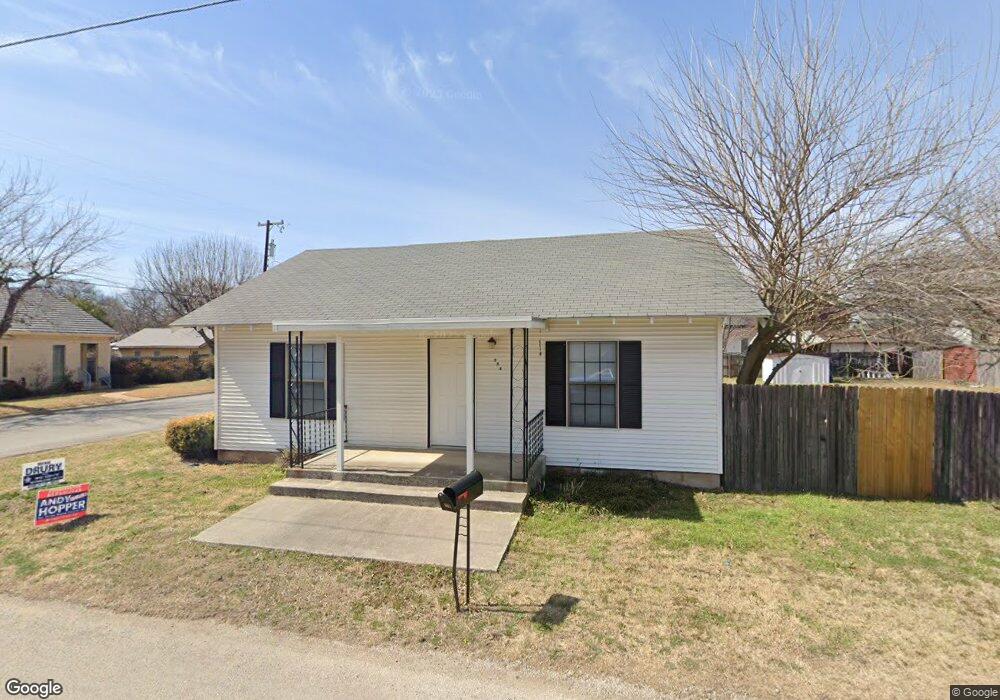
601 N Miller St Decatur, TX 76234
Estimated Value: $189,909 - $215,000
--
Bed
--
Bath
1,172
Sq Ft
$178/Sq Ft
Est. Value
About This Home
This home is located at 601 N Miller St, Decatur, TX 76234 and is currently estimated at $208,227, approximately $177 per square foot. 601 N Miller St is a home located in Wise County with nearby schools including Decatur High School and Victory Christian Academy.
Ownership History
Date
Name
Owned For
Owner Type
Purchase Details
Closed on
Aug 5, 2014
Sold by
Williams Waymon D
Bought by
Williams Judy H and Williams Waymon D
Current Estimated Value
Purchase Details
Closed on
Sep 14, 2004
Sold by
Keener Bryan W and Keener Kayce C
Bought by
Williams Waymon Deceased and Williams Judy
Purchase Details
Closed on
Sep 11, 2000
Sold by
Ogle Eric and Ogle Amber
Bought by
Williams Waymon Deceased and Williams Judy
Purchase Details
Closed on
Oct 18, 1999
Sold by
Hehls Carolyn S
Bought by
Williams Waymon Deceased and Williams Judy
Purchase Details
Closed on
Aug 30, 1996
Bought by
Williams Waymon Deceased and Williams Judy
Purchase Details
Closed on
Feb 8, 1988
Bought by
Williams Waymon Deceased and Williams Judy
Create a Home Valuation Report for This Property
The Home Valuation Report is an in-depth analysis detailing your home's value as well as a comparison with similar homes in the area
Home Values in the Area
Average Home Value in this Area
Purchase History
| Date | Buyer | Sale Price | Title Company |
|---|---|---|---|
| Williams Judy H | -- | None Available | |
| Williams Waymon Deceased | -- | -- | |
| Williams Waymon Deceased | -- | -- | |
| Williams Waymon Deceased | -- | -- | |
| Williams Waymon Deceased | -- | -- | |
| Williams Waymon Deceased | -- | -- |
Source: Public Records
Tax History Compared to Growth
Tax History
| Year | Tax Paid | Tax Assessment Tax Assessment Total Assessment is a certain percentage of the fair market value that is determined by local assessors to be the total taxable value of land and additions on the property. | Land | Improvement |
|---|---|---|---|---|
| 2025 | $837 | $145,504 | -- | -- |
| 2024 | $837 | $132,276 | $0 | $0 |
| 2023 | $2,181 | $120,251 | $0 | $0 |
| 2022 | $2,394 | $109,319 | $0 | $0 |
| 2021 | $2,268 | $120,120 | $37,690 | $82,430 |
| 2020 | $2,119 | $106,280 | $35,260 | $71,020 |
| 2019 | $2,036 | $98,880 | $35,260 | $63,620 |
| 2018 | $1,931 | $81,280 | $12,140 | $69,140 |
| 2017 | $1,762 | $67,880 | $12,140 | $55,740 |
| 2016 | $1,695 | $65,320 | $12,140 | $53,180 |
| 2015 | -- | $60,560 | $12,140 | $48,420 |
| 2014 | -- | $61,150 | $12,140 | $49,010 |
Source: Public Records
Map
Nearby Homes
- 700 N Church St
- 802 N Church St
- 602 N Cates St
- 903 N Miller St
- 114 Sondra Lin Blvd
- 307 E Vernon St
- TBD Farm To Market 51
- 1 S Martin Extension
- 407 N Lane St
- 304 Cyndilu Ln
- 305 E Shoemaker St
- 506 E Main St
- 401 S Holman St
- 606 W Mulberry St
- 709 S Church St
- 601 W Brady St
- 805 Hollyn Dr
- 809 Hollyn Dr
- 813 Hollyn Dr
- 204 W Collins St
- 603 N Miller St
- 202 E Cottonwood St
- 600 N Church St
- 300 E Cottonwood St
- 204 E Elm St
- 606 N Church St
- 506 N Miller St
- 508 N Church St
- 303 E Cottonwood St
- 504 N Church St
- 302 E Cottonwood St
- 201 E Cottonwood St
- 203 E Cottonwood St
- 502 N Miller St
- 305 E Cottonwood St
- 502 N Church St
- 601 N Church St
- 702 N Church St
- 500 N Miller St
- 703 N Miller St