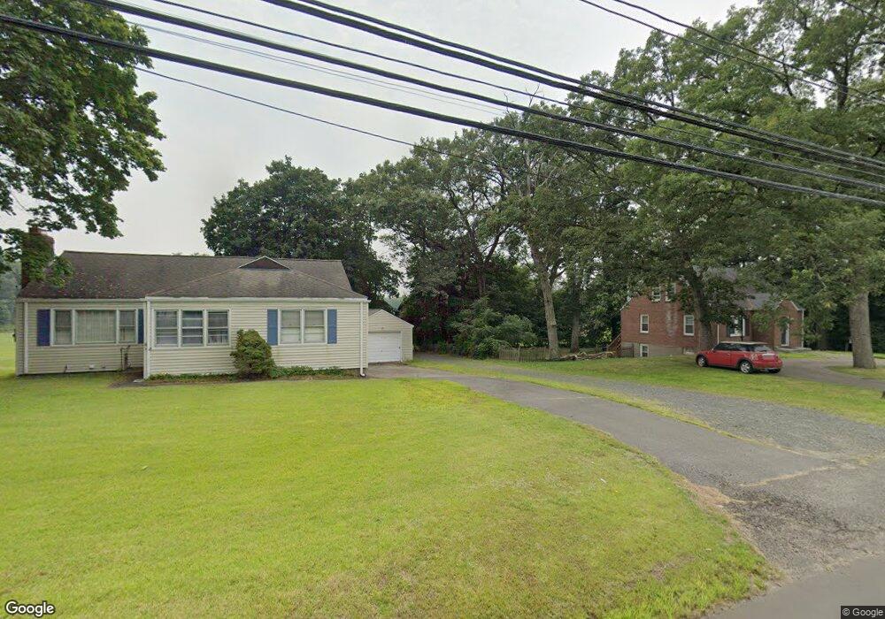
601 Park Ave Windsor, CT 06095
West Windsor NeighborhoodEstimated Value: $338,249 - $409,000
2
Beds
2
Baths
1,344
Sq Ft
$270/Sq Ft
Est. Value
About This Home
This home is located at 601 Park Ave, Windsor, CT 06095 and is currently estimated at $362,812, approximately $269 per square foot. 601 Park Ave is a home located in Hartford County with nearby schools including Poquonock Elementary School, Clover Street School, and Sage Park Middle School.
Ownership History
Date
Name
Owned For
Owner Type
Purchase Details
Closed on
Mar 30, 1998
Sold by
Mocarsky Thomas
Bought by
Hopkinson Hl
Current Estimated Value
Home Financials for this Owner
Home Financials are based on the most recent Mortgage that was taken out on this home.
Original Mortgage
$85,000
Outstanding Balance
$16,559
Interest Rate
7.75%
Mortgage Type
Purchase Money Mortgage
Estimated Equity
$346,253
Create a Home Valuation Report for This Property
The Home Valuation Report is an in-depth analysis detailing your home's value as well as a comparison with similar homes in the area
Home Values in the Area
Average Home Value in this Area
Purchase History
| Date | Buyer | Sale Price | Title Company |
|---|---|---|---|
| Hopkinson Hl | $121,500 | -- | |
| Mocarsky Thomas | $121,500 | -- |
Source: Public Records
Mortgage History
| Date | Status | Borrower | Loan Amount |
|---|---|---|---|
| Open | Mocarsky Thomas | $85,000 | |
| Previous Owner | Mocarsky Thomas | $94,000 | |
| Previous Owner | Mocarsky Thomas | $80,000 |
Source: Public Records
Tax History
| Year | Tax Paid | Tax Assessment Tax Assessment Total Assessment is a certain percentage of the fair market value that is determined by local assessors to be the total taxable value of land and additions on the property. | Land | Improvement |
|---|---|---|---|---|
| 2025 | $5,582 | $196,210 | $76,160 | $120,050 |
| 2024 | $5,949 | $196,210 | $76,160 | $120,050 |
| 2023 | $4,429 | $131,810 | $58,800 | $73,010 |
| 2022 | $4,385 | $131,810 | $58,800 | $73,010 |
| 2021 | $4,385 | $131,810 | $58,800 | $73,010 |
| 2020 | $4,364 | $131,810 | $58,800 | $73,010 |
| 2019 | $4,268 | $131,810 | $58,800 | $73,010 |
| 2018 | $4,284 | $129,990 | $58,800 | $71,190 |
| 2017 | $4,218 | $129,990 | $58,800 | $71,190 |
| 2016 | $4,097 | $129,990 | $58,800 | $71,190 |
| 2015 | $4,019 | $129,990 | $58,800 | $71,190 |
| 2014 | $3,961 | $129,990 | $58,800 | $71,190 |
Source: Public Records
Map
Nearby Homes
- 76 Lincoln Way
- 60 Nod Rd
- 25 Matthew Ln
- 27 April Way
- 29 Privilege Rd
- 2 Sandra Dr
- 73 Abbey Ln
- 23 Farmstead Cir
- 1130 Blue Hills Ave
- 17 Forest Ln
- 53 Farmstead Cir
- 932 Worthy St
- 1035 N Worthy St
- 94 Ludlow Rd
- 27 Fyler Dr
- 1083 Blue Hills Ave Unit G
- 318 Capen St
- 342 Capen St
- 1211R Blue Hills Ave
- 1220 Blue Hills Ave
Your Personal Tour Guide
Ask me questions while you tour the home.