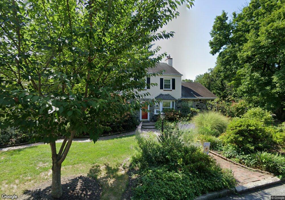
601 Parrish Rd Swarthmore, PA 19081
Estimated Value: $586,000 - $723,000
3
Beds
3
Baths
1,884
Sq Ft
$352/Sq Ft
Est. Value
About This Home
This home is located at 601 Parrish Rd, Swarthmore, PA 19081 and is currently estimated at $662,834, approximately $351 per square foot. 601 Parrish Rd is a home located in Delaware County with nearby schools including Swarthmore-Rutledge School, Strath Haven Middle School, and Strath Haven High School.
Ownership History
Date
Name
Owned For
Owner Type
Purchase Details
Closed on
Dec 16, 2005
Sold by
Sanger Joseph W and Sanger Jean M
Bought by
Wells Stanley P and Wells Nancy J
Current Estimated Value
Home Financials for this Owner
Home Financials are based on the most recent Mortgage that was taken out on this home.
Original Mortgage
$120,000
Outstanding Balance
$67,927
Interest Rate
6.39%
Mortgage Type
Credit Line Revolving
Estimated Equity
$594,907
Create a Home Valuation Report for This Property
The Home Valuation Report is an in-depth analysis detailing your home's value as well as a comparison with similar homes in the area
Home Values in the Area
Average Home Value in this Area
Purchase History
| Date | Buyer | Sale Price | Title Company |
|---|---|---|---|
| Wells Stanley P | $364,900 | None Available |
Source: Public Records
Mortgage History
| Date | Status | Borrower | Loan Amount |
|---|---|---|---|
| Open | Wells Stanley P | $120,000 | |
| Closed | Wells Stanley P | $165,000 |
Source: Public Records
Tax History
| Year | Tax Paid | Tax Assessment Tax Assessment Total Assessment is a certain percentage of the fair market value that is determined by local assessors to be the total taxable value of land and additions on the property. | Land | Improvement |
|---|---|---|---|---|
| 2025 | $13,621 | $377,970 | $153,720 | $224,250 |
| 2024 | $13,621 | $377,970 | $153,720 | $224,250 |
| 2023 | $13,093 | $377,970 | $153,720 | $224,250 |
| 2022 | $12,746 | $377,970 | $153,720 | $224,250 |
| 2021 | $20,760 | $377,970 | $153,720 | $224,250 |
| 2020 | $13,799 | $236,520 | $114,630 | $121,890 |
| 2019 | $13,451 | $236,520 | $114,630 | $121,890 |
| 2018 | $13,229 | $236,520 | $0 | $0 |
| 2017 | $12,932 | $236,520 | $0 | $0 |
| 2016 | $1,298 | $236,520 | $0 | $0 |
| 2015 | $1,298 | $236,520 | $0 | $0 |
| 2014 | $1,298 | $236,520 | $0 | $0 |
Source: Public Records
Map
Nearby Homes
- 519 Walnut Ln Unit 1
- 1588 Nicklaus Dr Unit H65
- 1433 Country Club Dr Unit T214
- 1299 Country Club Dr Unit Q141
- 1291 Country Club Dr Unit Q137
- 131 Dartmouth Ave
- 110 Park Ave Unit 370
- 110 Park Ave Unit 350
- 110 Park Ave Unit 250
- 110 Park Ave Unit 320
- 110 Park Ave Unit 220
- 110 Park Ave Unit 430
- 110 Park Ave Unit 340
- 493 Wheatsheaf Rd
- 411 Marie Dr
- 339 Plush Mill Rd
- 603 Harvard Ave
- 103 Avonbrook Rd
- 364 S Rolling Rd
- 630 Yale Ave
Your Personal Tour Guide
Ask me questions while you tour the home.