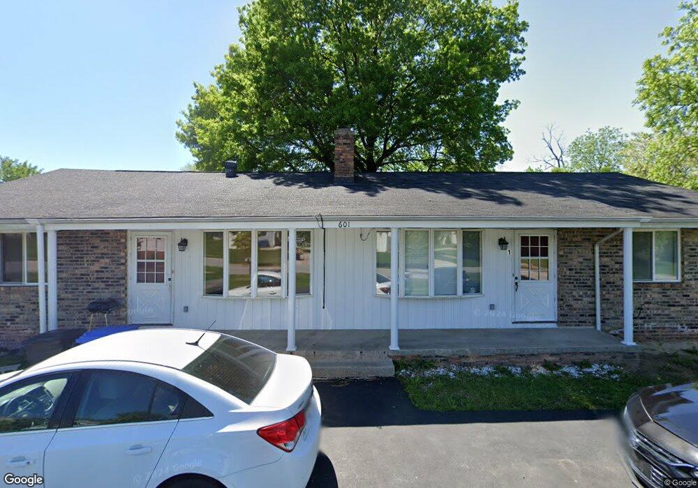
601 Pratt St Crown Point, IN 46307
Estimated Value: $387,000 - $430,000
7
Beds
4
Baths
1,891
Sq Ft
$216/Sq Ft
Est. Value
About This Home
This home is located at 601 Pratt St, Crown Point, IN 46307 and is currently estimated at $408,500, approximately $216 per square foot. 601 Pratt St is a home located in Lake County with nearby schools including Timothy Ball Elementary School, Robert Taft Middle School, and Crown Point High School.
Ownership History
Date
Name
Owned For
Owner Type
Purchase Details
Closed on
Dec 21, 2012
Sold by
Born Investment Group
Bought by
Lake County Trust
Current Estimated Value
Purchase Details
Closed on
Jul 22, 2005
Sold by
Rice Kenneth G and Rice Kenneth
Bought by
Mcdermott Aaron
Home Financials for this Owner
Home Financials are based on the most recent Mortgage that was taken out on this home.
Original Mortgage
$211,500
Interest Rate
7.05%
Mortgage Type
Commercial
Create a Home Valuation Report for This Property
The Home Valuation Report is an in-depth analysis detailing your home's value as well as a comparison with similar homes in the area
Home Values in the Area
Average Home Value in this Area
Purchase History
| Date | Buyer | Sale Price | Title Company |
|---|---|---|---|
| Lake County Trust | -- | -- | |
| Born Investment Group | -- | -- | |
| Mcdermott Aaron | -- | Chicago Title Insurance Comp |
Source: Public Records
Mortgage History
| Date | Status | Borrower | Loan Amount |
|---|---|---|---|
| Previous Owner | Mcdermott Aaron | $211,500 |
Source: Public Records
Tax History
| Year | Tax Paid | Tax Assessment Tax Assessment Total Assessment is a certain percentage of the fair market value that is determined by local assessors to be the total taxable value of land and additions on the property. | Land | Improvement |
|---|---|---|---|---|
| 2025 | $5,625 | $298,200 | $60,300 | $237,900 |
| 2024 | $5,625 | $275,300 | $60,300 | $215,000 |
| 2023 | $5,580 | $252,900 | $60,300 | $192,600 |
| 2022 | $5,357 | $242,400 | $60,300 | $182,100 |
| 2021 | $5,178 | $234,300 | $50,300 | $184,000 |
| 2020 | $5,213 | $235,900 | $50,300 | $185,600 |
| 2019 | $5,126 | $229,900 | $50,300 | $179,600 |
| 2018 | $5,738 | $311,400 | $50,300 | $261,100 |
| 2017 | $7,878 | $303,600 | $50,300 | $253,300 |
| 2016 | $7,680 | $290,800 | $50,300 | $240,500 |
| 2014 | $7,296 | $293,600 | $50,200 | $243,400 |
| 2013 | $7,247 | $288,200 | $50,200 | $238,000 |
Source: Public Records
Map
Nearby Homes
- 301 Hoffman St
- 600 W North St
- 619 W North St
- 767 Kenmare Pkwy
- 306 Holton Ridge
- 771 Kenmare Pkwy
- 740 Meadow Ln
- 114 S Chase Dr
- 121 N West St Unit 22
- 0 W Joliet St
- 138 S Chase Dr
- 825 N Sherman St
- 7770 W 106th Ln
- 900 Easy St
- 314 Hoffman Ct
- 324 Maple St
- 316 Oak Cir
- 11200 Oak Ridge Ct
- 516 E North St
- 512 W South St
- 619 Pratt St
- 545 W Monitor St
- 540 W Monitor St
- 535 W Monitor St
- 500 Pratt St
- 510 W Goldsboro St
- 415 Pratt St
- 510 W Goldsborough St
- 530 W Monitor St
- 525 W Monitor St
- 500 W Goldsboro St
- 500 W Goldsborough St
- 411 Pratt St
- 520 W Monitor St
- 515 W Goldsborough St
- 515 W Monitor St
- 450 W Goldsborough St
- 450 W Goldsboro St
- 408 Pratt St
- 510 W Monitor St
Your Personal Tour Guide
Ask me questions while you tour the home.