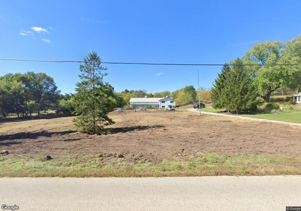
601 S Cushing Park Rd Delafield, WI 53018
Estimated Value: $482,000 - $617,000
Studio
--
Bath
--
Sq Ft
187,744
Sq Ft Lot
About This Home
This home is located at 601 S Cushing Park Rd, Delafield, WI 53018 and is currently estimated at $550,716. 601 S Cushing Park Rd is a home with nearby schools including Cushing Elementary School, Kettle Moraine Middle School, and Kettle Moraine High School.
Ownership History
Date
Name
Owned For
Owner Type
Purchase Details
Closed on
Jun 15, 2007
Sold by
Rumpf Susanne
Bought by
Enright Kevin J
Current Estimated Value
Home Financials for this Owner
Home Financials are based on the most recent Mortgage that was taken out on this home.
Original Mortgage
$280,000
Outstanding Balance
$171,423
Interest Rate
6.2%
Mortgage Type
Purchase Money Mortgage
Estimated Equity
$379,293
Create a Home Valuation Report for This Property
The Home Valuation Report is an in-depth analysis detailing your home's value as well as a comparison with similar homes in the area
Home Values in the Area
Average Home Value in this Area
Purchase History
| Date | Buyer | Sale Price | Title Company |
|---|---|---|---|
| Enright Kevin J | $350,000 | None Available |
Source: Public Records
Mortgage History
| Date | Status | Borrower | Loan Amount |
|---|---|---|---|
| Open | Enright Kevin J | $280,000 |
Source: Public Records
Tax History
| Year | Tax Paid | Tax Assessment Tax Assessment Total Assessment is a certain percentage of the fair market value that is determined by local assessors to be the total taxable value of land and additions on the property. | Land | Improvement |
|---|---|---|---|---|
| 2024 | $4,982 | $361,200 | $144,900 | $216,300 |
| 2023 | $4,825 | $361,100 | $144,800 | $216,300 |
| 2022 | $4,346 | $361,100 | $144,800 | $216,300 |
| 2021 | $4,466 | $289,500 | $121,600 | $167,900 |
| 2020 | $4,540 | $289,600 | $121,700 | $167,900 |
| 2019 | $4,314 | $289,600 | $121,700 | $167,900 |
| 2018 | $4,216 | $289,500 | $121,600 | $167,900 |
| 2017 | $4,208 | $289,500 | $121,600 | $167,900 |
| 2016 | $4,273 | $289,500 | $121,600 | $167,900 |
| 2015 | $4,437 | $289,500 | $121,600 | $167,900 |
| 2014 | $4,637 | $289,500 | $121,600 | $167,900 |
| 2013 | $4,637 | $290,300 | $123,600 | $166,700 |
Source: Public Records
Map
Nearby Homes
- 323 Riverview Dr
- 311 S Lapham Peak Rd Unit 13
- 1001 Park Way
- 1026 Park Way
- 762 N Forest Ridge Ct
- W339S271 Foxtail Ct
- 805 Wells St Unit 4
- 805 Wells St Unit 2
- 805 Wells St Unit 3
- 805 Wells St Unit 1
- 545 Wisconsin Ave
- 716 Saint Johns Dr Unit 718
- 637 1st St
- S13W33800 U S 18
- 2826 Yahara Dr
- 609 Frontier Ct Unit Lt1 left
- N1W31286 Hickory Hollow Ct
- W331N3460 Maplewood Rd
- 1855 River Lakes Rd S
- 2874 Kegonsa Dr
- 66 W Cedar Valley Rd
- 34 W Cedar Valley Rd
- 102 W Cedar Valley Rd
- 87 Steeple Pointe Dr
- 167 Steeple Pointe Ct
- 143 Steeple Pointe Ct
- 138 W Cedar Valley Rd
- 125 Steeple Pointe Ct
- 162 W Cedar Valley Rd
- 185 Steeple Pointe Ct
- 41 W Cedar Valley Rd
- 101 W Cedar Valley Rd
- 66 Meadow Ln
- 118 Steeple Pointe Dr
- 201 Steeple Pointe Ct
- 204 W Cedar Valley Rd
- 217 Steeple Pointe Ct
- 164 Steeple Pointe Dr
- 181 W Cedar Valley Rd
- 212 Steeple Pointe Dr
Your Personal Tour Guide
Ask me questions while you tour the home.