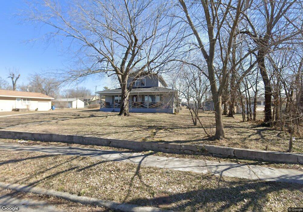
601 S Roney St Carl Junction, MO 64834
Estimated Value: $149,000 - $201,000
5
Beds
3
Baths
1,976
Sq Ft
$86/Sq Ft
Est. Value
About This Home
This home is located at 601 S Roney St, Carl Junction, MO 64834 and is currently estimated at $170,809, approximately $86 per square foot. 601 S Roney St is a home located in Jasper County with nearby schools including Carl Junction Primary School (K-1), Carl Junction Intermediate School, and Carl Junction Primary School (2-3).
Ownership History
Date
Name
Owned For
Owner Type
Purchase Details
Closed on
Jan 29, 2010
Sold by
Dennen Stacey L and Dennen Celesta J
Bought by
Jones Lori M and Jones Jacob L
Current Estimated Value
Home Financials for this Owner
Home Financials are based on the most recent Mortgage that was taken out on this home.
Original Mortgage
$133,367
Outstanding Balance
$87,790
Interest Rate
5.08%
Mortgage Type
New Conventional
Estimated Equity
$83,019
Create a Home Valuation Report for This Property
The Home Valuation Report is an in-depth analysis detailing your home's value as well as a comparison with similar homes in the area
Home Values in the Area
Average Home Value in this Area
Purchase History
| Date | Buyer | Sale Price | Title Company |
|---|---|---|---|
| Jones Lori M | -- | Barrister Title Services Llc |
Source: Public Records
Mortgage History
| Date | Status | Borrower | Loan Amount |
|---|---|---|---|
| Open | Jones Lori M | $133,367 |
Source: Public Records
Tax History Compared to Growth
Tax History
| Year | Tax Paid | Tax Assessment Tax Assessment Total Assessment is a certain percentage of the fair market value that is determined by local assessors to be the total taxable value of land and additions on the property. | Land | Improvement |
|---|---|---|---|---|
| 2025 | $882 | $17,100 | $1,060 | $16,040 |
| 2024 | $882 | $15,070 | $1,060 | $14,010 |
| 2023 | $887 | $15,070 | $1,060 | $14,010 |
| 2022 | $888 | $15,050 | $1,060 | $13,990 |
| 2021 | $762 | $15,050 | $1,060 | $13,990 |
| 2020 | $710 | $13,780 | $1,060 | $12,720 |
| 2019 | $674 | $13,780 | $1,060 | $12,720 |
| 2018 | $706 | $14,460 | $0 | $0 |
| 2017 | $707 | $14,460 | $0 | $0 |
| 2016 | $701 | $14,460 | $0 | $0 |
| 2015 | $50 | $4,380 | $0 | $0 |
| 2014 | $50 | $1,060 | $0 | $0 |
Source: Public Records
Map
Nearby Homes
- 114 W Walton Ave
- TBD S Roney St
- 408 W Walton Ave
- 409 W Gault St
- 409 Gault St
- 311 S Roney St
- 505 W Walton Ave
- 802 Aberdeen Ave
- 205 Allen St
- 106 S Roney St
- 503 Valley View
- 105 Summit St
- 819 Delaney Dr
- 815 Delaney Dr
- 720 Sheridan Ave
- Tract 3 Prairie Ln
- Tract 2 Prairie Ln
- Tract 1 Prairie Ln
- Tract 4 Prairie Ln
- 803 Aberdeen Ave
- 515 S Roney St
- 511 S Roney St
- 602 S Cowgill St
- 606 S Roney St
- 217 Walton St
- 213 Walton St
- 608 S Cowgill St
- 608 S Roney St
- 608 S Roney St Unit 1
- 516 S Cowgill St
- 516 S Roney St
- 217 W Walton Ave
- 612 S Roney St
- 612 S Cowgill St
- 509 S Roney St
- 512 S Cowgill St
- 610 S Cowgill St
- 512 S Roney St
- 512 S Roney St
- 505 S Roney St Unit 1