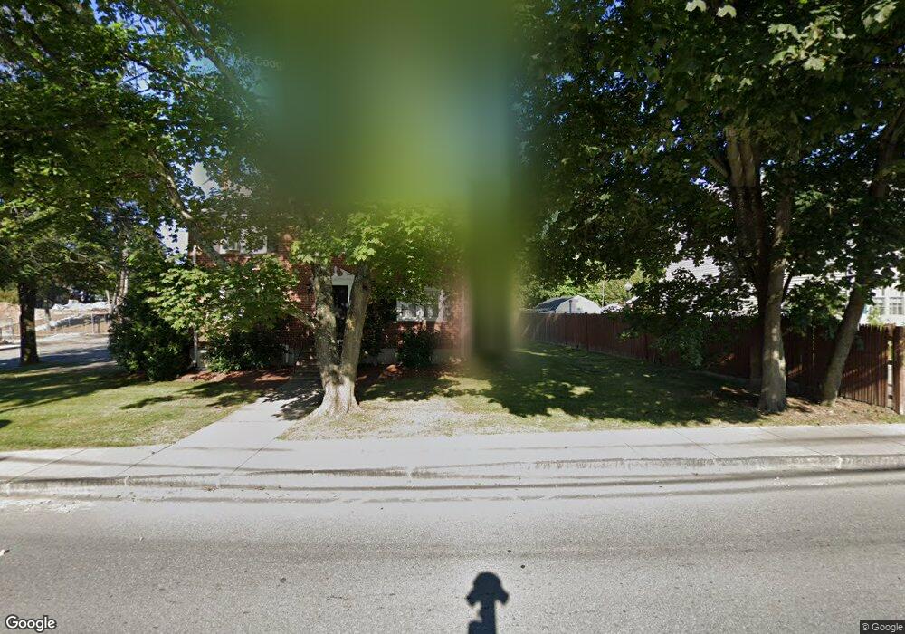
601 South St Unit 603 Waltham, MA 02453
Roberts NeighborhoodEstimated Value: $1,039,000 - $1,235,046
6
Beds
6
Baths
2,456
Sq Ft
$466/Sq Ft
Est. Value
About This Home
This home is located at 601 South St Unit 603, Waltham, MA 02453 and is currently estimated at $1,144,012, approximately $465 per square foot. 601 South St Unit 603 is a home located in Middlesex County with nearby schools including William F. Stanley Elementary School, John W. Mcdevitt Middle School, and Waltham Sr High School.
Ownership History
Date
Name
Owned For
Owner Type
Purchase Details
Closed on
Apr 26, 2002
Sold by
White Joseph P
Bought by
Macleod Dana H
Current Estimated Value
Home Financials for this Owner
Home Financials are based on the most recent Mortgage that was taken out on this home.
Original Mortgage
$391,920
Outstanding Balance
$166,889
Interest Rate
7.05%
Mortgage Type
Purchase Money Mortgage
Estimated Equity
$977,123
Create a Home Valuation Report for This Property
The Home Valuation Report is an in-depth analysis detailing your home's value as well as a comparison with similar homes in the area
Home Values in the Area
Average Home Value in this Area
Purchase History
| Date | Buyer | Sale Price | Title Company |
|---|---|---|---|
| Macleod Dana H | $489,900 | -- |
Source: Public Records
Mortgage History
| Date | Status | Borrower | Loan Amount |
|---|---|---|---|
| Open | Macleod Dana H | $391,920 |
Source: Public Records
Tax History Compared to Growth
Tax History
| Year | Tax Paid | Tax Assessment Tax Assessment Total Assessment is a certain percentage of the fair market value that is determined by local assessors to be the total taxable value of land and additions on the property. | Land | Improvement |
|---|---|---|---|---|
| 2025 | $9,095 | $926,200 | $453,600 | $472,600 |
| 2024 | $8,417 | $873,100 | $445,200 | $427,900 |
| 2023 | $8,300 | $804,300 | $403,200 | $401,100 |
| 2022 | $8,416 | $755,500 | $369,600 | $385,900 |
| 2021 | $8,155 | $720,400 | $369,600 | $350,800 |
| 2020 | $8,035 | $672,400 | $344,400 | $328,000 |
| 2019 | $7,499 | $592,300 | $324,800 | $267,500 |
| 2018 | $6,879 | $545,500 | $300,700 | $244,800 |
| 2017 | $6,514 | $518,600 | $273,800 | $244,800 |
| 2016 | $6,286 | $513,600 | $268,800 | $244,800 |
| 2015 | $5,805 | $442,100 | $235,200 | $206,900 |
Source: Public Records
Map
Nearby Homes
- 707 South St
- 130 Summer St
- 217 Summer St
- 103 Loring Rd
- 5 Cunningham Cir
- 12 Robin Rd
- 4 Willow Rd
- 145 Virginia Rd
- 209 Riverview Ave Unit 29
- 60 Rolling Ln
- 219 Melrose St Unit 1
- 61 Boynton St
- 217 Melrose St Unit 217
- 2202 Commonwealth Ave Unit 2
- 2202 Commonwealth Ave Unit 1
- 56 Cart Path Rd
- 15 Dorchester St
- 5-7 Chester Ave
- 101-103 Lexington St
- 215 Boston Post Rd
- 601 South St Unit 1
- 601 South St Unit A
- 595 South St
- 9 Sunnyside St
- 15 Sunnyside St
- 591 South St
- 6 Charlesbank Way Unit c
- 8 Charlesbank Way Unit A
- 585 South St
- 26 Morton St
- 22 Morton St Unit 24
- 22 Morton St Unit 2
- 16 Morton St
- 12 Hartwell St Unit B
- 10 Hartwell St Unit A
- 10 Hartwell St Unit B
- 12 Hartwell St Unit A
- 12 Morton St
- 12 Morton St Unit 12
- 14 Hartwell St Unit B