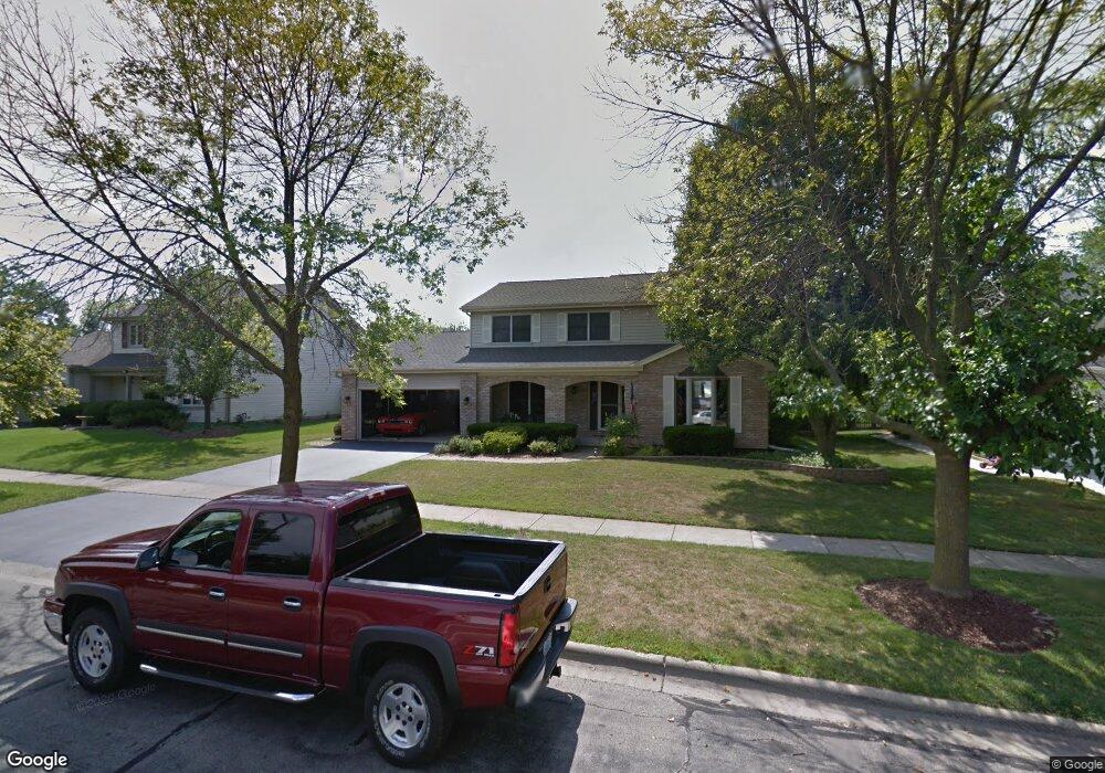
601 Stuart Dr Carol Stream, IL 60188
Estimated Value: $508,000 - $555,000
4
Beds
3
Baths
2,571
Sq Ft
$204/Sq Ft
Est. Value
About This Home
This home is located at 601 Stuart Dr, Carol Stream, IL 60188 and is currently estimated at $525,721, approximately $204 per square foot. 601 Stuart Dr is a home located in DuPage County with nearby schools including Roy De Shane Elementary School, Stratford Middle School, and Glenbard North High School.
Ownership History
Date
Name
Owned For
Owner Type
Purchase Details
Closed on
Nov 25, 2013
Sold by
Gatti Cheryi L
Bought by
Gatti Cheryi L and Cheryi L Gatti Trust #001
Current Estimated Value
Purchase Details
Closed on
Mar 31, 2012
Sold by
Gatti Robert P
Bought by
Gatti Cherry L
Purchase Details
Closed on
May 24, 2001
Sold by
Getty Frederick W and Getty Rosaline M
Bought by
Gatti Robert P and Gatti Cheryi L
Home Financials for this Owner
Home Financials are based on the most recent Mortgage that was taken out on this home.
Original Mortgage
$100,000
Interest Rate
7.11%
Create a Home Valuation Report for This Property
The Home Valuation Report is an in-depth analysis detailing your home's value as well as a comparison with similar homes in the area
Home Values in the Area
Average Home Value in this Area
Purchase History
| Date | Buyer | Sale Price | Title Company |
|---|---|---|---|
| Gatti Cheryi L | -- | Fox Title Company | |
| Gatti Cherry L | -- | None Available | |
| Gatti Robert P | $291,000 | -- |
Source: Public Records
Mortgage History
| Date | Status | Borrower | Loan Amount |
|---|---|---|---|
| Closed | Gatti Robert P | $100,000 | |
| Closed | Gatti Robert P | $91,000 |
Source: Public Records
Tax History
| Year | Tax Paid | Tax Assessment Tax Assessment Total Assessment is a certain percentage of the fair market value that is determined by local assessors to be the total taxable value of land and additions on the property. | Land | Improvement |
|---|---|---|---|---|
| 2024 | $11,976 | $147,600 | $32,925 | $114,675 |
| 2023 | $11,346 | $134,980 | $30,110 | $104,870 |
| 2022 | $11,420 | $129,790 | $29,910 | $99,880 |
| 2021 | $10,898 | $123,320 | $28,420 | $94,900 |
| 2020 | $10,027 | $112,890 | $27,730 | $85,160 |
| 2019 | $9,650 | $108,490 | $26,650 | $81,840 |
| 2018 | $10,837 | $122,650 | $25,950 | $96,700 |
| 2017 | $10,261 | $113,680 | $24,050 | $89,630 |
| 2016 | $9,734 | $105,210 | $22,260 | $82,950 |
| 2015 | $9,526 | $98,180 | $20,770 | $77,410 |
| 2014 | $8,443 | $86,210 | $18,240 | $67,970 |
| 2013 | $8,485 | $89,160 | $18,860 | $70,300 |
Source: Public Records
Map
Nearby Homes
- 522 Apache Ln
- 862 Omaha Ct
- 514 Alton Ct Unit 2
- 552 Cochise Place
- 734 Colorado Ct Unit 734
- 813 Kansas St
- 403 Arrowhead Trail
- 848 Birchbark Trail
- 576 Iroquois Trail
- 992 Navajo St
- 1430 Preserve Dr Unit 29
- 1N053 Lot 1 Farwell St
- 1N063 LOT 2 Farwell St
- 1N083 LOT 4 Farwell St
- 1043 Quarry Ct Unit 11
- 1421 Preserve Dr Unit 18
- 1N073 LOT 3 Farwell St
- 1N082 LOT 6 Morse St
- 1027 Quarry Ct Unit 7
- 426 Thunderbird Trail