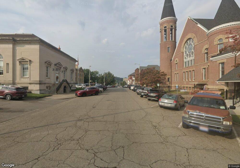
601 Twp Rd Ironton, OH 45638
Estimated Value: $126,000 - $197,000
3
Beds
1
Bath
1,456
Sq Ft
$113/Sq Ft
Est. Value
About This Home
This home is located at 601 Twp Rd, Ironton, OH 45638 and is currently estimated at $164,000, approximately $112 per square foot. 601 Twp Rd is a home with nearby schools including Rock Hill Elementary School, Rock Hill Middle School, and Rock Hill Senior High School.
Ownership History
Date
Name
Owned For
Owner Type
Purchase Details
Closed on
Nov 17, 2013
Sold by
Townsend Cecil Ray and Townsend Rita
Bought by
C R Townsend Properties Llc
Current Estimated Value
Purchase Details
Closed on
Aug 30, 1996
Sold by
Townsend Cecil Ray Clyd
Bought by
Townsend Cecil Ray and Townsend Rita A
Purchase Details
Closed on
Jan 9, 1996
Bought by
Townsend Cecil Ray Clyd
Purchase Details
Closed on
Mar 29, 1990
Sold by
Townsend Roy
Bought by
Townsend, Roy Life Est.
Create a Home Valuation Report for This Property
The Home Valuation Report is an in-depth analysis detailing your home's value as well as a comparison with similar homes in the area
Home Values in the Area
Average Home Value in this Area
Purchase History
| Date | Buyer | Sale Price | Title Company |
|---|---|---|---|
| C R Townsend Properties Llc | -- | None Available | |
| Townsend Cecil Ray | $40,000 | -- | |
| Townsend Cecil Ray Clyd | -- | -- | |
| Townsend, Roy Life Est. | -- | -- |
Source: Public Records
Tax History Compared to Growth
Tax History
| Year | Tax Paid | Tax Assessment Tax Assessment Total Assessment is a certain percentage of the fair market value that is determined by local assessors to be the total taxable value of land and additions on the property. | Land | Improvement |
|---|---|---|---|---|
| 2024 | -- | $25,490 | $2,980 | $22,510 |
| 2023 | $704 | $25,490 | $2,980 | $22,510 |
| 2022 | $701 | $25,490 | $2,980 | $22,510 |
| 2021 | $595 | $21,700 | $2,800 | $18,900 |
| 2020 | $617 | $21,700 | $2,800 | $18,900 |
| 2019 | $615 | $21,700 | $2,800 | $18,900 |
| 2018 | $618 | $21,630 | $2,800 | $18,830 |
| 2017 | $618 | $21,630 | $2,800 | $18,830 |
| 2016 | $569 | $21,630 | $2,800 | $18,830 |
| 2015 | $566 | $21,250 | $2,800 | $18,450 |
| 2014 | $565 | $21,250 | $2,800 | $18,450 |
| 2013 | $563 | $21,250 | $2,800 | $18,450 |
Source: Public Records
Map
Nearby Homes
- 0 Township Road 330 Unit 59289
- 0 Township Road 330 Unit Happy Hollow Road
- 1601 Gainesway Dr
- 101 Magnolia Ln
- 0 Cox St
- 905 Adams Ave
- 608 Wurtland Ave
- 612 Fulton Ave
- 503 Fulton Ave
- 0 Tango Ave
- 18 Tango Ave
- 19 Tango Ave
- 901 Eastern
- 401 Stewart Ave
- 0000 U S 23
- 308 Stewart Ave
- 707 State Route 503
- 11593 U S 23 Hwy
- 1224 Prospect Ave
- 612 Rogers Ave
- 227 Township Road 601
- 227 Township Road 601
- 246 Township Road 601
- 256 Township Road 601
- 0 1st St Unit COMO-6
- 0 1st St Unit 45892
- 1154 Township Road 1117
- 117 Haverhill Ohio Furnace Rd
- 0 Township Road 1117
- 185 Township Road 1117
- 153 Township Road 1117
- 591 County Road 23
- 1615 County Road 128
- 1431 County Road 128
- 656 Township Road 292
- 1861 County Road 128
- 1720 County Road 128
- 1817 County Road 128
- 1817 County Road 128
- 520 Happy Hollow
