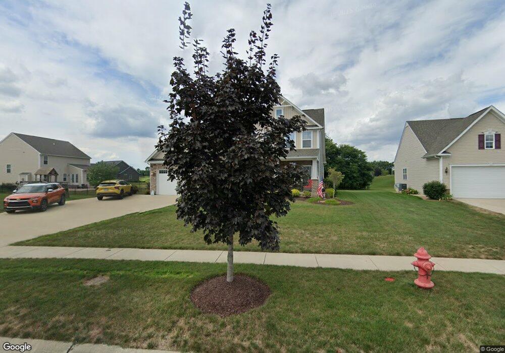
601 U s Grant St Lagrange, OH 44050
Estimated Value: $464,516 - $578,000
4
Beds
3
Baths
3,061
Sq Ft
$172/Sq Ft
Est. Value
About This Home
This home is located at 601 U s Grant St, Lagrange, OH 44050 and is currently estimated at $526,879, approximately $172 per square foot. 601 U s Grant St is a home located in Lorain County with nearby schools including Keystone Elementary School, Keystone Middle School, and Keystone High School.
Ownership History
Date
Name
Owned For
Owner Type
Purchase Details
Closed on
Jan 26, 2018
Sold by
Nvr Inc
Bought by
Bodner Gerald A and Bodner Diana L
Current Estimated Value
Home Financials for this Owner
Home Financials are based on the most recent Mortgage that was taken out on this home.
Original Mortgage
$154,900
Outstanding Balance
$131,054
Interest Rate
3.95%
Mortgage Type
New Conventional
Estimated Equity
$395,825
Purchase Details
Closed on
Sep 27, 2017
Sold by
Greyhawk Land Holdings Llc
Bought by
Nvr Inc
Purchase Details
Closed on
Oct 26, 2010
Sold by
Durham Ridge Investments Llc
Bought by
Greyhawk Land Holdings Llc
Create a Home Valuation Report for This Property
The Home Valuation Report is an in-depth analysis detailing your home's value as well as a comparison with similar homes in the area
Home Values in the Area
Average Home Value in this Area
Purchase History
| Date | Buyer | Sale Price | Title Company |
|---|---|---|---|
| Bodner Gerald A | -- | -- | |
| Nvr Inc | $26,300 | Nvr Title | |
| Greyhawk Land Holdings Llc | $19,000 | Revere Title |
Source: Public Records
Mortgage History
| Date | Status | Borrower | Loan Amount |
|---|---|---|---|
| Open | Bodner Gerald A | $154,900 |
Source: Public Records
Tax History Compared to Growth
Tax History
| Year | Tax Paid | Tax Assessment Tax Assessment Total Assessment is a certain percentage of the fair market value that is determined by local assessors to be the total taxable value of land and additions on the property. | Land | Improvement |
|---|---|---|---|---|
| 2024 | $6,834 | $161,245 | $26,250 | $134,995 |
| 2023 | $5,961 | $117,467 | $17,217 | $100,251 |
| 2022 | $5,921 | $117,467 | $17,217 | $100,251 |
| 2021 | $5,924 | $117,467 | $17,217 | $100,251 |
| 2020 | $6,082 | $107,470 | $15,750 | $91,720 |
| 2019 | $6,107 | $108,520 | $15,750 | $92,770 |
| 2018 | $875 | $15,750 | $15,750 | $0 |
| 2017 | $572 | $9,640 | $9,640 | $0 |
| 2016 | $568 | $9,640 | $9,640 | $0 |
| 2015 | $568 | $9,640 | $9,640 | $0 |
| 2014 | $529 | $10,150 | $10,150 | $0 |
| 2013 | $525 | $10,360 | $10,360 | $0 |
Source: Public Records
Map
Nearby Homes
- 800 Buckingham Dr
- 808 Buckingham Dr
- 630 Rundle St
- 822 Robinson Dr
- 831 Robinson Dr
- 829 Robinson Dr
- 40725 Biggs Rd
- 607 Rundle St
- 548 William St
- 516 Appomattox Ct
- 756 N Center St
- 128 Harvest Ct
- 433 N Center St
- 0 Dill Ct Unit 5072837
- 194 Railroad St
- 171 Keywood Blvd
- 110 Railroad St
- 41635 Parsons Rd
- 40175 Banks Rd
- 40185 Banks Rd
- 605 U s Grant St
- 804 Willich Ct
- 808 Willich Ct
- 800 Willich Ct
- 604 U s Grant St
- 600 U s Grant St
- 608 U s Grant St
- VL 150 Willich Ct
- 812 Willich Ct
- 613 U s Grant St
- 613 Us Grant St
- 516 U s Grant St
- 516 Us Grant St
- 512 U s Grant St
- 512 Us Grant St
- 801 Willich Ct
- 612 U s Grant St
- 612 Us Grant St
- 617 U s Grant St
- 617 Us Grant St