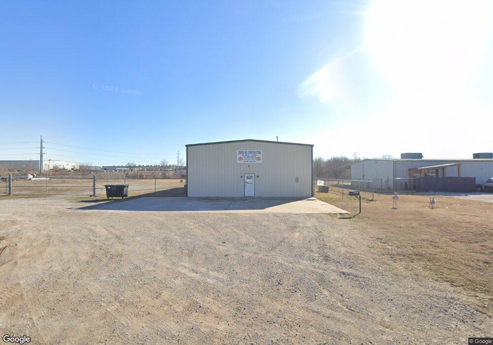
601 W Lowry Rd Claremore, OK 74017
--
Bed
--
Bath
3,000
Sq Ft
1.5
Acres
About This Home
This home is located at 601 W Lowry Rd, Claremore, OK 74017. 601 W Lowry Rd is a home located in Rogers County with nearby schools including Roosa Elementary School, Will Rogers Junior High School, and Claremore High School.
Ownership History
Date
Name
Owned For
Owner Type
Purchase Details
Closed on
Nov 14, 2018
Sold by
Cross Bo Construction Llc
Bought by
Bohannan Properties Llc
Purchase Details
Closed on
Jun 4, 2007
Sold by
Claremore Industrial And Economic Develo
Bought by
Cross Bo Construction Llc
Home Financials for this Owner
Home Financials are based on the most recent Mortgage that was taken out on this home.
Original Mortgage
$103,730
Interest Rate
6.19%
Mortgage Type
Unknown
Create a Home Valuation Report for This Property
The Home Valuation Report is an in-depth analysis detailing your home's value as well as a comparison with similar homes in the area
Home Values in the Area
Average Home Value in this Area
Purchase History
| Date | Buyer | Sale Price | Title Company |
|---|---|---|---|
| Bohannan Properties Llc | -- | None Available | |
| Cross Bo Construction Llc | -- | Land Title Closing Services |
Source: Public Records
Mortgage History
| Date | Status | Borrower | Loan Amount |
|---|---|---|---|
| Previous Owner | Cross Bo Construction Llc | $103,730 |
Source: Public Records
Tax History Compared to Growth
Tax History
| Year | Tax Paid | Tax Assessment Tax Assessment Total Assessment is a certain percentage of the fair market value that is determined by local assessors to be the total taxable value of land and additions on the property. | Land | Improvement |
|---|---|---|---|---|
| 2025 | $1,669 | $18,057 | $2,860 | $15,197 |
| 2024 | $1,589 | $17,197 | $2,860 | $14,337 |
| 2023 | $1,589 | $19,976 | $2,860 | $17,116 |
| 2022 | $1,761 | $19,025 | $2,860 | $16,165 |
| 2021 | $1,600 | $18,580 | $2,860 | $15,720 |
| 2020 | $1,580 | $18,119 | $2,860 | $15,259 |
| 2019 | $1,522 | $17,256 | $2,860 | $14,396 |
| 2018 | $1,446 | $16,435 | $2,860 | $13,575 |
| 2017 | $1,369 | $14,907 | $2,860 | $12,047 |
| 2016 | $1,333 | $14,197 | $2,860 | $11,337 |
| 2015 | $1,316 | $14,197 | $2,860 | $11,337 |
| 2014 | $1,316 | $14,197 | $2,860 | $11,337 |
Source: Public Records
Map
Nearby Homes
- 2403 N Jay St
- 809 W 24th St N
- 817 W 24th St N
- 825 W 23rd St N
- E E 470 Rd
- 1005 W 23rd St
- 1110 W 24th St N
- 1012 W 22nd St
- 1908 N Chambers Terrace
- 1404 Oakhurst Cir
- 1103 W 20th St
- 1112 W 20th St
- 1907 N Chambers Ave
- 18774 S Birch Hollow Way
- 1505 Cedarwood Dr
- 1504 Cedarwood Dr
- 1605 Pinecrest Dr
- 1603 Pinecrest Dr
- 1503 Cedarwood Dr
- 1506 Cedarwood Dr
- 621 W Lowry Rd
- 705 E Lowry Rd
- 0 W Lowry Rd
- 4604 NW Owalla
- 3759 N Owallo Rd
- 2211 El Anderson Blvd
- 1001 N Owalla Rd
- 1001 Owalla Rd
- 2700 N Jay St
- 2555 N Jay St
- 2525 N Jay St
- 2930 Lariat Ln
- 2950 Lariat Ln
- 2940 Lariat Ln
- 2910 Lariat Ln
- 2900 Stirrup St
- 2861 Stirrup St
- 2900 Lariat Ln
- 2920 Lariat Ln
- 2860 Lariat Ln