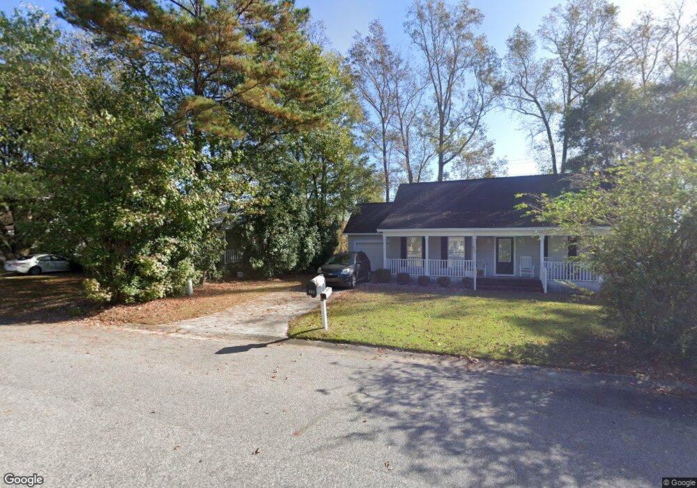
6010 Highway 544 Unit 115 Myrtle Beach, SC 29588
Estimated Value: $125,000 - $159,000
2
Beds
2
Baths
1,059
Sq Ft
$134/Sq Ft
Est. Value
About This Home
This home is located at 6010 Highway 544 Unit 115, Myrtle Beach, SC 29588 and is currently estimated at $141,667, approximately $133 per square foot. 6010 Highway 544 Unit 115 is a home located in Horry County with nearby schools including Forestbrook Elementary School, Forestbrook Middle School, and Socastee High School.
Ownership History
Date
Name
Owned For
Owner Type
Purchase Details
Closed on
Dec 15, 2008
Sold by
Countrywide Bank Na
Bought by
Maclellan Desiree
Current Estimated Value
Purchase Details
Closed on
Sep 22, 2008
Sold by
Master In Equity Horry County
Bought by
Countrywide Bank Na
Purchase Details
Closed on
Jul 19, 2006
Sold by
Rasmussen Richard E
Bought by
The Richard Edward Rasmussen Living Tr
Purchase Details
Closed on
Dec 19, 2005
Sold by
Morrison Vic and Morrison Evelyn H
Bought by
Rasmussen Richard E
Home Financials for this Owner
Home Financials are based on the most recent Mortgage that was taken out on this home.
Original Mortgage
$119,920
Interest Rate
1%
Mortgage Type
Fannie Mae Freddie Mac
Purchase Details
Closed on
Jun 8, 2005
Sold by
Bridge Tender Llc
Bought by
Morrison Vic and Morrison Evelyn H
Create a Home Valuation Report for This Property
The Home Valuation Report is an in-depth analysis detailing your home's value as well as a comparison with similar homes in the area
Home Values in the Area
Average Home Value in this Area
Purchase History
| Date | Buyer | Sale Price | Title Company |
|---|---|---|---|
| Maclellan Desiree | $82,500 | -- | |
| Countrywide Bank Na | $87,550 | -- | |
| The Richard Edward Rasmussen Living Tr | -- | None Available | |
| Rasmussen Richard E | $149,900 | None Available | |
| Morrison Vic | $124,900 | -- |
Source: Public Records
Mortgage History
| Date | Status | Borrower | Loan Amount |
|---|---|---|---|
| Previous Owner | Rasmussen Richard E | $119,920 |
Source: Public Records
Tax History Compared to Growth
Tax History
| Year | Tax Paid | Tax Assessment Tax Assessment Total Assessment is a certain percentage of the fair market value that is determined by local assessors to be the total taxable value of land and additions on the property. | Land | Improvement |
|---|---|---|---|---|
| 2024 | -- | $8,694 | $0 | $8,694 |
| 2023 | $306 | $6,825 | $0 | $6,825 |
| 2021 | $298 | $6,825 | $0 | $6,825 |
| 2020 | $237 | $6,825 | $0 | $6,825 |
| 2019 | $237 | $6,825 | $0 | $6,825 |
| 2018 | $0 | $5,040 | $0 | $5,040 |
| 2017 | $201 | $5,040 | $0 | $5,040 |
| 2016 | -- | $5,040 | $0 | $5,040 |
| 2015 | $205 | $1,920 | $0 | $1,920 |
| 2014 | $191 | $1,920 | $0 | $1,920 |
Source: Public Records
Map
Nearby Homes
- 6022 Dick Pond Rd Unit 206
- 144 Kenzgar Dr
- 324 Crossing Ct
- 203 Harbor Oaks Dr Unit Lot 10
- 112 Harbor Oaks Dr
- 319 Crossing Ct
- 168 Harbor Oaks Dr
- 3827 El Duce Place
- 2397 River Rd
- 3840 Ed Smith Ave
- 389 Cattle Drive Cir
- 3670 Earls Rd Unit HWY544
- 3777 Ed Smith Ave
- 3071 Visionary Dr Unit Ibis- Lot 762
- 3067 Visionary Dr Unit Ibis - Lot 763
- 3094 Visionary Dr Unit Ibis- lot 751
- 3081 Visionary Dr Unit Ibis - Lot 758
- 3089 Visionary Dr Unit Dunlin - Lot 756
- 3102 Visionary Dr Unit Ibis- Lot 753
- 3085 Visionary Dr Unit Ibis- Lot 757
- 6010 Highway 544
- 6010 Highway 544 Unit 216 Bridge Tend
- 6010 Highway 544 Unit 316
- 6010 Highway 544
- 6010 Highway 544 Unit 214
- 6010 Highway 544 Unit 107
- 6010 Dick Pond Rd Unit 214
- 6010 Dick Pond Rd Unit 113 Bridge Tender
- 6010 Dick Pond Rd
- 6010 Dick Pond Rd Unit 212
- 6010 Dick Pond Rd Unit 313
- 6010 Dick Pond Rd Unit 216
- 6010 Dick Pond Rd Unit 116
- 6010 Dick Pond Rd Unit 316
- 6010 Dick Pond Rd Unit 314
- 6010 Dick Pond Rd Unit 215
- 6010 Dick Pond Rd Unit 114
- 6016 Highway 544
- 6016 Highway 544 Unit 310
- 6016 Highway 544 Unit 304
